Monday, June 7, 2021

W6/SC-338 Black Mountain

I was down in the San Diego area for work, and decided to take advantage of a day off to get some summits. First up was Black Mountain, near Poway. I parked at the gliderport trailhead on Carmel Valley Road.
At the start of the trail.

I took the most direct route to the summit. After a short flat section, the trail starts climbing up through the scrub. There are a lot of small switchbacks in this section, and it never gets too steep. 
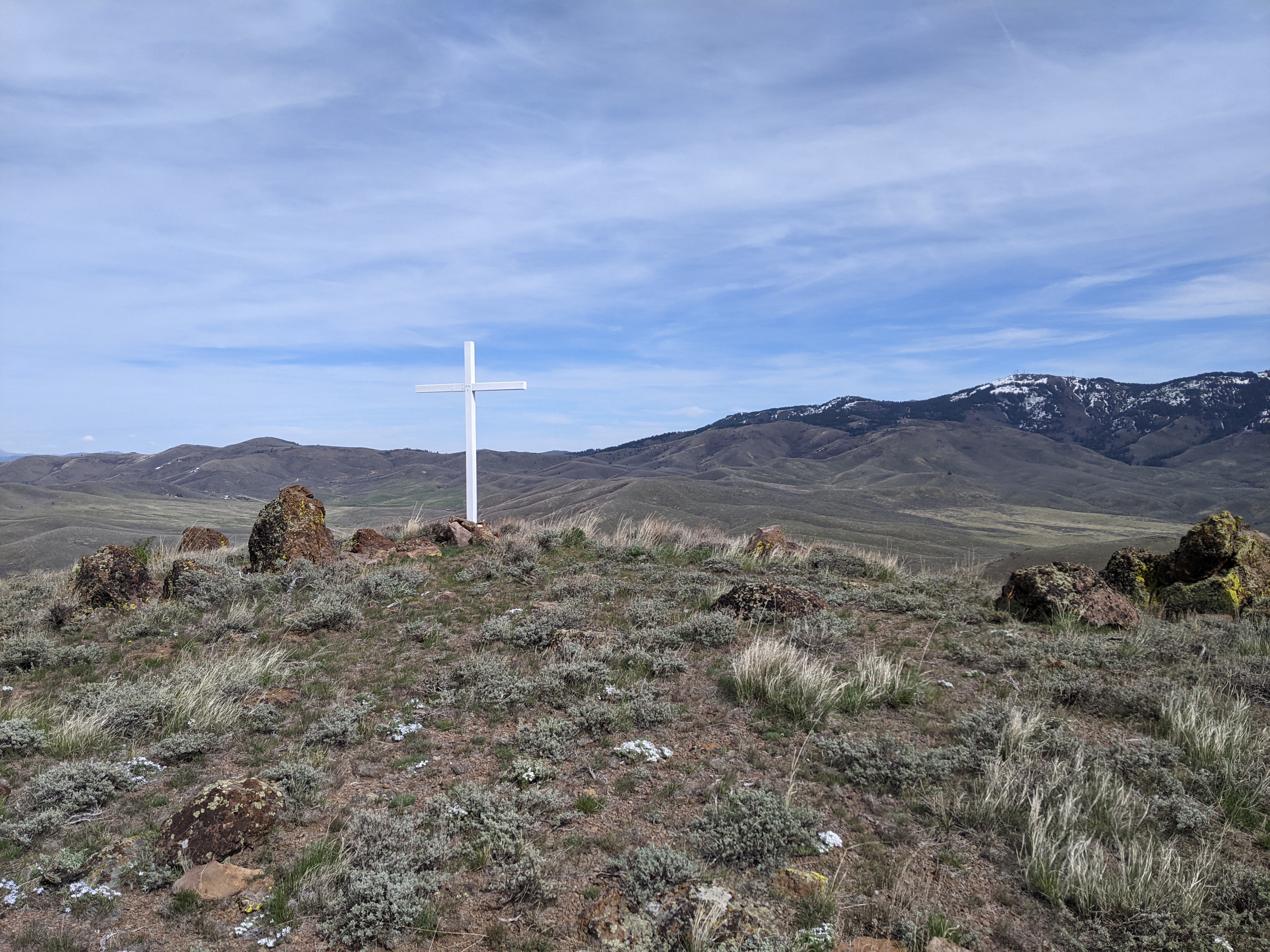
The summit from the false peak on the way.

About half way up you get to a peak called "Secondary Summit" on some maps. There is a fence partially blocking the road. I assume this is to keep bikes out. After dropping a short distance to the col, the final climb to the summit starts. It was close to noon at this point and getting warm, but the climb was short enough not to be too hard.

Just in case you have any doubt you've reached the summit, there is a big sign.

There are a lot of towers on the summit, and there were a fair number of people up there too. I found an out of the way place to set up on the east side. In retrospect, it wasn't the best. On the air there was interference on the HF bands I tried with my MTR. Probably not the best radio for this summit. I had my 2m BPF with me, so I was able to make some VHF contacts with nearby people. 


Trying to stay cool in the sun.

If I go again, I'd set up on the west side, down a little ways from the towers. That, or I'd bring a rig with better filtering. And if you're going to try VHF, make sure your radio can handle a high-RF environment or you'll be disappointed.

Trailhead: Gliderport Trailhead, Carmel Valley Road. There appear to be a few other trailheads too.
Website: SOTA Site.
Maps: AA6XA SOTA Hikes map.
Route: Take the trail up the hill, over the false summit then up to the high point.
Red Tape: None.

Wednesday, June 2, 2021

W6/SC-365

 After hiking and activating Black Mountain I drove a few minutes down the road to activate this unnamed peak. From my searching, it appeared the best trailhead was at the end of Four Gee Road. I turned around in the wide area at the end, then parked under a tree in the shade.

Trailhead is the dirt road heading to the right.

The trail seems to be a fire access road. It parallels the fence at the end of a subdivision for a few hundred yards before turning left and heading up the hill. At the first junction up the hill, I turned left again and headed towards the water tank.
Black Mountain in the background.

Just past the water tank the dirt road ends and becomes a paved driveway. I didn't realize where it led, so I turned and took it up the hill. Near the top are a few houses. Fancy houses. There was no negative signage, so I went all the way to the top. Past the last house the road turns to dirt again and goes to a small cell tower. I went to the far side of the enclosure to set up.
Nice views to the north.

Despite the tower there was no interference on HF. I made plenty of contacts, then decided to try VHF again. Didn't get as many contacts, but it was still fun. 
Cell tower at the summit.

I went down the same way I came up. I was going to do another summit, but my rental car started having problems, so I had to take it back to the airport to get a new one. Next time....

Trailhead: End of Four Gee Road.
Website: SOTA Site.
Maps: AA6XA SOTA Hikes map.
Route: Take the trail along the fence, then turn left up the hill. Turn left at the intersection towards the water tank, then right up the paved driveway.
Red Tape: None, but it is unclear to me if the area is private property.

Sunday, May 2, 2021

W7I/SC-132 Don Benchmark

 I had some free time from work, so naturally I decided to go get a SOTA peak. The peaks above Boise looked like they were still snow covered, so I headed east a bit to some lower hills. I was not prepared for snow. I parked at an unmarked dirt road at the base of the peak. 

Dirt road near the start.

The road looked pretty rough, so I didn't try driving it in the sedan I had. Just up the hill is an unlocked gate. After going through I followed the road for a short distance. After about a half mile I saw a line up the hill that looked good, so I stepped off. My route to the top was more or less west from the road.
Excellent views from the climb up.

I found some places that didn't have a lot of brush. This was nice since I was wearing shorts and my legs were getting a bit cut up. I definitely took a steeper route to the summit, but it wasn't so bad going up.  
Summit cross.
At the summit is a wooden cross. I found the benchmark near the cross. It was pretty windy on top, but I didn't mind since it was such a warm day. I set up my antenna, using the cross as a support. There was good cell service on top. I didn't make a lot of contacts, but I made some on each band. After I had worked everyone, I packed up and headed down.
Peak from the dirt road.
I took a more circuitous route down to get a extra mile or two in before heading back to the car. It was very warm in the valley without the breeze. 

Trailhead: US 20, dirt road south-east of the peak
Website: SOTA Site.
Maps: AA6XA SOTA Hikes map.
Route: Follow the road up the hill. When you see a good spot, head up the hill to the summit.
Red Tape: None. Peak appears to be on BLM land.

Monday, March 22, 2021

KFF-3844 Jordan Lake

 The end was finally here, and I was heading to the airport to go home. Since my flight was in the late afternoon, I had some time to kill. Rather than sit around the terminal, I decided to get a quick WWFF/POTA activation in. Jordan Lake Recreation Area was on the way to the airport, so it was easy to stop by for some fresh air.

Playground and picnic shelter.

My plan was to go to Poplar Point and find a table to set up at. However, the lady at the entrance booth told me I needed a camping reservation to go in. So I instead went to the Ebenezer area, a few miles down the road. This day use area has some beaches and other stuff you might want as a day tripper.

Setup in the car. It felt so wrong.

It was cool and windy, and most of my warm gear was packed away, so I decided to operate from the car. I set my wire up from the car window across a field, using a tree to hold up the pole. Overall seemed like a good setup.
Pole and wire against a tree.

Since I only had limited time I decided to only do 20 and 40. I started on the higher band, and got a number of people, including Italy. After about 15 minutes I switched to 40 to get the locals. Someone started sending dits over me, on and off. After a few times of this, I just gave up. It was about the time I had to leave anyway, so not much time lost.
The stick I used as a stake is visible in the middle of the field.

This was a nice place for a quick activation, and if I'm in the area again I'll probably stop by for some more operating.

Friday, March 19, 2021

KFF-2735 Hanging Rock State Park

 I had another weekend off, so decided to go somewhere farther away for a run. I chose Hanging Rock SP, up near Winston-Salem. It was just past noon when I got there, and the main lot was full. Lucky for me, there was plenty of space at the lot up the hill.

The lake.

My route to the summit of Moore's Knob first took me by around part of the lake. There were plenty of people on the trail, and even some fishermen. On the other side, I found my way through the campground and the trail on the other side. This is where the stairs started.

So many stairs.

The trail up to the summit is basically a long staircase. It was a bit tedious going up, but was probably the right choice for tread considering how many people use it. I passed a lot of groups going up and down. The summit was pretty busy, and I was surprised no one was wearing masks despite being so close to other people. 
From the summit tower. This would be better on a weekday.

I didn't really want to talk to people about radio, so I found a small clearing a short distance off the trail to set up in. My antenna was put up pretty badly, all sorts of weird angles when it went over or under tree branches. Despite this I still worked Europe on 20m and plenty of W/VE stations on all three bands. 
The old reliable MTR 3B.

Once I had worked everyone, I headed down the other side of the mountain for the rest of my loop. This side had many fewer people, at least until I got down to the col. Here there were a bunch of boulderers, and even some horseback riders. After running through the woods some, I returned to the col and headed up towards Devil's Chimney. There were people enjoying the many viewpoints along the ridge, but still plenty of space for me to have my own.
Sauratown Mountain and Pilot Mountain.

I refilled my water bottles, then headed down to Hanging Rock, which the park is named after. The trail from the parking lot to the top of the rock is a wide trail with many people. So many people. Again, this would probably be better on a weekday with fewer people. After tagging the summit of the rock, I headed back to the parking lots. 

The trail runs under Hanging Rock before looping around to the summit.

This park was pretty nice, but super busy. In a few weeks when the leaves come in and the rhododendron start blooming it will probably be even nicer. Some day I'll be in the south when the rhododendron are in full bloom. I always seem to be there a little too early or late.