Monday, July 12, 2021

W7M/FN-181 Peak above Huckleberry Lookout

 It was a warm day, but that didn't stop us from heading to the west side of Glacier to do some hiking and sightseeing. Going to the Sun Road was still closed, so we had to go the long way around. We reached the marked trailhead for Huckleberry Lookout a bit later than I would have liked, but the trail looked shady so I wasn't too worried. 

An official NPS trailhead.

The first part of the trail is flat, as it follows McGee Creek to the base of the climb. But once it starts going up it doesn't stop. 
Pleasant flat hiking near the cars.

The trail is well graded for its climb up, likely because it was used by pack animals when the lookout was actively staffed. It was pretty warm, but the was enough shade and breeze to make it bearable. And as we climbed higher, the views got better and better.
The trail goes up a canyon to the ridge.

At about 6100 feet the trail stops climbing and turns right, and begins to sidehill below the ridge. From this area I was able to see the summit, and the ridge leading up to it.
The Apgar Mountains.

My orginal plan had been to take the northeast ridge up to the summit, but from the vantage point I could see that the southeast ridge looked better, just as gentle and free from trees and brush. There was a line of snow, but it didn't look wide. 
The summit from below.

I took the trail around until I was more or less below the col, then stepped off. The short climb up to the ridge was very steep, but the brush wasn't very dense and it wasn't too hard. 
The steep off trail section.

Despite its short length, this climb was the hardest part of the hike. Up on the ridge, it was a pleasant walk up to the summit. On top I used one of the trees to hold my antenna pole and got on the air.
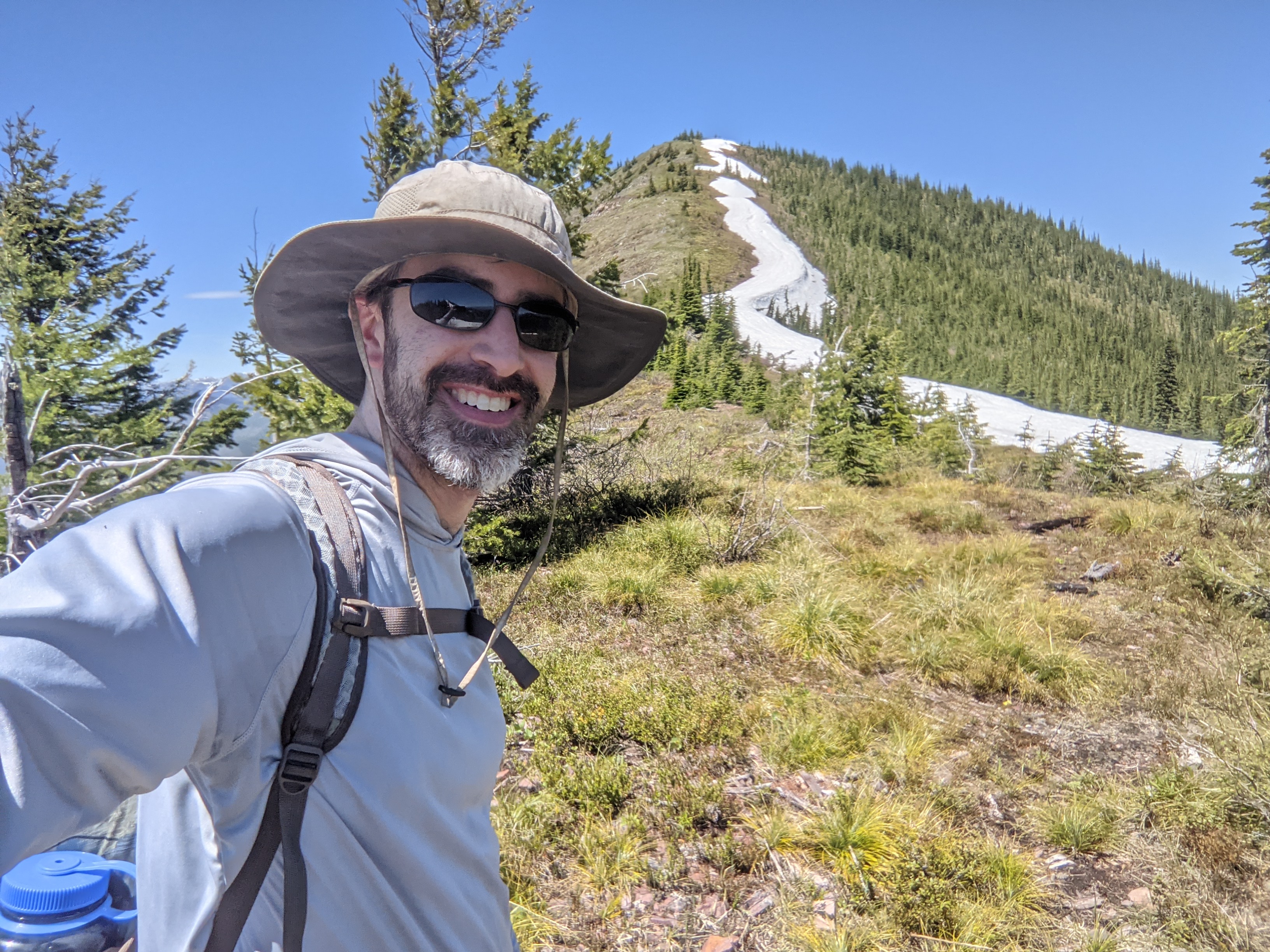
Almost at the top!

I was surprised to have service on the summit. It wasn't the best, but it was enough to get out spots and texts. I even managed to get a bunch of summit to summit contacts, so everyone else must have been out that day.
Antenna on the summit.

It was a beautiful day, and I didn't want to leave the ridge. However, my sister had skipped this summit and headed straight to the lookout. Not wanting to backtrack, I followed the ridge down towards the lookout. It seemed steep in places, but nothing bad. Near the trail, I saw some indications of an old trail or a use trail.
Looking down at the North Fork of the Flathead River.

It was a quick climb up the trail to the lookout. This was another great view, and worth the trip over. We could have sat up there for a long time, but it was getting late.
Huckleberry Lookout.

We took the trail all the way back to the car. There were some snowfields on the north-facing slopes, but nothing hard. It was warm enough that the snow was quite soft.
The high peaks of Glacier. Next time....

Back at the car we decided it was dinner time, and so we headed into town to find some food. We then went back into the park to see Avalanche Lake, then watch the sunset over Lake McDonald. It was a long, but very good day.

Trailhead: Huckleberry Lookout Trailhead
Website: SOTA Site.
Maps: AA6XA SOTA Hikes map.
Route: Take the trail up to the ridge. Either scramble up to the ridge and follow the southeast ridge to the summit, or take the trail around to the col and take the northwest ridge up.
Red Tape: None. The short way in may require a Going to the Sun Road permit, but you can drive around to the north to avoid that.

W7M/GR-166 Lubec Ridge

 I was visiting Glacier National Park with my sister, and the forecast was for some not so great weather in the park, especially up high. To avoid this, we decided to do some hiking in the National Forest just south of the park. A ranger had recommended Buffalo Lakes, so we decided to go there, then head up to this summit.

Gate at the trailhead.

The trailhead is not marked, it is just a pullout with space for about four cars on the south side of US 2, a few miles past the Reservation border. There is a gate to stop cattle, then the trail. The trail up to Buffalo Lakes is pretty well worn, and was easy to follow. The first part of the trail is parallel to the highway, but after a quarter mile or so it turns and follows a ridge towards the lakes.
Climbing up to the lakes. Glad I wasn't doing a high peak!

We did make a wrong turn a little below the lakes, but quickly realized it wasn't the trail when we started having to fight through the brush. In one of the meadows on the way up we saw a bear. We made some noise, and it ran off, but scary for a moment.
The Buffalo Lakes. Very pretty.

At the lakes we followed the shore around the south side. There was no obvious use trail, so we just picked a point to head through the dense brush surrounding the lakes and into the forest. The brush band was not wide, thankfully, and we were soon heading up through a nice open forest. We quickly gained the ridge, and the views really opened up, along with the wind.
Flowers holding on near the summit.

It was quite windy on top. We tagged the summit, took some pics, then retreated down the hill a bit to get out of the wind. I set up near the bottom of the activation zone, at the edge of some trees. This provided enough of a wind break to make operating mostly pleasant.
Always nice to have a view while operating.

I was surprised to have good cell service on top, so I took advantage of it to spot. I got contacts on all the bands I had, 20, 30, and 40, but not very many on each. After about 20 minutes, the wind was getting us both cold, so I packed up and we retreated down the hill. 
Buffalo Lakes would be a nice place to camp.

We mostly followed our track down, and quickly warmed up once we got back into the forest. We didn't see our bear friend on the way down, but I was ok with that. Overall, this is a relatively easy summit, and I'm surprised I was the first to activate it.

Trailhead: Unmarked parking area, US 2, a few miles west of the reservation boundary.
Website: SOTA Site.
Maps: AA6XA SOTA Hikes map.
Route: Take the trail up to Buffalo Lakes. At the southeast end of the lakes, take the ridge up to the summit.
Red Tape: None. The hike is in Lewis and Clark NF.

Monday, June 7, 2021

W6/SC-338 Black Mountain

I was down in the San Diego area for work, and decided to take advantage of a day off to get some summits. First up was Black Mountain, near Poway. I parked at the gliderport trailhead on Carmel Valley Road.
At the start of the trail.

I took the most direct route to the summit. After a short flat section, the trail starts climbing up through the scrub. There are a lot of small switchbacks in this section, and it never gets too steep. 
The summit from the false peak on the way.

About half way up you get to a peak called "Secondary Summit" on some maps. There is a fence partially blocking the road. I assume this is to keep bikes out. After dropping a short distance to the col, the final climb to the summit starts. It was close to noon at this point and getting warm, but the climb was short enough not to be too hard.

Just in case you have any doubt you've reached the summit, there is a big sign.

There are a lot of towers on the summit, and there were a fair number of people up there too. I found an out of the way place to set up on the east side. In retrospect, it wasn't the best. On the air there was interference on the HF bands I tried with my MTR. Probably not the best radio for this summit. I had my 2m BPF with me, so I was able to make some VHF contacts with nearby people. 


Trying to stay cool in the sun.

If I go again, I'd set up on the west side, down a little ways from the towers. That, or I'd bring a rig with better filtering. And if you're going to try VHF, make sure your radio can handle a high-RF environment or you'll be disappointed.

Trailhead: Gliderport Trailhead, Carmel Valley Road. There appear to be a few other trailheads too.
Website: SOTA Site.
Maps: AA6XA SOTA Hikes map.
Route: Take the trail up the hill, over the false summit then up to the high point.
Red Tape: None.

Wednesday, June 2, 2021

W6/SC-365

 After hiking and activating Black Mountain I drove a few minutes down the road to activate this unnamed peak. From my searching, it appeared the best trailhead was at the end of Four Gee Road. I turned around in the wide area at the end, then parked under a tree in the shade.

Trailhead is the dirt road heading to the right.

The trail seems to be a fire access road. It parallels the fence at the end of a subdivision for a few hundred yards before turning left and heading up the hill. At the first junction up the hill, I turned left again and headed towards the water tank.
Black Mountain in the background.

Just past the water tank the dirt road ends and becomes a paved driveway. I didn't realize where it led, so I turned and took it up the hill. Near the top are a few houses. Fancy houses. There was no negative signage, so I went all the way to the top. Past the last house the road turns to dirt again and goes to a small cell tower. I went to the far side of the enclosure to set up.
Nice views to the north.

Despite the tower there was no interference on HF. I made plenty of contacts, then decided to try VHF again. Didn't get as many contacts, but it was still fun. 
Cell tower at the summit.

I went down the same way I came up. I was going to do another summit, but my rental car started having problems, so I had to take it back to the airport to get a new one. Next time....

Trailhead: End of Four Gee Road.
Website: SOTA Site.
Maps: AA6XA SOTA Hikes map.
Route: Take the trail along the fence, then turn left up the hill. Turn left at the intersection towards the water tank, then right up the paved driveway.
Red Tape: None, but it is unclear to me if the area is private property.

Sunday, May 2, 2021

W7I/SC-132 Don Benchmark

 I had some free time from work, so naturally I decided to go get a SOTA peak. The peaks above Boise looked like they were still snow covered, so I headed east a bit to some lower hills. I was not prepared for snow. I parked at an unmarked dirt road at the base of the peak. 

Dirt road near the start.

The road looked pretty rough, so I didn't try driving it in the sedan I had. Just up the hill is an unlocked gate. After going through I followed the road for a short distance. After about a half mile I saw a line up the hill that looked good, so I stepped off. My route to the top was more or less west from the road.
Excellent views from the climb up.

I found some places that didn't have a lot of brush. This was nice since I was wearing shorts and my legs were getting a bit cut up. I definitely took a steeper route to the summit, but it wasn't so bad going up.  
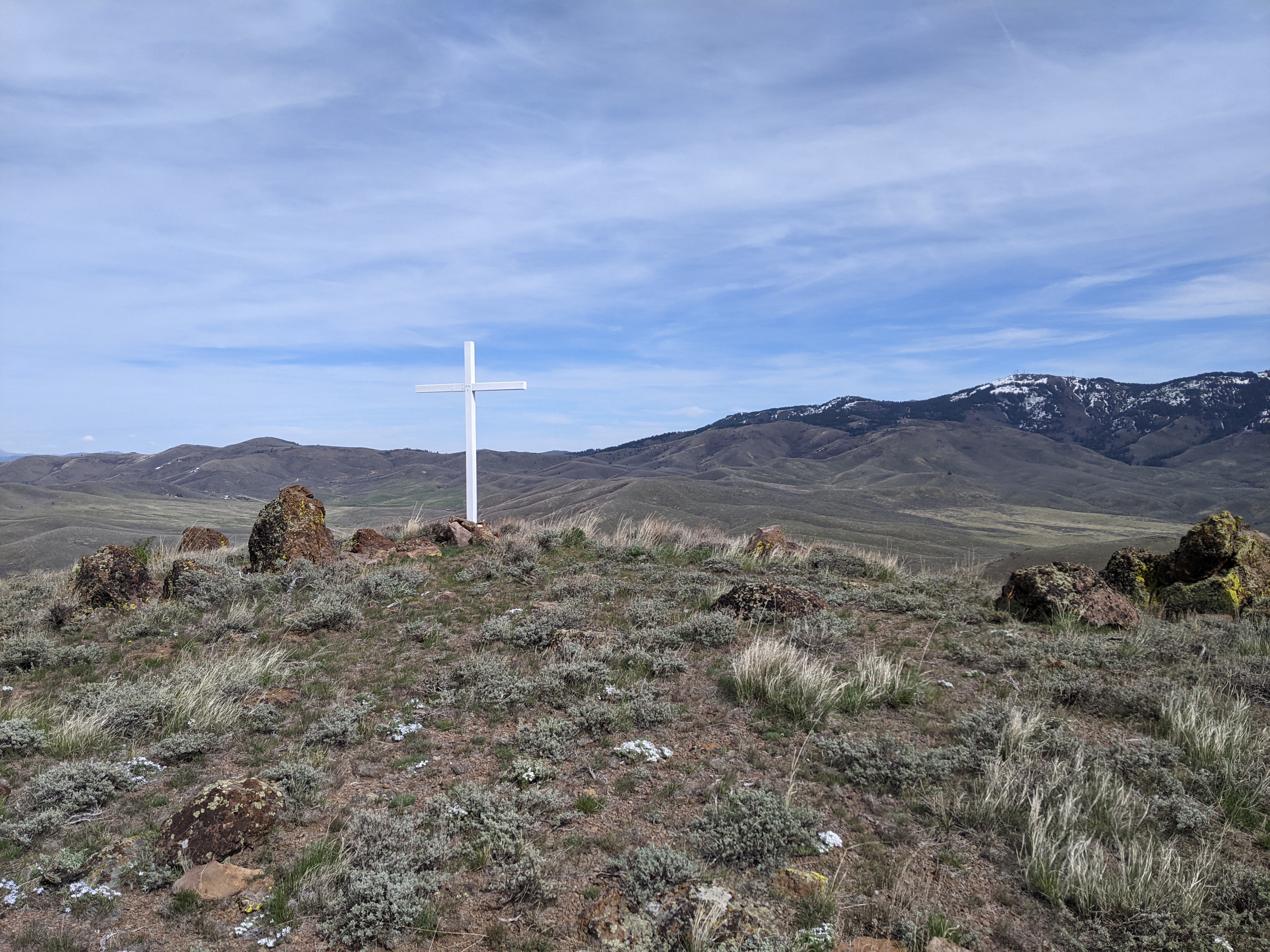
Summit cross.
At the summit is a wooden cross. I found the benchmark near the cross. It was pretty windy on top, but I didn't mind since it was such a warm day. I set up my antenna, using the cross as a support. There was good cell service on top. I didn't make a lot of contacts, but I made some on each band. After I had worked everyone, I packed up and headed down.
Peak from the dirt road.
I took a more circuitous route down to get a extra mile or two in before heading back to the car. It was very warm in the valley without the breeze. 

Trailhead: US 20, dirt road south-east of the peak
Website: SOTA Site.
Maps: AA6XA SOTA Hikes map.
Route: Follow the road up the hill. When you see a good spot, head up the hill to the summit.
Red Tape: None. Peak appears to be on BLM land.