This peak had been on my radar for a long time, and I finally picked a weekend to come up and do it. I left home early and beat the traffic in Napa Valley. The road up to the pass had quite a few switchbacks, and I was surprised how many cars there were on it. At the top there is a small parking lot, where I parked. I was there at 8, and it was already getting tight. I'm glad I got there when I did.
 |
| Up the trail in the forest. |
The first mile or so is on single track through the woods. At a small flat area there is a marker where Robert Louis Stevenson spent his honeymoon. The cabin is long gone. A short distance above that the trail ends and joins the access road for the towers on top. It also comes out of the forest and enters an area that was burned in the 2017 North Bay fires.
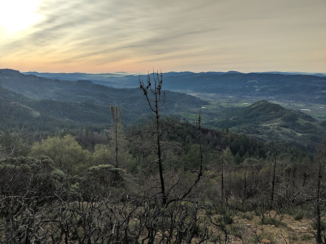 |
| Looking down at Calistoga. Mt Diablo in the distance. |
Coming out of the trees, the wind picked up quit a bit. Hiking up hill I had no problem staying warm, but I did have to tighten the straps to keep my had from blowing away. The access road was used as a fire break during the fires, and it is interesting to see one side burnt and the other untouched.
 |
| Mt Tam in the distance, from the summit. |
Eventually the road switchbacks up to the summit plateau. There are turn-offs for each of the sub-peaks that have towers. I went up to the East Peak because it is the highest point in Napa County. Another high point checked off! After a quick final climb, I was then on the summit. I took some photos, then quickly retreated down a little ways on the lee side of the hill.
 |
| RADAR installation on the top of East Peak. Lake Berryessa in the valley behind. |
Here, out of the worst of the wind, I set up. I had good cell service, and had no trouble spotting. I worked people on all three bands I had, including a few summit to summits. I tried VHF, but only got a few people in Santa Rosa. I had been eyeing a nearby
peak, 3431, and decided to try and hike over before heading down.
 |
| Not blown away yet. |
Trailhead: Robert Louis Stevenson SP.
Website: SOTA Site.
Maps: AA6XA SOTA Hikes map.
Route: Take the trail up the switchbacks to the road, then follow road to summit.
Red Tape: None.


No comments:
Post a Comment