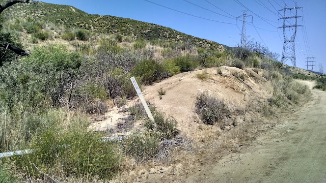
I had some time to kill one afternoon, so I picked out a peak to go activate. Tule Ridge didn't look to hard, so I packed up the radio kit and headed out. The trailhead is a pullout just south of Green Valley, by the city limit sign and flashing speed limit light. From here I crossed the main road to the dirt access road. After the first turnoff there is a trail sign, and here I turned and headed up the ridge. There is an old fire break or bike path running along the ridge, and it is quite easy to follow. There are some sections, however, that are much steeper than appeared on the map. They were unpleasant to go up, but not as bad going down as I feared they would be.
 |
| Turnout where I parked. |
 |
| Sign at the start of the trail. |
As you hike up there are great views of San Francisquito Canyon and South Portal Canyon. Near the top I could see Bouquet Reservoir. There are some flat areas at the top with space between the grass and other plants, and I had views while I sat and operated. It took me a little over an hour to hike up.
 |
| Ready to go. |
There are no trees at the top, so bring your own antenna support. My verizon phone had OK 3G service, so I was able to send out spots. I started on 20 meters, and made five contacts. I spent a while calling an 15 meters, and a ZL responded, but he didn't come back after I sent him a signal report. Too bad. I made a few more contacts on 30 and 40, then had to pack up and head back.
 |
| Green Valley and my parking spot. |
As I was leaving the summit, I missed the turn down the way I came up and nearly headed down the wrong side of the mountain. Luckily I realized my mistake before I had lost too much elevation. Other than that, it was a quick trip down, then an easy drive back to the hotel. I am surprised that I'm only the second person to activate this peak. It is not a difficult hike or drive, and it is 4 points, well worth the effort.
Trailhead: San Francisquito Canyon Road, south of Green Valley. Pullout is not marked on USFS map, but easy to see in satellite view.
Website: SOTA Site
Maps: KB1KXL SOTA Hikes map.
Route: I followed the east ridge to the top. See the caltopo map above.
Red Tape: None.
 |
| On top of Tule Ridge. |


No comments:
Post a Comment