Monday, January 20, 2020

W6/NC-350 Loma Alta, 2020 January VHF Contest

It was the January VHF contest, and time for my annual trip up to Loma Alta. This year it was sunny, but very windy and cold. I went up from Big Rock again.
The Big Rock.
This year I had two new bands, 902 and 1296. I had bought transverters from SG Labs the previous fall, and it was time to take them out to see how they worked. At the summit I set up similar to last year, yagis on one pole, wire antennas on the other.
144, 222, 432 antennas.

Vertical EDZ for 2, inverted-V EDZ for 6.
I had a few minutes before the contest started, so made 2 dozen quick contacts on 20 using my Pacificon Special antenna. Propagation on 20 was good. Once 11am rolled around I stared doing VHF. I quickly got contacts in the four nearby grids, CM88, CM87, CM98, CM97, and a few farther away ones on 6 and 2 meters. Once things started to slow down, I got out the new transverters to give them a try. They worked wonderfully.
The microwave setup.
On 1296 I heard some people in the south bay, and quickly got some contacts. Then I realized that K6MYC was actually in the Sierra foothills north of Fresno, 280km away! This is only 10km less than my 2m distance record!
My longest 1296 contact, and favorite from the contest.
902 was less fruitful, only one contact on the band. I was amazed how much more noise there was pointing the antenna at cities. By this point I was getting fairly cold, and my mast had just blow over again. I decided to just pack up and head down. My score this year is quite a bit lower than in the past because of the shorter time, but with a bit more preparation I think I'll be able to do better in June and September.
The wire antennas.
I need to get my digital interface working so I can get on FT4 and FT8 next time. I also need to see if I can get a better system to hold the pole up in the wind. I think I might need a second guying ring higher up the pole. I'd also like a 146/223/446 vertical antenna for FM. It would be nice to be able to just leave my HT connected to an antenna the entire time. I also want a better solution for the microwave antennas than just holding them. Its hard doing everything with only one free hand.

Tuesday, January 7, 2020

W1/HA-196 Gap Mountain

After activating Little Monadnock it was time for the last summit of 2019, Gap Mountain. I had seen a notice that the southern trailhead was closed for logging, so I drove around to the north trailhead, on Bullard Road. There is a good size parking lot on the left just before the road makes a sharp turn right.
Grand Monadnock through the trees.
Gap Mountain is just across a pass from Grand Monadnock, and I had views of it through the trees as I climbed up. The trail was well marked, and there were quite a few people out hiking, despite the Patriots game being on. After a relatively flat approach, the trail climbs up the face of the mountain. It was quite icy in places, and I was glad I had traction with me.
Looking north at Grand Monadnock again.
The route is totally in the forest until you reach the somewhat open area on top of the north peak. This area had the best views. It is well signed, to make it harder to descend the wrong side of the mountain once you're on top. The true summit of the mountain was looming just south.
Gap Mountain summit behind me.
My map showed a trail leading up to the peak, but I couldn't find it. So I decided to bushwhack, starting by heading straight towards the peak. I quickly reached a cliff, and had to walk along the top of it a short distance to find a place I could scramble down. It was not as easy as the open granite on higher mountains. After that it was an easy walk through the open forest. I found some human tracks that seemed to be heading up to the top, and followed them.
Summit cairn.
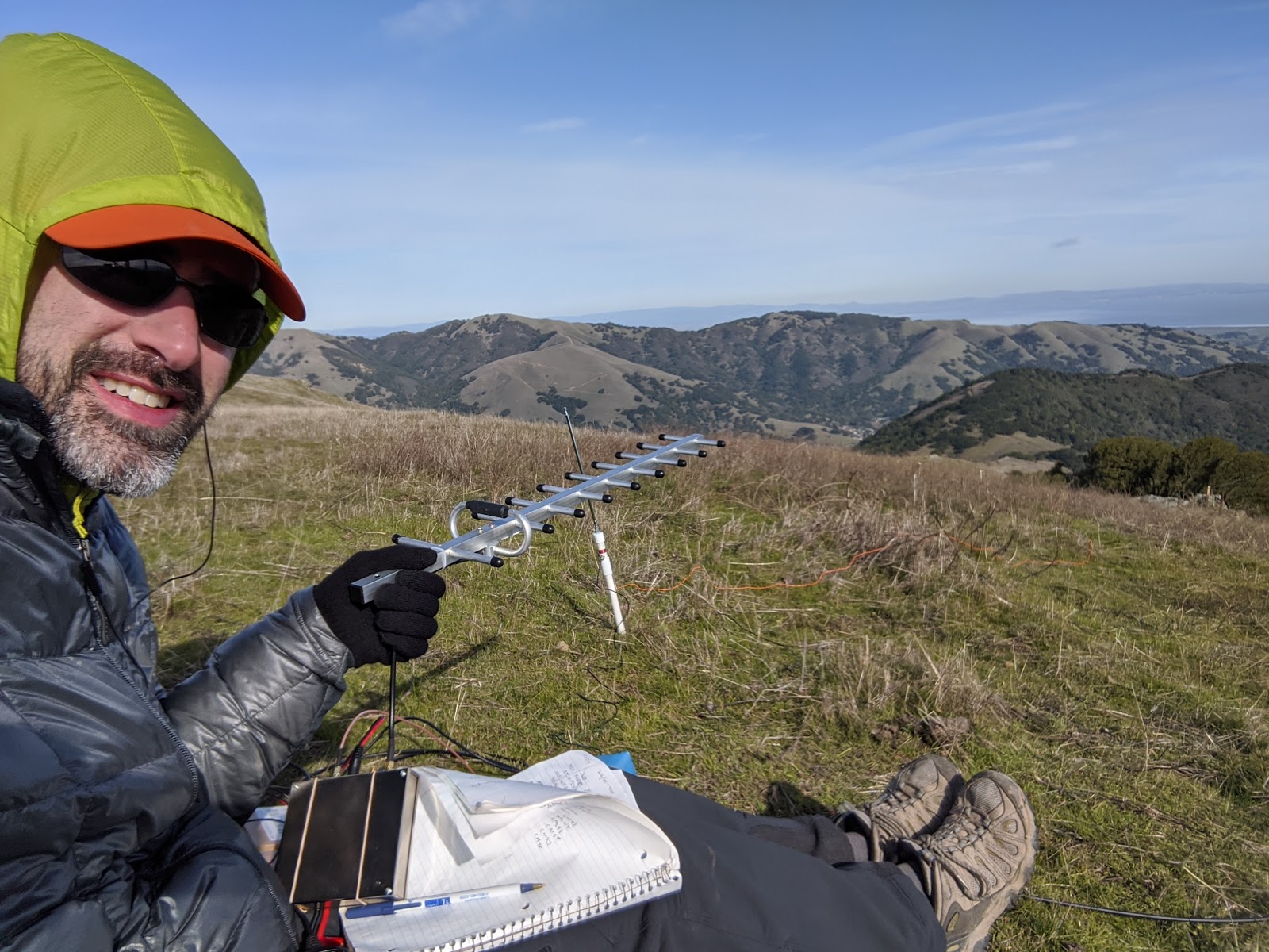
They led to a large cairn at the summit. I continued just past it to a relatively open area where I found a rock to sit on and put up my antenna. Since it was early afternoon, it was too late to get European stations, but there were plenty of North American chasers. I tried 17m again, and got many more contacts than I was expecting. I had to be back home in time for some dinner plans, so I didn't stay too long on top.
Sign on the way down. Despite what it says, that way is the best route to the summit.
Instead of trying to climb up the cliff on my way back, I headed to the left (west) some when I got to the col between the peaks. This was a much better option. I passed a sign saying the faint path I was on was not the trail to the summit, but the blazed trail doesn't get to the high point and going around the cliff is much safer than up and down it. A short distance past the sign I picked up the Metacomet-Monadnock Trail again, and followed it over the North Peak and back down to the car.
This was the best view at the true summit.
Back at the car I headed home, and made it in plenty of time for dinner.

Trailhead: Bullard Road, on the left just before the road turns right. There is a big sign.
Website: SOTA Site.
Maps: AA6XA SOTA Hikes map.
Route: Take the trail over, staying on the trail (not the road). At the north summit, continue down a short distance, then bushwhack past the "not a trail" sign and up to the summit.
Red Tape: None.

W1/HA-118 Little Monadnock

It was the last day of the year where I had both nice weather and access to a car, so I took advantage of it to get two more peaks. First up was Little Monadnock, the last of the peaks with "Monadnock" in their name. The best trailhead seemed to be Rhododendron State Park, so I drove over. The main parking lot was gated and unplowed, but there was plenty of space to park outside the gate.
One of the rhododendrons in the grove.
The trail passes through part of the grove before a well-signed junction turns off to the summit. The trail was well packed, and I had no trouble following it. The first part of the trail is fairly flat, winding through the woods. It then climbs up to the ridge, where it intersects with the Metacomet-Monadnock Trail. Turn left here, and continue up to the summit.
Well marked summit.
You'll know you're there when you get to the big summit sign. Since I hadn't seen anyone else, I just set up in the clearing, strapping my pole to the sign post. It was still early enough that I got some good EU DX on 20m. It was also much warmer sitting on top, so I spent more time than I had on other activations. I even tried 17m, where I worked some more Europeans.
Mt Monadnock in the distance.
The cell service was good on top. Once I started to get cold, I packed up and headed back down, retracing my steps. I passed a few people heading up, and was soon back at the car. There was plenty of daylight left, so I headed over to Gap Mountain.

Trailhead: Rhododendron State Park
Website: SOTA Site.
Maps: AA6XA SOTA Hikes map.
Route: Take the trail into the grove, then turn right onto the summit trail. Left on the Metacomet-Monadnock Trail once on the ridge.
Red Tape: None.
The woods feel so open in the winter.