Saturday, September 28, 2019

W6/NS-422 Quick Benchmark

This is an easy drive up in the Sierra foothills, not too far from I-80. After driving up Colfax Hill I came over to activate this peak. The summit is in someone's backyard, but there is a large pullout a few feet below on the other side of the road, at the intersection of Bear River Ranch Road and Sun Ranch Road. Google was able to get me there with no trouble.
I used this "No Trespassing" tree to hold up my pole.
A few cars drove by as I was operating, and I waved back to them. After a little while, 2 deer came up through the bushes. They froze when they noticed me, but after seeing I was no threat, kept on browsing. One looked like a young fawn.
One of the deer.
I had a staring contest with the mom for quite a while. They only left when I got up to pack up my stuff. This is one of the nicest drive-ups I've done, and I can see why people like living in the foothills.

Trailhead: Drive up, intersection of Bear River Ranch Road and Sun Ranch Road.
Website: SOTA Site.
Maps: AA6XA SOTA Hikes map.
Route: Drive up.
Red Tape: None.
Scared deer, when it first noticed me.

W6/NS-420 Colfax Hill

This peak is an easy drive up near the town of Colfax, just off of I-80. After activating Gold Star Peak I stopped by on my way back to the Bay Area. There are some houses on the top, but the road goes through the activation zone. I found a place to park on the side, and set up.
Operating.
It was my first time using the QRPGuys paddle that plugs into the front, so I made some sending mistakes. Its a nice little paddle though. After making my contacts I left. No reason to hang out on this summit. Next up was the drive up Quick Benchmark.

Trailhead: Drive up, Knorr Swiss.
Website: SOTA Site.
Maps: AA6XA SOTA Hikes map.
Route: Drive up.
Red Tape: None.

W6/NS-189 Gold Star Peak

This peak is an easy walk and nice place for an activation. I had camped at the base of the peak, where the TRT crosses the road. There was a pretty nice sunset through the trees that night.
Sunset at my campsite.
In the morning I packed up and headed up the hill. I took the Tahoe Rim Trail a short distance, then bushwhacked up to the summit. There is no trail. The slope is gentle, and it is an open forest, so no problems getting up to the top.
Open area at the top.
There was some sort of logging that started nearby shortly after I got to the summit, so it wasn't as quiet and peaceful as I expected. I brought up my kx3 and made plenty of contacts. I didn't spend too long, since I still had a long drive back home to do.
TRT back near the car.
Trailhead: Where TRT crosses Mt Watson Road, below the summit.
Website: SOTA Site.
Maps: AA6XA SOTA Hikes map.
Route: Hike up to the top. Easy bushwhack.
Red Tape: None.

Friday, September 27, 2019

W6/NS-135 Maggies Peak South

I was in South Lake Tahoe, and it didn't seem like I'd be able to get out of town down route 50 without spending hours in traffic, so I started looking for a new peak to do. Jamie N6JFD recommended Maggies Peak South as a good peak, that wasn't too hard, and had no traffic getting to the trailhead.
Looking north at the first viewpoint.
I managed to grab a spot at the Inspiration Point parking area, and walked up through the campground to the trailhead. I filled out a day-use permit for the wilderness area, then started up the trail. There were a lot of backpackers coming down, unsurprisingly. I quickly made it up to Granite Lake, where there were still people swimming.
Granite Lake.
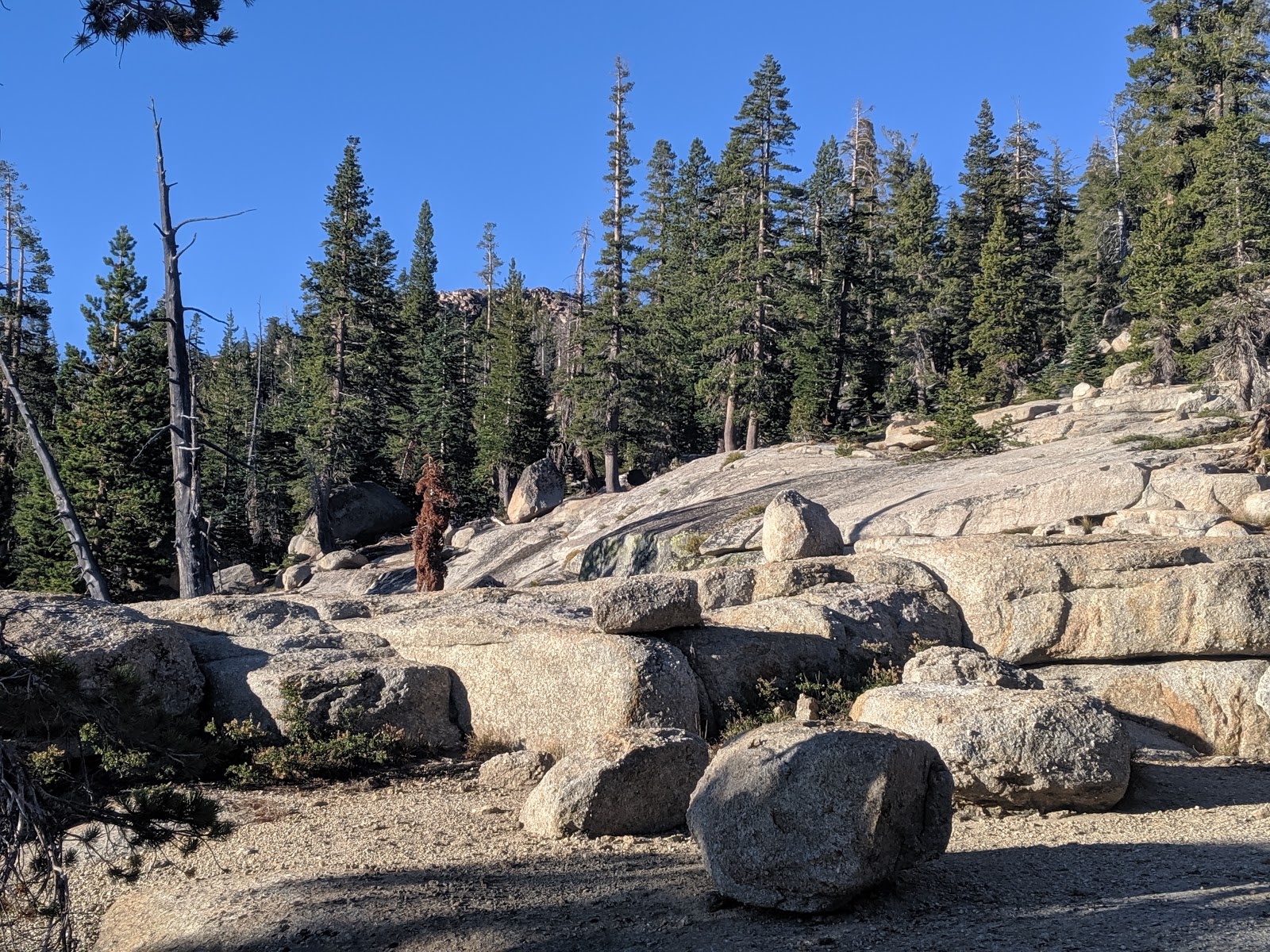
There were more switchbacks above the lake, and lots more people coming out. Where the trail stops climbing and starts contouring around the backside of the peak, I found a use trail that took me up to the summit. The top was not as open as I had thought it would be, but there were still excellent views.
Lake Tahoe, Cascade Lake, Fallen Leaf Lake.
I set up and got on the air. Still plenty of chasers to work while enjoying the excellent view.
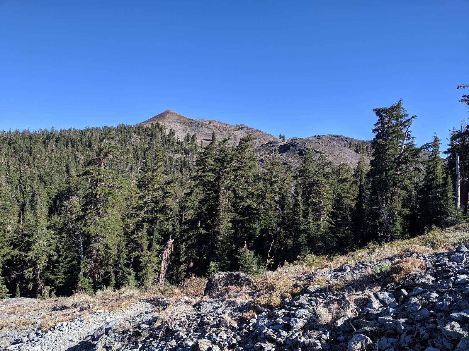
Looking into the Desolation Wilderness.
I could have spent hours on top, but I was planning to drive up to the north end of the lake to camp, so I didn't spend too long. It was a quick hike back down, and seemed steeper than on the way up. Back at the car I drove around to the base of Gold Star Peak, my first one for tomorrow.
Wilderness boundary.
Trailhead: Inspiration Point. There is trailhead parking at the back of the campground.
Website: SOTA Site.
Maps: AA6XA SOTA Hikes map.
Route: Take the trail into the wilderness, past Granite Lake. When the trail levels off, take one of the use trails up to the summit.
Red Tape: Self-issued permit required for day use of Desolation Wilderness. Fill out at trailhead kiosk.

W6/NS-397 Tahoe Mountain

After climbing the nearby Peak 7008 I drove the short distance to the trailhead for Tahoe Mountain. I started at top of Deveron Way. There seemed to be no restrictions on street parking in the summer in the area.
It appears the forest burned a few years ago.
The trail starts off with some unnecessary switchbacks, then starts climbing up the side of the ridge. There is a network of trails on the mountain, but it was obvious which way to go at all the trail junctions. I made good time up to the crest of the ridge. Spending time at high elevations does have its perks.
Looking at the lake.
On the ridge crest the trail becomes a fire road and goes by a tower. There is a small col between the main summit and the east peak, but it is not very deep. Plenty of trees for shade and antenna supports on the top. HF brought in many contacts like I expected, but not on VHF, which surprised me.
On the side of the mountain.
I took the same route back to the car, then drove down into town, where I promptly got stuck in traffic. South Lake Tahoe on a holiday weekend is not fun driving.

Trailhead: Top of Deveron Way
Website: SOTA Site.
Maps: AA6XA SOTA Hikes map.
Route: Hike up the Deveron Connector Trail, then take the first left and switchback up to the ridge. Turn left again and follow the road to the summit.
Red Tape: None.

W6/NS-248

I had an ambitious day planned, but Labor Day traffic forced me to change it. First I would get this peak and Tahoe Mountain, then drive down 50 to the Big Hill area to get some peaks there. I left my campsite near Burnside Lake early, and drove out the rough dirt road. From the pavement it was a quick drive up 89 to the trailhead for this peak at Sawmill Pond.
Start of the trail.
I didn't have a good map of the area, so I just followed roads and trails that seemed to go in the right direction. It turns out there is an OHV area on the south end of the ridge, and there are some roads that climb up to the ridge. I followed some to get up.
On top of the ridge. First views of the lake.
There is one main road that  runs most of the length of the ridge. Take this road towards the summit. The last section up to the summit requires some off trail walking, but it was easy to pick my way up. The hardest part was finding a way up to the flagpole at the summit without needing to climb any cliffs. I probably didn't take the most efficient route, but I made it.
Looking to the west.
I sat with a view of the airport, and got on the air. There was no trouble getting the contacts, and I had the peak to myself. I watched a few planes take off, probably bringing vacationers home after the holiday weekend. I took the same route back, but a bit straighter, since I knew where some of the trails went.
Looking over to Tahoe Mountain, my next peak.
Talking with Jamie N6JFD later, he told me there's a better trail that comes in from the north. If he hasn't posted it, send him a note for the beta.

Trailhead: Sawmill Pond parking area
Website: SOTA Site.
Maps: AA6XA SOTA Hikes map.
Route: Take the road up to the ridge, then along the ridge. When the road stops following the ridge, bushwhack up to the summit. There is a different route up from the north.
Red Tape: None.

Tuesday, September 24, 2019

W6/NS-065 Hawkins Peak

After hiking up a small peak south west of Burnside Lake, I headed up Hawkins Peak. There is a decent road up to near the top, but it requires clearance and low range to get up. Since my car has neither, I walked.
Looking over to Red Lake and Stevens Peaks.
The road quickly climbs out of the trees, and the views just get better as you climb. I was passed by a bunch of dirt bikes and side-by-sides. They kick up a lot of dust, so I started walking it the middle of the road to prevent this. There are some steep sandy sections of the road, but no problem on foot.
Getting closer.
I took the road around to the back side of the peak, where there is a large structure covered in solar panels. It seems to be sheltering some equipment. I had assumed there was a path to the top since there are towers up there, but I couldn't find one. So I just picked a place that didn't look too bad and went up.
On the summit.
The hike up the summit cone was steep, but not as bad as I feared it might be. I found some faint use trails, but nothing that looked official. It was pretty windy on the summit. but there were enough bushes to hold up my pole and antenna. After operating HF, I made my only VHF contact of the weekend, to a guy driving out Blue Lakes Road.
Looking back at the summit.
The hike down was pretty quick, and I passed more vehicles going up. Back at my campsite I settled in for a relaxing afternoon in the Sierra, at least I was stung the second time by a yellowjacket.

Trailhead: Forest Road 019A
Website: SOTA Site.
Maps: AA6XA SOTA Hikes map.
Route: Take the road up. Near the summit cone, find a good route to the top.
Red Tape: None.

W6/NS-125

Day three of my Labor Day Sierra SOTA trip. I had camped along Burnside Lake Road, so I was able to get an early start. The I walked along the road to forest road 205E, then took that. Regular cars could get to this point without much trouble.
Up the path.
The road is blocked to vehicles, and is of varying quality. There were parts that were wide open, an others where I had to push through the trees and brush. Eventually the road peters out, and here I turned and went straight up the hill.
Off the road.
This section had some open rock with small cliffs, but no trouble route finding. At the ridge, turn left to get to the highest peak. The summit requires a bit of class 3 scrambling to reach the top. I set up a bit below on a wide ledge. I had great views over to Hawkins Peak, where I was heading next.
Hawkins Peak
There was no problem getting the contacts I needed. I hung out for a while enjoying the sun and views before retracing my steps back to my campsite. I took a quick break there before heading up to Hawkins Peak.
View to the south.
Trailhead: Intersection of Burnside Lake Road and 205E.
Website: SOTA Site.
Maps: AA6XA SOTA Hikes map.
Route: Take the road up to where it ends, then go cross country up to the peak.
Red Tape: None.

Tuesday, September 10, 2019

W6/NS-102 The Nipple

After climbing Peak 9347, I started heading over to get The Nipple. I retraced my step along the PCT, climbing up from Lost Lakes. There is quite a drop off to the Blue Lakes from the trail, which means there are excellent views in that direction.
Looking back at one of the Lost lakes. 9347 is the peak behind them.
I wasn't sure where the best place to leave the trail was. I had seen some small cliffs on the way in, and wanted to avoid them. When I was below the col between the main summit and west summit, I saw a small use path. It appeared to be heading in the right direction, so I followed it.
The nipple at the top.
As I suspected, it took me right to the summit. There was another guy who had hiked up and was enjoying the view. I signed the register, then found an open area to setup in. It was still very breezy, but I sat on the lee side to get out of it some.
Looking over towards Markleeville (center) and Hawkins Peak.
Again, I had no trouble getting the contacts to activate the peak. It was a beautiful day, and I could have stayed up there for hours, but I was getting a bit chilly in the breeze, so I started heading down. I went straight down the side of the mountain, seeing no reason to backtrack along the use path.
Back into the trees.
I made good time down, passing a number of backpackers and day hikers who were just heading in. Always is busy in the Sierra on holiday weekends. Back at the car I headed out Blue Lake Road, then up the unpaved Burnside Lake Road to my next campsite at the foot of Hawkins Peak.

Trailhead: PCT Trailhead off of Sunset Lake Road, very close to Blue Lakes Road.
Website: SOTA Site.
Maps: AA6XA SOTA Hikes map.
Route: Take the PCT to the spot below the col between West Peak and the Nipple. Find the use trail, and follow it to the summit.
Red Tape: None.
View to the south from the PCT below the Nipple.

W6/NS-380

Day two of my Labor Day Sierra trip. After climbing Little Round Top the previous day, I spend the night along Blue Lakes Road. In the morning, I drove the rest of the way to the PCT trailhead. There is a pit toilet here, and plenty of parking. After a chilly breakfast, I hit the trail.
Morning alpenglow on The Nipple.
Since its the PCT, it takes a gentle route as it climbs up the shoulder of The Nipple. I passed a few other hikers, likely thru-hikers who were heading south. I warmed up quickly once I got up and into the sun, and had to stop to shed some layers. It was a pleasant morning.
The Nipple again.
After crossing under the peak, the trail drops down to near the Lost Lakes. There are some OHV roads here, but I didn't see any vehicles. The dam construction at Blue Lakes has probably cut down on it.
Peak 9374 rising above the forest.
I took the PCT up to a shoulder, where I turned off the trail. Picking a route through the forest was easy, and it wasn't steep. When the forest ended, the slope increased and turned into large scree. It was stable enough I didn't slide around, but I had to pay attention. I made a bit of a switchback on the way up, and was soon at the summit.
Deadwood Canyon. Round Top on the right.
There is a small windbreak there, and I sat there. I put up the antenna, a nice ultra-light one made by Adam K6ARK, and was on the air. There was no problems getting HF chasers, but no one was on VHF. After I decided I had been blown around enough, I packed up and headed back down. 
Upper Blue Lake was partially drained for construction.
I took a bit of a straighter path back to the PCT, then started hiking up to get The Nipple.

Trailhead: PCT Trailhead off of Sunset Lake Road, very close to Blue Lakes Road.
Website: SOTA Site.
Maps: AA6XA SOTA Hikes map.
Route: Take the PCT past Lost Lakes. Turn off the trail and head up hill. If you have high clearance you could drive to the col above Lost Lakes.
Red Tape: None.

W6/NS-087 Little Round Top

It was Labor Day weekend, which meant I had a 5 day weekend to spend hiking and doing SOTA. This year I decided to go to the Sierra around Carson Pass and Lake Tahoe. I left relatively early on Friday morning to drive up to Carson Pass. I parked at the lot on the north side of the road, and paid my fee. My planned route was to take the PCT to the col, then follow the ridge to the summit.
Up the PCT.
I started up, then a quarter mile later realized I had forgotten my pole. I turned around to get it, then headed up the trail for real. It seems that the secret to quicker acclimatization is to drink plenty, and I had been drinking on the ride up, so I felt good. I made good time up to the pond at the col, where I stepped off the trail.
Little Round Top is up that ridge.
After crossing the flat area I started to climb up to the ridge. A short distance up I found a use trail, so decided to follow it. The trail follows the ridge on the east side. The ridge is open, and would be easy to follow without a trail. The trail got better as it dropped to the low col along the ridge, where another trail comes up from the meadow below.
Red Lake Peak (right) and Stevens Peak (left) across the meadow.
I started to see more people around this section of the ridge. A few ladies stopped me to get a picture. The ridge flattened out before the final climb. At the top there was a large group of kids, probably part of some camp. I looked around, then went down to some trees to set up. It was nice to have the wind break and get out of the sun.
Lake Tahoe in the distance. This part of the Sierra is very pretty.
I worked everyone on the three bands I had, then packed up. The kids had left, so I was able to take a better look around on the summit. I retraced my steps back to the PCT, however I discovered that the use trail starts in the bushes on the north side of the pond. Back at the car I had a snack then drove down to Blue Lakes Road, where I would be starting my next hike.
Caples Lake, and the peaks I did with Jamie N6JFD last year: Round Top, 9795, Thimble.
Trailhead: Carson Pass Trailhead.
Website: SOTA Site.
Maps: AA6XA SOTA Hikes map.
Route: Take the PCT up to the small pond at the top of the climb. Follow the ridge up and over to the summit. There is a use trail most of the way.
Red Tape: None. Make sure you pay the day use fee!