Monday, July 19, 2021

W6/SC-323 Merriam Mountains High Point

 After activating nearby Owens Peak, I drove a few miles down the road to get this peak. The start for this hike is the end of Lawrence Welk Ct. There is a big turnaround with a gated dirt road at the end. Follow the dirt road around the side of the hill.

Trailhead.

The road goes around the side of the hill, not gaining very much elevation. When it reaches a south-facing canyon, it turns and goes up. This is the steepest part of the climb. 
Heading up.

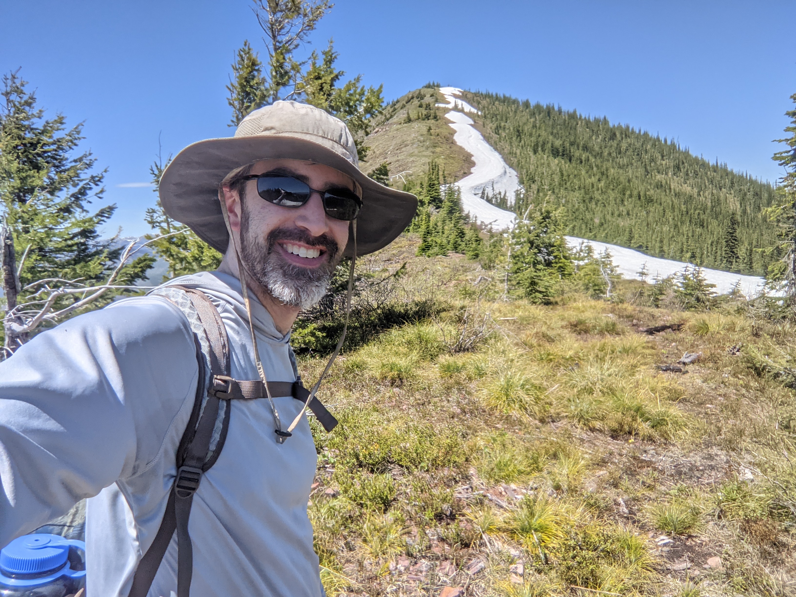
It was pretty warm, but the breeze on the ridge made it more bearable. From the ridge top, follow the dirt road over towards the summit. There are a lot of undulations on the road, and it did not look drivable. 
One of the water tanks on the ridge. 

Eventually you'll reach a maintained dirt road. Turn left here, and follow it up to near the summit. The final climb requires some more steep climbing. The highest point is a stone block. I didn't try climbing it. I set up my antenna just past it along the road. Good cell service on top. From the summit I could see a route down that looked like it might be slightly easier. I continued down the road to the north back to the main road, then cut across a different trail to the one I had taken up.
,
View across I-15.

I was getting hot and tired at this point, so after I got back to the car I just went to get dinner instead of attempting another peak. 
 

Trailhead: End of Lawrence Welk Ct.
Website: SOTA Site.
Maps: AA6XA SOTA Hikes map.
Route: Take the trail around then up the canyon to the ridge. Follow the ridge over to the summit.
Red Tape: None.

W6/SC-454 Owens Peak

 It was my last trip to San Diego for a while, so I decided to make the most of it. After landing at the airport, I headed up to the start of this peak, in a neighborhood. The trailhead is on Via Barquero, between two houses. 

Trailhead.

There seem to be a lot of trails on the mountain, but I didn't see any signs at intersections. Maybe the city of San Marcos has a map somewhere, but I didn't look for one. It was still fairly easy to find my way to the summit. Just head up the hill, then to the left until you get to the high point. 

Looking back at the trailhead neighborhood.

On top I set up on the side of the trail. There is enough brush on top that there are no views unless you are standing up. It was pretty warm, but I put on enough sunscreen so I wouldn't get burned. The cell service on top was excellent, as I expected it would be. 
Looking back at my operating position.

I wanted to do another summit or two that afternoon, so I didn't hang out on top too long. The hike back was quick, with some slippery sections in my worn out shoes. Back at the car I cranked up the AC and headed over to the trailhead for the Merriam Mountains high point.

Trailhead: Via Barquero, between two houses.
Website: SOTA Site.
Maps: AA6XA SOTA Hikes map.
Route: Take the trail up the hill to the summit. Lots of trails on the hill.
Red Tape: None.

Saturday, July 17, 2021

W6/SC-335 Cowles Mountain

 I had some time to kill in San Diego, so I decided to do a relatively easy summit. I hadn't done Cowles yet, so I headed over to the trailhead. I started at the trailhead at the corner of Navajo and Golfcrest. The parking lot was full, but there was plenty of roadside parking just past the lot. 

Trailhead.

This is obviously a very popular area. There is a bathroom and water fountain at the trailhead, and lots of signs warning hikers to bring water and be prepared. As I headed up the trail I could see it was wide and well worn. Since it was Sunday evening, there weren't too many people out, but it was still pretty busy.
Cowles on the left.

The trails are well worn and marked, and it was easy to find my way up to the top. As you climb, the views of San Diego county get better. I could also see why there were so many warning signs at the base. Even in the evening it was pretty warm hiking up, with no shade.
Getting closer.

There were a bunch of people hanging out at the summit, so I didn't try to setup there. Instead I went over towards the towers just below the peak. I didn't want to get too close, so I set up along the access road, stringing my antenna along the side of the road. I wasn't expecting any trucks to come up.
Summit towers.

It was just after Field Day, so I wasn't expecting a big pileup. Since it was just before the UTC day rollover, I thought I might get a bunch of chasers twice, but the only person to call me on the first day was John ZL1BYZ. Eventually I got people on all the bands I had. I put away the antenna, then called on VHF, where there were some more locals.
Slopes at golden hour.

By this point it was getting late, and I was getting hungry. So I packed up and headed down to find a restaurant for dinner. Even as I went down there were still people going up to the summit. A popular area indeed.

Trailhead: Corner of Navajo and Golfcrest. There is a small lot, and plenty of street parking.
Website: SOTA Site.
Maps: AA6XA SOTA Hikes map.
Route: Take the trail up the hill to the summit. Lots of trails on the hill.
Red Tape: None.

Tuesday, July 13, 2021

W6/SC-453 Twin Peaks

 This was the third and final summit of the day, after Peak 1190. The trailhead for this peak is at a community park, at the corner of Silverset and Shadowline. I parked on the road under a tree to try and keep my car cool. Not sure it helped much.

Start of the trail, with the summit in sight.

There are a lot of trails, both official and unofficial, and my map wasn't very good, so I just made my best guess and headed up the hill. It seems my choices to go up towards the summit were correct, since I got there after some hiking, without needing to do any backtracking or bushwhacking.
View on the way up.

There isn't a lot of room to string out an antenna on the summit, so I was glad I was the only one up there. I did manage to find enough room, and was soon on the air. As you'd expect, there is plenty of cell service on top. After working all the HF chasers, I tried VHF. I was able to get K6ARK through Woodson Mtn. 2m has strange propagation sometimes.
Rock at the summit, much like the one I sat at.

One of the locals warned me to be careful going down, there's a lot of places to make a wrong turn. Despite this warning and following my watch, I still managed to get off route briefly. That area could use some maintenance to stop the non-trails.

Trailhead: Silverset Neighborhood Park, corner of Silverset Street.
Website: SOTA Site.
Maps: AA6XA SOTA Hikes map.
Route: Take the trail up the hill to the summit. Lots of trails on the hill.
Red Tape: None.

W6/SC-456

 After activating Denk Mountain, I drove around to get this unnamed peak. I had planned to come a few weeks earlier, but some rental car troubles changed my plans. But now I was back and ready to rock.

Near the start of the trail.

The trailhead is on Ipai Court, near the bottom. The first half of the trail is a fire road, following some high voltage power lines. This section goes up and down a bunch, at times quite steeply. At the south end of the ridge, the trail makes a u-turn and starts going up.
Near the summit.

The final section is normal trail, but isn't steep. At the top is a flag and some decent views. I set up on a rock and strung out my antenna. Again, good service up here. 
San Diego suburbs.
 
I took the same trail back down. My sneakers were worn out, and that made some of the steep bits more "fun". But I made it back without slipping too much.

Trailhead: Ipai Court, near the bottom.
Website: SOTA Site.
Maps: AA6XA SOTA Hikes map.
Route: Take the trail under the power lines. At the south end, make a U-turn and head up to the summit.
Red Tape: None.

W6/SC-368 Denk Mountain

 Another trip through San Diego meant more time to get some summits. I had a big, three-summit day planned this time. First up was Denk Mountain.

Start of the trail, a wide fire road.

I parked near the intersection of Fallsview Rd and Dove Tail Dr, under a tree. Around the corner was a park with the trail heading up from there. I took the left junction, which started uphill pretty quickly. After a short distance the road ended and it became a steep single track trail.
Happy on the summit.

At the top of the single track is a water tank. Turn left here, and follow one of the roads or trails up to the summit. I would advise against taking the switchbacks, they are horribly flat and long. Maybe good for bikes, but not hikers. The top wasn't busy, and I set up at the table under the shelter. I was able to keep my antenna wire high enough that I didn't have to worry about people getting tangled in it.
MTR in action.

There is excellent service, and spotting was not a problem. I didn't linger, since I had two other summits I wanted to get that day. I went down the same way, but avoided the terrible switchbacks. It was a pleasant and easy hike, and nice operating at the summit.

Trailhead: On Google Maps, its called "Mahogany Park", on Dove Tail Dr between Burbury and Fallsview.
Website: SOTA Site.
Maps: AA6XA SOTA Hikes map.
Route: Take the left trail up the hill to the water tank. Turn left and take one of the trails up to the summit.
Red Tape: None.

Monday, July 12, 2021

W7M/FN-248 Scalplock Mountain

 It was forecast to be a hot day, and the weatherman was right. It was hot. But that didn't stop us from doing some hiking in the national park. Today's goal was Scalplock Mountain, another peak with a fire lookout on top. 

Small suspension bridge near the start.

The trailhead is the Walton Ranger Station, just before the highway crosses the Flathead River. There are some picnic tables here, but parking seemed pretty limited. Lucky for us, there were still spots available. Probably not too many people crazy enough to hike in this weather.
Starting up the hill.

The first part of the hike is relatively flat, making its way to the base of the mountain. Then the climb starts. It is an unrelenting 3000' climb up to the lookout. I think we were both a little tired from the previous day, so we took our time going up. The heat didn't help either.
Indian Paintbrush.

Eventually we got to the ridge, where the views opened up, but the shade went away. I was glad to see some snow fields so I could try and cool off a little. The final climb up to the tower seemed harder in the sun, but we both made it.
Almost at the summit.

On top I drank a lot of water. I was thirsty. I then set up my antenna so I could sit in a shady area. I did not have cell service, but my sister had some marginal service on top. Your results may vary. RBNHole did spot me, so everything worked out. 
Middle Fork Flathead River and US 2. And the trailhead.

After I got my contacts we just went down. It was too hot to really enjoy the view from the top. The walk down was long, and we were both glad to make it back to the air conditioned car. On the way back to the campsite, we stopped to get ice cream. It was needed.
Outhouses on the Air?

Trailhead: Huckleberry Lookout Trailhead
Website: SOTA Site.
Maps: AA6XA SOTA Hikes map.
Route: Take the trail up to the summit.
Red Tape: None. 

W7M/FN-181 Peak above Huckleberry Lookout

 It was a warm day, but that didn't stop us from heading to the west side of Glacier to do some hiking and sightseeing. Going to the Sun Road was still closed, so we had to go the long way around. We reached the marked trailhead for Huckleberry Lookout a bit later than I would have liked, but the trail looked shady so I wasn't too worried. 

An official NPS trailhead.

The first part of the trail is flat, as it follows McGee Creek to the base of the climb. But once it starts going up it doesn't stop. 
Pleasant flat hiking near the cars.

The trail is well graded for its climb up, likely because it was used by pack animals when the lookout was actively staffed. It was pretty warm, but the was enough shade and breeze to make it bearable. And as we climbed higher, the views got better and better.
The trail goes up a canyon to the ridge.

At about 6100 feet the trail stops climbing and turns right, and begins to sidehill below the ridge. From this area I was able to see the summit, and the ridge leading up to it.
The Apgar Mountains.

My orginal plan had been to take the northeast ridge up to the summit, but from the vantage point I could see that the southeast ridge looked better, just as gentle and free from trees and brush. There was a line of snow, but it didn't look wide. 
The summit from below.

I took the trail around until I was more or less below the col, then stepped off. The short climb up to the ridge was very steep, but the brush wasn't very dense and it wasn't too hard. 
The steep off trail section.

Despite its short length, this climb was the hardest part of the hike. Up on the ridge, it was a pleasant walk up to the summit. On top I used one of the trees to hold my antenna pole and got on the air.
Almost at the top!

I was surprised to have service on the summit. It wasn't the best, but it was enough to get out spots and texts. I even managed to get a bunch of summit to summit contacts, so everyone else must have been out that day.
Antenna on the summit.

It was a beautiful day, and I didn't want to leave the ridge. However, my sister had skipped this summit and headed straight to the lookout. Not wanting to backtrack, I followed the ridge down towards the lookout. It seemed steep in places, but nothing bad. Near the trail, I saw some indications of an old trail or a use trail.
Looking down at the North Fork of the Flathead River.

It was a quick climb up the trail to the lookout. This was another great view, and worth the trip over. We could have sat up there for a long time, but it was getting late.
Huckleberry Lookout.

We took the trail all the way back to the car. There were some snowfields on the north-facing slopes, but nothing hard. It was warm enough that the snow was quite soft.
The high peaks of Glacier. Next time....

Back at the car we decided it was dinner time, and so we headed into town to find some food. We then went back into the park to see Avalanche Lake, then watch the sunset over Lake McDonald. It was a long, but very good day.

Trailhead: Huckleberry Lookout Trailhead
Website: SOTA Site.
Maps: AA6XA SOTA Hikes map.
Route: Take the trail up to the ridge. Either scramble up to the ridge and follow the southeast ridge to the summit, or take the trail around to the col and take the northwest ridge up.
Red Tape: None. The short way in may require a Going to the Sun Road permit, but you can drive around to the north to avoid that.

W7M/GR-166 Lubec Ridge

 I was visiting Glacier National Park with my sister, and the forecast was for some not so great weather in the park, especially up high. To avoid this, we decided to do some hiking in the National Forest just south of the park. A ranger had recommended Buffalo Lakes, so we decided to go there, then head up to this summit.

Gate at the trailhead.

The trailhead is not marked, it is just a pullout with space for about four cars on the south side of US 2, a few miles past the Reservation border. There is a gate to stop cattle, then the trail. The trail up to Buffalo Lakes is pretty well worn, and was easy to follow. The first part of the trail is parallel to the highway, but after a quarter mile or so it turns and follows a ridge towards the lakes.
Climbing up to the lakes. Glad I wasn't doing a high peak!

We did make a wrong turn a little below the lakes, but quickly realized it wasn't the trail when we started having to fight through the brush. In one of the meadows on the way up we saw a bear. We made some noise, and it ran off, but scary for a moment.
The Buffalo Lakes. Very pretty.

At the lakes we followed the shore around the south side. There was no obvious use trail, so we just picked a point to head through the dense brush surrounding the lakes and into the forest. The brush band was not wide, thankfully, and we were soon heading up through a nice open forest. We quickly gained the ridge, and the views really opened up, along with the wind.
Flowers holding on near the summit.

It was quite windy on top. We tagged the summit, took some pics, then retreated down the hill a bit to get out of the wind. I set up near the bottom of the activation zone, at the edge of some trees. This provided enough of a wind break to make operating mostly pleasant.
Always nice to have a view while operating.

I was surprised to have good cell service on top, so I took advantage of it to spot. I got contacts on all the bands I had, 20, 30, and 40, but not very many on each. After about 20 minutes, the wind was getting us both cold, so I packed up and we retreated down the hill. 
Buffalo Lakes would be a nice place to camp.

We mostly followed our track down, and quickly warmed up once we got back into the forest. We didn't see our bear friend on the way down, but I was ok with that. Overall, this is a relatively easy summit, and I'm surprised I was the first to activate it.

Trailhead: Unmarked parking area, US 2, a few miles west of the reservation boundary.
Website: SOTA Site.
Maps: AA6XA SOTA Hikes map.
Route: Take the trail up to Buffalo Lakes. At the southeast end of the lakes, take the ridge up to the summit.
Red Tape: None. The hike is in Lewis and Clark NF.