Tuesday, November 17, 2020

Rose Hill

 Black Diamond Mines Park preserves some ghost towns from when the area was the biggest coal mining area in California. In non-Covid times, you can go on tours of the mines and such, but since everything was closed, I just went for a run. 

Overcast views.

It was overcast and chilly when the gate finally was opened and I parked in the main lot. There were a lot of people unloading bikes, and I saw lots of mountain bikers while out. I started up the hill to the east, beginning a big loop around the park.

On one ridge. 

Despite all the people I saw in the parking lots, the trails were fairly empty once you got away from the roads. It had been a few years since I had been to the park, and it was much nicer than I remember. Gorgeous open ridges with great views in all directions. Just awesome.
Imagine the spring, with green grass and wildflowers.

My first destination was Peak 919, a P300 peak in the park. 
No longer overcast!

On the way I passed by the group campsite, then Star Mine. The entrance is gated shut, but you can look down the entry shaft. I can't imagine walking down it every day for work. 
Star Mine entrance.

After going by Star mine, I started climbing up towards the top of 919. This is also the first section that was in the trees. The high point is a little distance off the trail, but it isn't a hard bushwhack. 
Back down in the valley. A very nice valley.

The top is rocky, and you can just about get above the bushes for a view. I decided to go down the west face of the hill, since that was the direction I wanted to go eventually. This was a mistake. It was super steep, and there were some short class 3 moves to get down. I would just backtrack to the trail next time.
Oak hills of the east bay.

Back on the trail I continued into a wide, gentle valley. This is one of the prettiest areas of the park, I think. On the north side there is a sign pointing out the tailings from one of the old mines. I took the trail that goes up and over the tailing pile, then climbed the rest of the way up to the ridge.
The tailings of one of the coal mines.

It was fun to be able to hike up the hill faster than the mountain bikers. Normally runners can't keep up. Up on the ridge I wound my way around to the pass above Nortonville. Here I crossed the trail, and took the use trail up the steep slope to the top of Rose Hill.
Nortonville cemetery.

The views from Rose Hill were superb. It is the highest point in the park, and it feels like you can see everything. As I was enjoying the hill, I heard some rustling in the grass. When I looked over, I saw a cat head pop up. This scared me, since I didn't know what kind of cat it was. We looked at each other, than the cat turned and walked away. I could see the small tail and knew then it was a bobcat. I might not be here writing if it had been a mountain lion.
Mount Diablo and North Peak.

After my cat encounter I decided not to hang around, and headed down the other side of the peak, back to the trail. I passed some cows, then made my way back to the car. It had been an excellent outing, and I would recommend the park to anyone, just not in the summer. 

Monday, November 16, 2020

Round Top

 It turns out there's an old volcano in the bay area, and its in a park. Sibley Volcanic Regional Park is just south of highway 24 at the crest of the Oakland Hills. The parking lot isn't super big, but it seems there is plenty of street parking.

Heading up.

Getting to the summit is pretty easy. You can either walk up the access road, or take a trail up about half way, then the road the rest. We opted for the trail approach. It was a gorgeous day, and really nice to be walking in the woods.
Not really any views on the summit.

The road is paved, an not too steep. Its an easy walk up to the top. The summit is covered in towers and surrounded by trees, so not very good views. After walking around a little on top, we headed back down to do a loop through more of the park. There are interpretative signs near interesting rocks explaining how the geology works.
Through some small hills. Felt like I was in a Western.

The views were excellent, but highway 24 was a constant sonic reminder that we weren't in the wilderness. We went around, then dropped into the canyon. The climb out was pleasant. We had hoped to have a picnic at the trailhead, but all the tables were closed. So we sat on the ground for lunch instead, and watched the horses come, then go.
Heading back up to the trailhead.


Thursday, November 12, 2020

Redwood Peak

 Redwood Regional Park is a park in Oakland that I had never been to before. The high point, Redwood Peak, is on the Nifty Ninety list, so I knew I'd go eventually. I decided to do a long run through the park and over the summit.

Serpentine prairie at the start.

I started at the Trudeau Center on Skyline Blvd. The interpretative signs here indicate the area is probably what the Bay Area looked like before Europeans arrived with their non-native plants. I took a long route through the park to the summit. 
Some of the redwoods.

It was pretty chilly in the canyons and warm on the ridges. I think there was a thermal inversion. The big canyon along Redwood Creek was quite cool. The park was much nicer than I was expecting. I thought it would be similar to Tilden, but it was much more forested and felt more wild. 
Round Top through the trees. Tomorrow's destination.

Eventually I wound my way around and up to the summit. The high point is above an archery range, but the fence is well signed to keep you out of the firing area. The summit was rocky, with lots of graffiti scratched into the rocks. Such a pity that people feel the need to do that. 
Redwood Peak summit.

On the way down there was an excellent viewpoint. A bit hazy, but a nice view.
Bay area hills.


Tuesday, November 10, 2020

Russell Peak, Briones Peak, Mott Peak

 Briones is one of my favorite parks in the area, and it is also home to three peaks on the nifty ninety list. I decided to do them in a big loop one morning.

Sunny views at the start.

I started at the Bear Creek area, and headed up the trail towards Russell Peak. It was nice and sunny when I left the car, but it quickly got cloudy and overcast. It was pretty cool up on the ridge, with the wind blowing in the cloud.
Starting to get overcast.

There was no view from Russell, and I doubt there is one even in the sun. There is a picnic table however, and it would make a nice place for a lunch.
Russell Peak summit.

I took a somewhat roundabout route from Russell over to Briones, dropping off the ridge then climbing back up. There were quite a few people near the entrance I went down to, and a surprising number of them seemed to have no idea where they were or where the trail was going. I was asked by multiple people for directions.
Somewhere near Briones Peak.

I got to Briones Peak just after 10, and set up the radio. I was hoping to make some contacts to Europe, but I think I got there a little too late. Next time. After making some contacts, I packed up. It was much colder than I was expecting in the fog.
Mott Peak.

Mott Peak is an easy walk along the ridge from Briones. There is no trail to the summit, but it is easy to walk up the hill from the trail to get there.
Heading back to the car.

After tagging Mott I made my way back down to the car. In the end I had done just over 13.1 miles, a nice half marathon to start the weekend.


Mt Wanda

 Mt Wanda is a small mountain in Martinez, part of the John Muir historic site. The hike up is easy, and there are some decent views from the top.

Trailhead.

The parking area is just off of Highway 4, and there is a big sign there. The lot was almost full on a Friday morning when we got there, but there was still a spot. Seems like a place the locals use for daily walks.
Up a small canyon.

There are a few trails in the area, and we took most of them in a loop. The high point of Mt Wanda is just off the trail. A short distance away, a trail leads to the top of Mt Helen. The two peaks are named after John Muir's two daughters. He would take them up to these hills to camp and hike when they were kids.
Mt Wanda Summit.

Back at the car, we drove to the John Muir house to walk around. It was pretty interesting, and I'd definitely recommend going in if you're there. The displays at the site had Wanda and Helen backwards from what all the maps say. I asked a ranger, and he said no one is really sure which one Muir meant when he named them.
Fire!

As we were getting ready to leave, we saw smoke across the street on a different hill. Turns out a fire had started in a homeless encampment. Found out later the firefighters contained it at less than an acre.

Monday, November 9, 2020

Mt Olympia

It was the weekend before a Sierra trip, so I decided to do a run that had some elevation to prepare. I picked a loop on Mt Diablo, over Eagle Peak, North Peak, and Mt Olympia. I got to Mitchell Canyon parking around opening time, and headed up.
Shaded forest near the start.

There is a lot of vertical to get up to the summit. There's a lot to get up to Eagle Peak, which is only halfway. 
Starting to get some views.

I made good time up, stopping for some pictures on the way. It wasn't too busy yet.
North Peak from near Eagle Peak.

As I climbed higher, the wind picked up quite a bit. It was quite chilly and breezy on the summit. I had brought my radio, but didn't feel like setting up HF in the cold and wind, so I just used my HT. The band pass filter worked its magic and I could hear all the chasers.
Looking over at the main summit.

I wasn't prepared for the cold wind, so I didn't spend too long on the summit. I warmed up once I got out of the wind and started moving again. The trail down to Olympia was pretty steep in places.
Mt Olympia summit, just ahead.

The summit of Mt Olympia is underwhelming. It isn't really a peak, just the high point at the end of a ridge off of North Peak. I took some pictures at the high point, then continued on the long long descent back to Mitchell Canyon. 
Open forest in the sun.


Thursday, November 5, 2020

W6/NS-113 Peak 9115

 It was the last day in the Sierra, and still time for one more peak. After a leisurely morning packing up camp, we drove back to my car at the end of the road. I then drove to the Woodchuck Basin trailhead to get this peak. I decided it would be easier not to go straight up like some others on Peakbagger had done.

Part of the cliff bands.

I headed up the trail to get around the cliff bands that surround much of the ridge. After about a mile I left the trail in a break in the cliffs to climb up to the ridge. This is also about where the cliff band ends. A more adventurous person could probably make a shorter hike than I did.
Almost on the ridge crest.

It was steep, but a short climb. The top of the ridge was magnificent. It was super clear, and just an awesome day to be out. On the ridge it was an easy walk around to the summit area.
The rocky summit of 9115.

The last bit is exposed rock. From a distance it looks difficult, but it is not hard to find easy ways over or around the rocks. To get to the top of the summit block requires a short, easy class 3 move. Compared to the rock on Airola the previous day, this seemed like solid granite.
Summit just ahead.

On the summit I took out my HT and made a few contacts on VHF. I figured it would be better there than down below where there was space to set up my antenna. I made a few contacts, then descended to a reasonably flat area.
On the air, just below the summit.

I thought 20m would be good, since I had made a bunch of contacts to Europe that morning, but I only got one contact. 30 and 40 were in good shape however and I made a bunch of contacts. 
Looking down into the wilderness.

It was such a nice day, I didn't want to get off the ridge, so I took a long way back to the car. I stay on the ridge until it met the trail that would take me back down. I was tempted to go all the way to Mt Reba, but decided that going that far would be a bit ambitious. The hike down the trail was quick and I was soon back at the car.
Lake Alpine, I believe.

Lucky for me, the traffic back to the bay area wasn't bad, and I made it home in time for dinner.

Trailhead: Woodchuck Basin Parking.
Website: SOTA Site.
Maps: AA6XA SOTA Hikes map.
Route: Follow the trail to past the cliffs, then hike up to the ridge. Follow the ridge around to the summit.
Red Tape: None.

Wednesday, November 4, 2020

W6/NS-070 Airola Peak

From the col between Hiram and Airola, we picked our way through the trees to the base of the climb. There were a fair number of footprints in the dirt, so this route must be more popular than it seems. The first section of the climb in the forest is steep, but not difficult.

The peak from Hiram. It is a nice looking mountain.

As the forest ends, however, the slope goes up. The first section of scree was steep, especially for those who forgot to bring poles. There was a short grassy section, then more steep scree.
Looking back down at the first steep section.

As we climbed we kept looking at the class three section at the top of the scree slope, wondering if it would be passable. It was hard to tell from so far away, so we kept going closer.
Getting closer to the crux.

Eventually we got close enough and high enough we decided it would be safer to climb up rather than go down. 
Looking down.

Thankfully the climbs were short, but the rock was incredibly loose. I had to reach for hand holds multiple times to knock out loose rock before putting weight on it. Luckily Rex had a helmet and agreed to go second. I am not a climber, and the crux section was uncomfortable, but I did it. It was a great feeling to walk up to the top of 9545.
Last walk to the summit.

The final ridge to the summit is a straightforward walk. The summit is rather narrow, but not scary. There was enough room to stretch out our antenna along the summit. Neither of us had cell service, so we relied on RBNHole to spot us. It worked well, and we got plenty of contacts.
Knife edge right before the summit.

We had a long hike back. Going back down the same way would have been unpleasant and dangerous, so we took the usual route back to 9545 then down the ridge to the left. The ridge gets steeper as it goes, but the talus wasn't too bad. There are cliffs that block a more direct route back to the trail in the valley, forcing you to take a longer route. 
Some interesting rocks on the way down.

There were some use trails and lots of evidence of camping in the valley. It is probably a popular area in the summer for backpacking. 
Tree clinging to the steep talus slope.

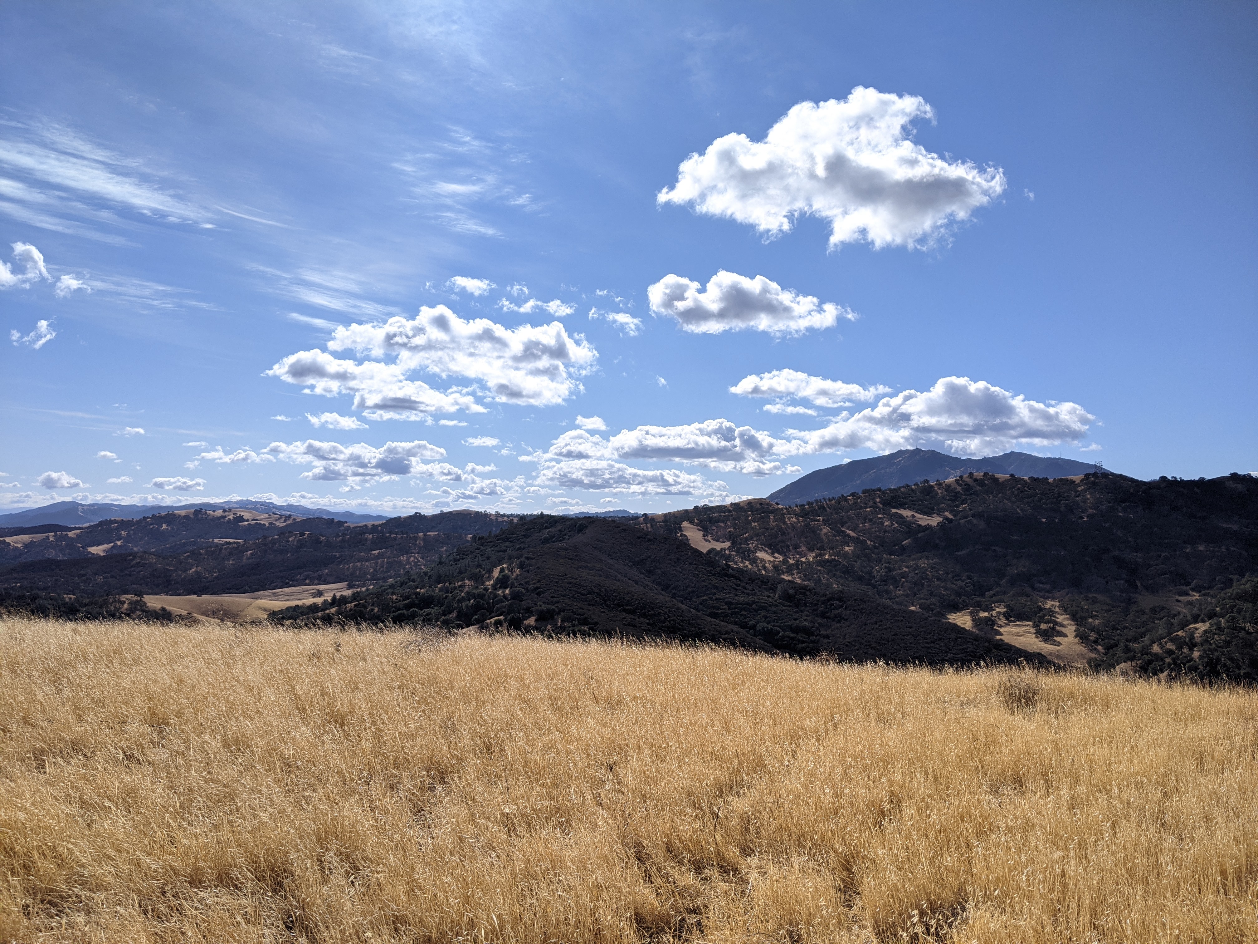
It was a bit of a slog hiking back up to the Highland Lakes, but we did it. The afternoon sun made for some pretty scenes behind us once we got above the trees. 
Climbing up to the trailhead.

Back at the campsite we quickly put on our warm clothes before the sun's warmth totally disappeared, then started looking for dinner. Overall, a great day in the mountains.

Trailhead: Highland Lakes Campground.
Website: SOTA Site.
Maps: AA6XA SOTA Hikes map.
Route: From the Hiram-Airola col, go up the scree slopes along the ridge. There is a loose class 3 section just below Peak 9545. From the sub-peak, follow the ridge to the summit.
Red Tape: None.