I had some free time from work, so naturally I decided to go get a SOTA peak. The peaks above Boise looked like they were still snow covered, so I headed east a bit to some lower hills. I was not prepared for snow. I parked at an unmarked dirt road at the base of the peak.
 |
| Dirt road near the start. |
The road looked pretty rough, so I didn't try driving it in the sedan I had. Just up the hill is an unlocked gate. After going through I followed the road for a short distance. After about a half mile I saw a line up the hill that looked good, so I stepped off. My route to the top was more or less west from the road.
 |
| Excellent views from the climb up. |
I found some places that didn't have a lot of brush. This was nice since I was wearing shorts and my legs were getting a bit cut up. I definitely took a steeper route to the summit, but it wasn't so bad going up.
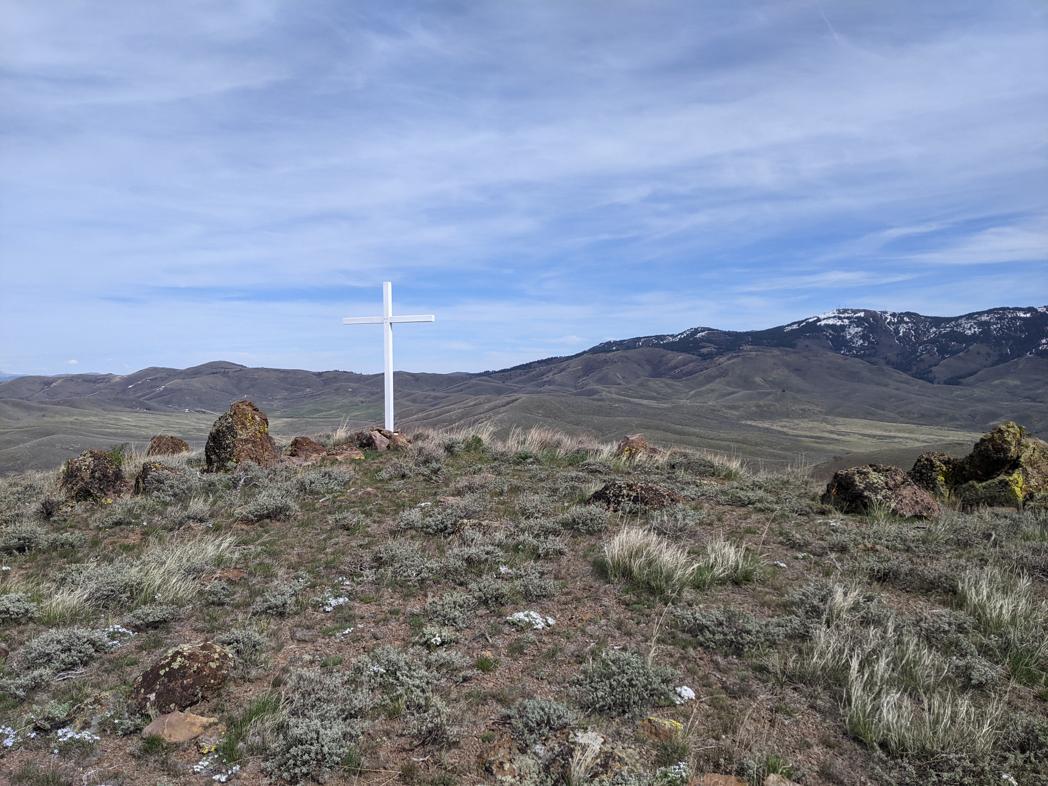 |
| Summit cross. |
 |
| Peak from the dirt road. |
Trailhead: US 20, dirt road south-east of the peak
Website: SOTA Site.
Maps: AA6XA SOTA Hikes map.
Route: Follow the road up the hill. When you see a good spot, head up the hill to the summit.
Red Tape: None. Peak appears to be on BLM land.
Website: SOTA Site.
Maps: AA6XA SOTA Hikes map.
Route: Follow the road up the hill. When you see a good spot, head up the hill to the summit.
Red Tape: None. Peak appears to be on BLM land.