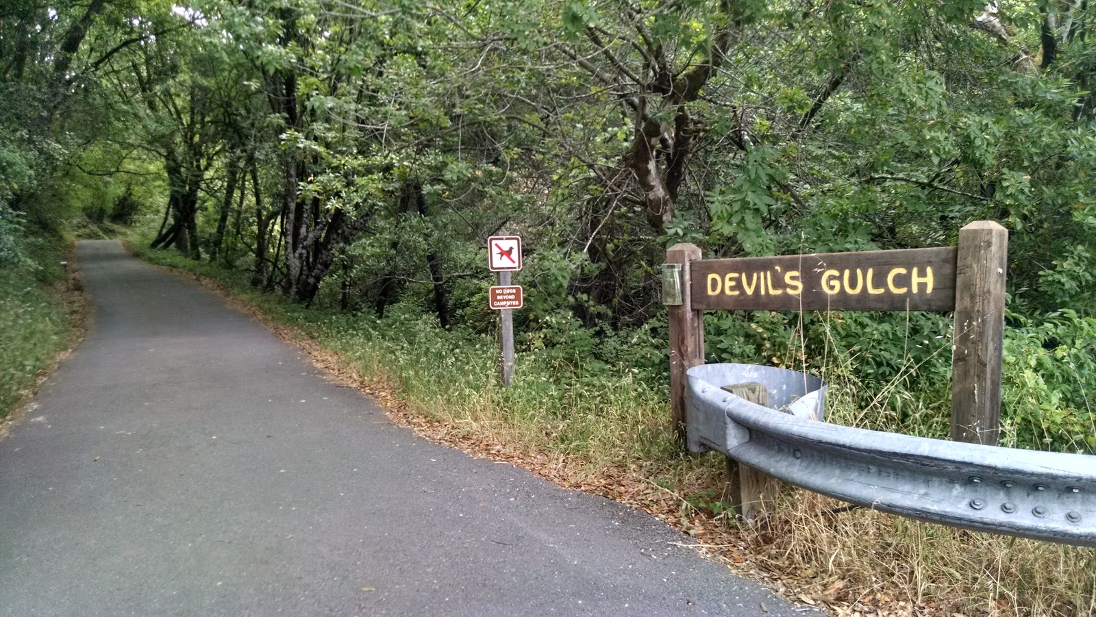
The trailhead for Barnabe Mountain is a pullout across the street from Devils Gulch, in Samuel Taylor State Park. This park is near the west end of Francis Drake Blvd. I parked here, then crossed the street and headed up the paved trail.
 |
| Start of the hike. |
A short distance up, a path leaves on the right side. Take this trail to the bridge, and cross over the creek. The Bill's Trail was closed for reconstruction and repair, so I had to go right and take Gravestone Road trail to the Barnabe Road trail. Gravestone Road climbs through the forest to its intersection with Barnabe Road. Here the trail leaves the woods and climbs through open grassland. It was still overcast as I made my way up, and there was a pleasant breeze to keep things cool.
 |
| Summit, still in the clouds. |
About halfway up you get the first glimpses of the summit. I was nearly to the top when the sun came out for good, and there were excellent views of Marin County from the summit. There is a fire tower and a number of communication towers on top, but none interfered with my radio. The highest point is on the other side of a fence that is clearly marked no trespassing, so I followed the public side to a flat area. I lashed my pole to the fence and set up the doublet. It was about 30 minutes before field day started, so I send a spot out and got on the bands. There were plenty of chasers, and I was able to work a S2S in Utah.
 |
| The southern end of Tomales Bay. |
I enjoyed the view to the west, looking at Mt Tam and Tomales Bay. When 11:00 rolled around the bands got very busy, and as a low power SOTA station I had trouble competing with the noise from the contesters, so I packed up and headed down the way I came, and drove over to climb
Loma Alta.
 |
| Salmon themed bridge. |
Trailhead: Devils Gulch, Samuel Taylor SP.
Website: SOTA Site.
Maps: Park Map. KB1KXL SOTA Hikes map.
Route: Devils Gulch Road to Gravestone Road to Barnabe Road.
Red Tape: None.


No comments:
Post a Comment