I was finally back in New Hampshire for the holidays with family, and one day I had access to the car, so I decided to go do some summits. My plan for the day was Osgood Hill and nearby Dakin Hill.
 |
| Start of the trail. Parking area to the left. |
There is a small parking area along Old Stoddard Road. Google marks this point as Kulish Ledges Trail. The road is unpaved, but the sedan made it up. The parking lot was unplowed, and I was a bit worried about getting out if I went in, but it turned out not to be a problem. There's a hornet on a tree marking the parking area and trail.
 |
| On the well marked trail. |
The trail is flat and easy to follow past a pond to the first junction. I took the left trail here. The first half of the climb is a nice grade, pretty easy walking. The second half is steeper. The trail conditions were good, I didn't need any traction. Near the top of the climb are the Kulish Ledges. There are a few with decent views, and they're the only views on this hike.
 |
| Best of the ledge views. |
On the summit plateau there is another junction. Follow the sign to the summit. At the summit there is another sign and a bench. The summit area was fairly open, and it was easy to put up and antenna and still sit on the bench.
 |
| At the summit! |
I set up the radio and got on the air. I had good cell coverage on the summit, and the European stations soon started rolling in. It's always fun getting DX while you're QRP. After about 30 minutes operating I started to get cold, so I packed up and retraced my steps down. The sun had come out, and it was turning into an even nicer day.
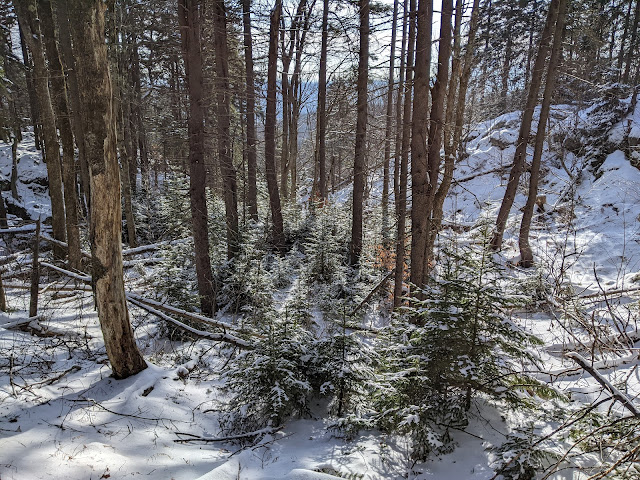 |
| Snowy woods. |
Back at the car it was no problem getting out and back down to the paved roads, where I drove over to the trailhead for Dakin Hill.
Website: SOTA Site.
Maps: AA6XA SOTA Hikes map. Partridge Woods - This site seems out of date, but I can't find any others.
Route: Take the Kulish Ledge Trail to the summit. There are some other trails to make a loop, if desired.
Red Tape: None. Dogs are allowed.
Video: ham_bitious on Youtube
Glad you liked our trail! (It was made by the Nelson Trails Committee). That's actually not a hornet, but a black fly. Either way, I guess it's a sign to beware. Seen plenty of black flies up there. Not sure I've ever seen a hornet out there, but we have had some yellow jacket nests appear on the trail a few times.
ReplyDeleteThe parking area you started at is now closed, but that trailhead is still open. There is a new trailhead about 1/2 mile up the road.
I guess I picked a good time of the year to visit, no bugs at all! Good to know about the new parking area too.
DeleteThe parking lot that is now closed was on private land. The owner lives nearby and is a member of the trails committee, but neighbors were getting upset with all the cars on the road (pandemic, people doing more hiking, and driving in separate cars to avoid covid). The new lot is on public land (owned by the town of Nelson) and is bigger, so hopefully it will work out. Yes, this is the best time of year to be outside. Hoping for cold weather this week so friends' birthday party next weekend can have an ice carousel on Tolman Pond.
ReplyDelete