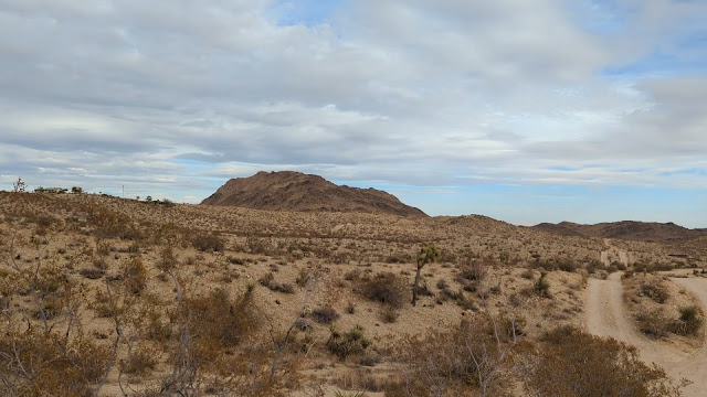
We had driven down to Joshua Tree for a few days in the area. There was some time before we had to head into the park to catch the sunset, so I decided to go for a quick activation. This peak was only a few minutes away from the hotel and was a short hike.
 |
Looking over at the summit.
|
I drove up Yucca Mesa Road, then turned east onto Sun Mesa Drive. I was hoping to be able to drive to the end, but there was a sign indicating the road was private past Alta Ave. So I turned around and parked near that intersection. The shortest way to the top would be up Sun Mesa, but I didn't want to go up that road. So I headed one block south to Sun Oro Road and went down that way. The road goes past a few houses, then ends at a turn-around. It looks like the area is popular, since there was trash and a fire pit at the end.
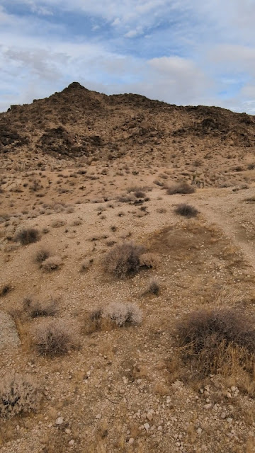 |
Its pointy-er from this direction
|
There isn't a trail from the end of the road, but it was easy to find my way up to the top of the ridge in front of me. On the crest of this ridge is a jeep trail, which heads towards the now visible summit. After a short distance it turns into single track, then starts getting harder to follow. On the way up I lost the trail for a while, but came across it again after a short time.
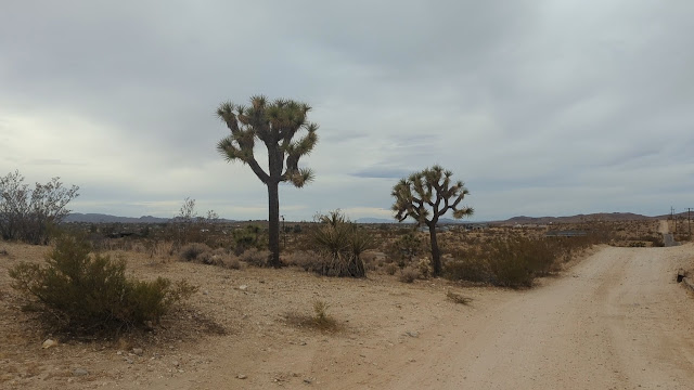 |
Joshua trees along the road.
|
There are some switchbacks on the way up, and before you know it, you're at the summit. The highest point is on the far side of the ridge, so I went over there to set up. I wanted a quick activation, so I just used the KH1 and whip. Sadly, there was loud noise on all the bands I checked. I'm not sure where it was coming from, since there isn't anything on the summit. Maybe a nearby solar array or something. Either way, I was able to make my four contacts.
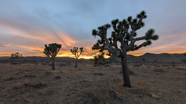 |
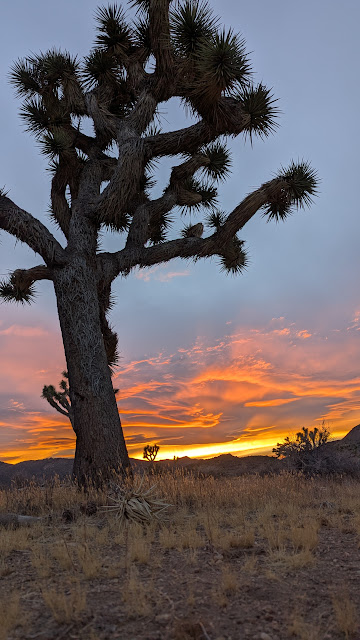
Desert sunsets are the best.
|
Heading down I was able to follow the trail better back to the jeep road. Back on the road it was a quick walk back to the car and to the hotel. I picked up my wife, and we found a nice spot inside the park to watch the sun set. Joshua Tree is a great place for sunsets.
 |
Such a beautiful park.
|
Trailhead: Intersection of Sun Mesa Dr and Alta Ave.
Route: Follow Sun Oro Rd to the end, then cross country to the trail that leads to the summit.
Red Tape: None. Watch out for road closed signs.


