I decided to take some time over the July 4th weekend to go to the Sierra to get some more peaks. I decided on the Emigrant Wilderness, since there were a number of unactivated peaks there just waiting to be done. I started at the Kennedy Meadows trailhead. The hiker parking is about a half mile from the pack station and store, but I didn't want to pay to park closer.
 |
| Gorge near the start of the trail. |
I hiked up the road, then the gorge, then past Relief Reservoir, and up to Lunch Meadow, where I found a nice camping spot and spent the night. After breakfast the next morning I began to climb up to Black Hawk Mountain. Like most Sierra peaks, there is no trail up on the ridges or over summits, so I had to pick my way up.
 |
| Heading up. |
There were lots of small cliffs that I had to find my way around, but nothing that was impossible. There were great views across the valley towards Relief Peak and Molo Pinnacle. Sometime I'll have to come back and get those peaks. I was feeling a lot better than the previous day, sleeping high seems to have helped.
 |
| One of the small ponds on the way up. |
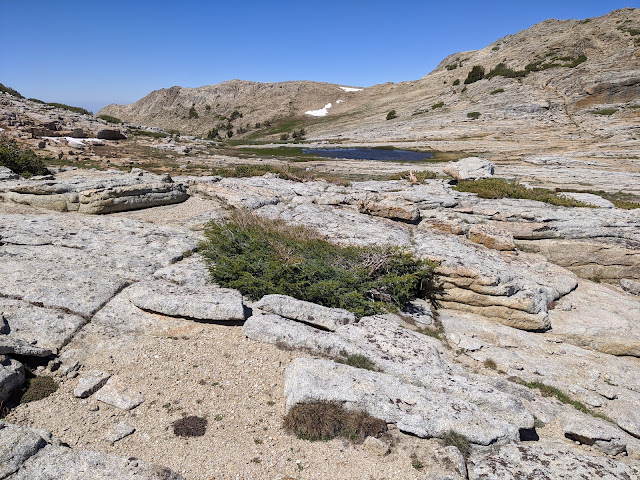
I was surprised how many small streams and ponds and marshy areas there were on the way up. If I had known, I could have carried less water up with me. Below the summit, the granite ended and turned to loose stone and dirt. This was a bit harder to walk up, but I was soon at the summit.
It was quite windy on top. I found and signed the register, then got my radio stuff set up. I sat on the lee side of the summit pile, and discovered I had some cell service. I put out a spot and soon had a small pileup on 20m. I made a few contacts on 30 as well, but didn't have any luck on 40. VHF worked well as well.
 |
| Looking back at the peak while heading over to Granite Dome. |
I was starting to get cool in the wind, so I packed up and continued on my way. I had a ridge walk over to
Granite Dome. From the summit of Black Hawk it looked ok, but I could see some places where it might be tricky. The first part was along a ridge made of the loose rock like at the summit, and was quick going.
Trailhead: Kennedy Meadows, CA 108. Then hike up to Lunch Meadow.
Website: SOTA Site.
Maps: AA6XA SOTA Hikes map.
Route: From Lunch Meadow, pick your way up the slope to the summit. My route was all class 1/1+.
Red Tape: Permit needed for overnight camping. No quotas.


