From the summit of
Black Hawk Mountain I continued along the ridge towards this second summit. I dropped down into the col with the small sub-peak, then had to decide how to proceed. I decided to try going around the north side, to avoid some elevation if I could.
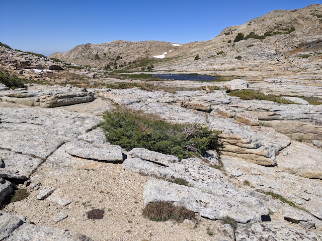 |
| Small lake on the way. |
This seemed like a decent decision. The going was pretty good, with only a few snowfields to cross. Nothing super dangerous. There were a lot more cliffs heading this way though. I was able to find ways around all of them, but some of them looked worrying from a distance.
 |
| Passage around one of the cliffs. |
After one set of cliffs, I thought I saw the summit ahead, but it turned out to be a false summit. The real summit was still a half mile away, with some more rocks to walk up. I was surprised to see another party get to the summit a few minutes after I did. And a second group came up a while later.
 |
| Looking down at Long Lake and the rest of the Emigrant Wilderness. |
There was no cell service on this peak, so I had to rely on RBNHole for spotting. The bands were not in good shape, I only got three contacts on HF. Luckily there were plenty of people on 2m and 70cm, and I had no problem activating the peak on those bands. Being up high makes VHF a lot more fun.
 |
| Heading down. |
I wasn't in a hurry, and it was pretty nice up there, so I hung out for a while. Once I started getting bored, I packed up and headed down to Upper Relief Valley. There was one more set of cliffs to navigate on the way, then smooth sailing. I was able to avoid all the dense brush lower down, and made my way past a few ponds.
 |
| Still going down. |
In the valley I found a nice campsite near one of the lakes, and set up. There was a nice breeze that kept the mosquitoes away all afternoon. Once it died down in the evening I just got into the tent. The next morning I packed up and headed down the trail back to Kennedy Meadows for the drive home.
 |
| The only difficult stream crossing on the trip, behind me. |
Trailhead: Kennedy Meadows, CA 108. Then hike up to Upper Relief Valley.
Website: SOTA Site.
Maps: AA6XA SOTA Hikes map.
Route: From Black Hawk Mountain, follow the ridge over. Or from Upper Relief Valley, head up from the west, staying south of the steep sections.
Red Tape: Permit needed for overnight camping. No quotas.


No comments:
Post a Comment