Saturday, December 28, 2019

W1/HA-199 Davis Hill

After getting nearby Wantastiquet Mountain I drove a few minutes over to the Kilbun Pond Trailhead in Pisgah State Forest to get Davis Hill. Note that the marker on Google maps is a bit north of where the parking lot is. Once I found the lot, I had to find the trail. I assumed it was the road heading into the woods at the end of the lot, but the Davis Hill Trail is actually closer to the highway.
Trailhead. Parking is just out of sight behind the sign.

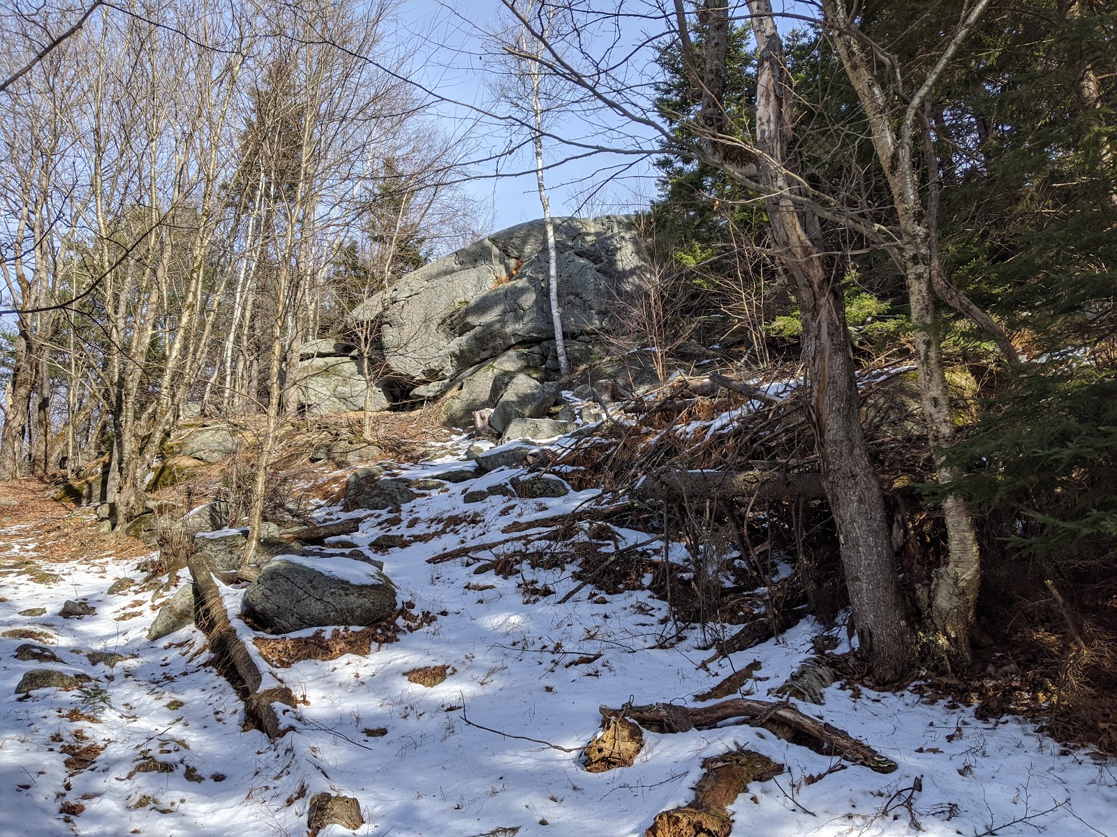
 Once I was on the correct trail, it was an easy hike up the hill. The intersections are all well signed, and it appears that the area is open to snowmobiles in the winter. I hiked up to the highest point on the trail, before it starts heading down again. This is past the town border sign.

I came out of the woods here on my way back.

 At the high point, I found a place that didn't look too bad and headed off into the woods. The forest was generally open, but there were some stands of mountain laurel I had to push through. Overall, it was an easy bushwhack up to the summit. There was no obvious highest point, so I walked around a little until I found a good place to put up my antenna.

Bushwhacking through the mountain laurel.

 There was good cell service on top, and I quickly had a pileup. Once I had worked everyone, including a few European stations, I packed up and headed back. I mostly followed my footprints, but lost them. Since I knew where the trail was, I just took a beeline to it, coming out of the woods at the town border sign.

Misty winter forest.

 Back at the car I headed for home. I thought about getting another peak, but it was still threatening rain, and all my jackets were damp, so I decided against it.

Trailhead: Kilburn Trailhead, Pisgah State Forest on NH 63.
Website: SOTA Site.
Maps: AA6XA SOTA Hikes map.
Route: Take the Davis Hill Trail to the high point, then bushwhack to the summit.
Red Tape: None.

W1/HA-146 Wantastiquet Mountain

The forecast was not super great, but I had access to a car and so decided to go out and get some more peaks. This time I would head west to near the Vermont border. First was Wantastiquet Mountain. There appear to be two trailheads. One hikes up from the Connecticut River, and is probably really nice on a clear day.
Trailhead kiosk.
The other route starts in the Madame Sherri Forest on Gulf Road, and this is the one I took. The parking lot was spacious and plowed. It was overcast, and had sprinkled a bit on my drive out, but no precipitation to start. The trail was well worn, and the microspikes were helpful.
On the way.
The junctions were all very well signed, and it was easy to pick the right direction. The trail appeared to be much less used after Indian Pond. Someone had already gone through, so it was easy for me to just follow the footprints. It started to rain, so I stopped to put on my raincoat. I was glad I did, because everything was wet after that short shower.
Icy pine needles.
The summit of the mountain is a fairly broad plateau. There are some small ups and downs on the way over to what my map said is the highest point. I stopped in a large clearing near some towers to set up my antenna. It seemed to be just below the high point. There was good cell service on the summit. It was a short time operating, since I was getting wet in the dripping snow and rain.
The tower on one side of the clearing.
After working the initial pileup I just packed up and went back. It wasn't fun sitting in the cold rain waiting for more people. The descent was quick, following the same trail as the way up. At the car I turned on the heat and headed over to Davis Hill.

Trailhead: Madame Sherri Forest, Gulf Road.
Website: SOTA Site.
Maps: AA6XA SOTA Hikes map.
Route: Follow the trail signs to Indian Pond then to the summit.
Red Tape: None.
On the way up.

Friday, December 27, 2019

W1/HA-147 Round Mountain

After activation Pitcher Mountain, we drove across Stoddard to get Round Mountain. The trailhead is off of Old Antrim Road, near the fire station. A mile or two down the road there is an old road with a gate, and just past it there was a trailhead sign to Bacon Ledge.
Parked in front of the gate, getting ready to go.

Sign on the gate saying hikers welcome!
My guess is that in the summer there is space to park at the trailhead sign, but it was very snowy there, so we parked at the gate. Heading down the old road, we soon joined the yellow-blazed trail that left from the sign. This trail took us all the way to Bacon Ledge.
Crossing an icy stream.
The first part of the trail is fairly flat, then in climbs up when it reaches the base of the hill. The trail seems to be routed to stay on public land, as it takes a rather roundabout route to get up on the ridge. On top of the ridge we lost the trail at Bacon Ledge. It appears that this is inside the activation zone, so we stopped here and I got set up.
Bacon Ledge view.
Sitting on the ledge I had some nice views back to Pitcher Mountain. There was no trouble getting chasers again, despite it being Christmas day. After about 15 minutes of setup and operating, we got cold, so we packed up and headed back. The drive back home was quick, since there was no one on the roads.
Just below Bacon Ledge.
Trailhead: Old Antrim Road, Stoddard, where the trailhead sign is. There is another road on the opposite side.
Website: SOTA Site.
Maps: AA6XA SOTA Hikes map.
Route: Head up the yellow blazed trail.
Red Tape: None.

W1/HA-152 Pitcher Mountain

One of my sisters had to work on Christmas, so my parents and I decided to go out for a hike on Christmas day. My mom is working on the NH firetowers list, so we picked out Pitcher Mountain. The trailhead is on NH123 west of Stoddard, and there is a small lot there.
Go up the right road, past the kiosk.
There are two options to get to the top, the road or a trail. They're about the same distance, both very short hikes. We made a loop, up the blue trail and down the road. It took about 15 minutes to walk up to the summit. I put on some more jackets, then got set up.
Lots of other RF on the summit.
There was some noise on 20m from the tower on top, but I was able to find a clear frequency. The interference moved in briefly, but not enough to cause me any trouble. There were plenty of European stations, which was fun. After working the pileup on 20, people were starting to get cold, so I packed up.
The fire tower.
On the way down, another sister called, so we stopped to talk to here, since there wasn't good service in the parking lot. Since it was such a short hike, we decided to go over and see if we could get up to Round Mountain on the other side of town.

Trailhead: Pitcher Mountain Trailhead, route 123, Stoddard.
Website: SOTA Site.
Maps: AA6XA SOTA Hikes map.
Route: Head up either trail. They're about the same distance and both very short.
Red Tape: None.
Making contacts on the summit.

Thursday, December 26, 2019

W1/MV-002 Fort Mountain

It was the final peak of the day, after Saddleback Mountain. I followed W1DMH's directions to the trailhead on Mountain View Road. I didn't read them closely enough though, since I parked in the wrong place and started up the wrong road. After a quarter mile I realized my mistake and turned around to go the right way.
The correct road.
The correct road has power lines running up it, with an "Authorized Vehicles Only" sign on one of the poles. There are a number of signs forbidding the use of ATVs and such, but the sign at the gate says hikers are welcome.
Nice to see that I'm welcome.
The hike is an easy walk up the road. It took me about 20 minutes to get up. There was a guy on top who had driven his 4-wheeler up, despite the signs. I said high, and he left a minute later. The views on top were awesome, at least compared to the other peaks I had done that day.
Looking one direction
I put up my antenna in a windy spot because there was a view, despite the cold. Getting contacts was easy, and once I started getting cold I packed up. I wish it had been a bit warmer so I could have stayed up and enjoyed the view a bit more. The hike down was quick, and back at the car I turned on the heat for the drive home.
Looking north, I think.
Trailhead: Mountain View Road.
Website: SOTA Site.
Maps: AA6XA SOTA Hikes map.
Route: Walk up to the road to the tower.
Red Tape: None. Don't drive past the sign.
Selfie time on the way up.