Monday, June 29, 2020

2020 June VHF Contest

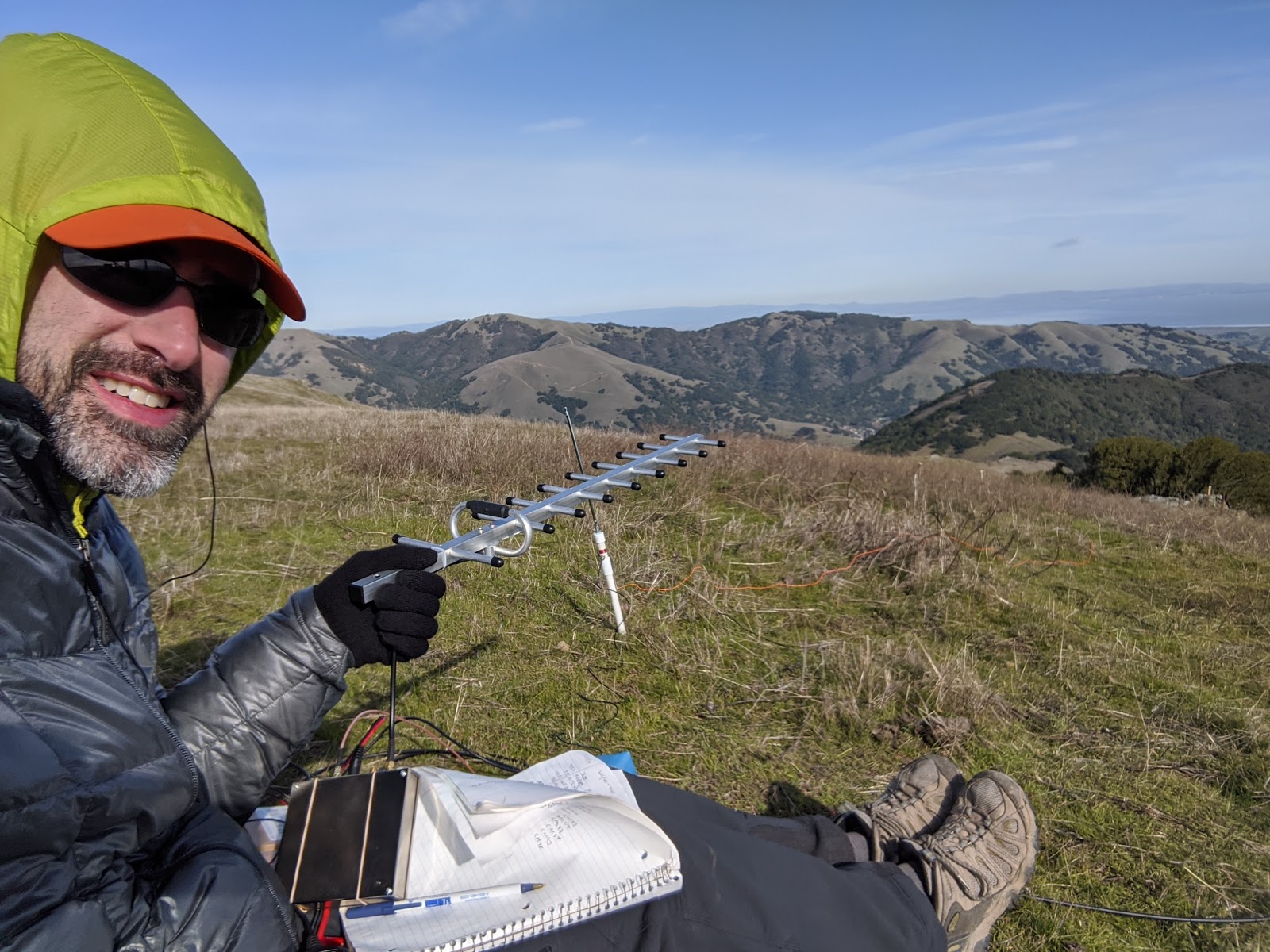
I had been traveling for work a lot in the weeks leading up to the contest, so I didn't have the time to prepare my big contest station. I was also pretty tired, so I didn't really want to carry all that stuff up to a summit, set it up, and then carry it down. Instead I brought my HT to a peak and did a short contest.
Looking over at Mission Peak.
I decided to go to Mt Allison, since its close and not a difficult hike. I took my usual route, and set up in my usual spot. This time I had my SOTABeams 2m BPF, and it made operating a joy. Without it I couldn't hear anything on 2m, but with it in I had one of the best signals on the band.
Lots of RF on the summit.
I spent about 90 minutes operating on 146, 223, and 446 with only my HT. I made 40 contacts for a claimed score of 540. I think it was a good results for the amount of effort I put in, but we'll see how it compares when the scores are finally published.
Great views of Mission Peak.

Monday, June 22, 2020

W6/SC-214 Iron Mountain

I was going down south for work, so I decided to get a peak before it all started. After chatting with some local activators, I decided to meet up with Chris N1CLC and hike up Iron Mountain. We met up in the parking lot, and headed up the trail. The lot was nearly full when I arrived, but we were both able to find parking.
Trail starts under the gate, with the summit in view.
The first part of the trail is very straight as it climbs up slowly. The hike is very exposed, and would not be good on a very hot day. There were a lot of people. It reminded me of Mission Peak in the bay area. At the base of the peak the switchbacks start. It feels like constant switchbacks up to the summit.
Looking east.
After climbing up to a col you get the first view to the other side of the mountain. There is a short flat section here, then more switchbacks up to the summit. The summit has a few picnic tables and a set of binoculars. Chris and I went to opposite sides to set up. Coordinating via 2m we were able to avoid interference. I worked 20 and 30, getting 16 contacts. Chris was able to get New Zealand.
The reservoir south of the summit.
I would have liked to stay longer on the summit, but I had a long drive ahead of me still, so we didn't linger. The hike back down was quick, retracing our steps. I managed to bang my leg on a rock and get a nice scrape, but not enough to draw blood. Back in the parking lot we said farewell, and headed our separate ways.
Some flowers were still blooming.
Trailhead: Iron Mountain Trailhead, CA 67 in Poway
Website: SOTA Site.
Maps: AA6XA SOTA Hikes map.
Route: Hike up the main trail. It is well signed and heavily used.
Red Tape: None.

Tuesday, May 26, 2020

W6/SC-063 Hepsedam Peak

Down at the southern end of San Benito County are Laguna Mountain and Hepesdam Peak. I had done Laguna a few years ago, and went back to attempt Hepsedam. The Laguna Mountain Camping area was closed and the gate was locked, so I had to park on the road. The sign on the gate said the trails were still open for hiking, so I climbed over and started up.
Laguna on the left, Hepsedam just peaking over in the middle.
The trail up to Laguna was as I remembered it. I knew to turn on the primitive trail and follow the new route up to the top to save some bushwhacking. At the top, I stopped for a snack and to rest for a few minutes, then continued on.
The trail up Laguna comes up a drainage, and if you continue straight over the summit area on the road you will be heading in the right direction. The road up here was rough, it probably never gets maintained.
Hepsedam Peak from Laguna. High point is the left summit.
The jeep trail drops down to a flat area on the ridge, and another jeep trail meets it here. Turn sharp right onto this new trail, and follow it down. It is nicely graded, and easy walking. It was overgrown in places, and probably only gets used by animals.
There is a very large and expensive looking occupied house just out of sight below the clearing.
After dropping a few hundred feet, the jeep trail ends. Here you have to push through a little brush to get to a nice open meadow. Follow this meadow down to the bottom of Sulphur Canyon. There is a small gully on the way down, but it was easy to find a way across.
Crossing the gully.
A little lower you cross Laguna Creek. I was able to step across. Above the other side of the creek is a well maintained and traveled road. There is a little flat area before the real climb begins. This section is the most unpleasant for two reasons. First, it is extremely steep. Second, there is lots and lots of poison oak. It was unavoidable.
Taking a break at a spot without poison oak.
At the top is the densest brush on the route. You have to push through it to get to the end of another jeep trail. That is the end of the hard section. Follow this new trail up to the ridge. The bottom part is rather overgrown, but still easy to follow. At the main road on the ridge turn right and head up.
Otherworldly landscape near the summit.
Below the summit I stepped off the road and went straight up through the woods. The area below the summit is bare earth, and a stark contrast to the rest of the terrain. At the summit are some old concrete pillars and a wooden cross. The lid for the register was still under a rock, but the body of the case was scattered around in a few pieces.
Summit.
I setup just below the summit. There was very marginal cell service for spotting, but I was able to get some out. I only did 20 and 40 since it had been getting cloudier all day, and I really didn't want to be bushwhacking back in the rain. As it turned out, I got back to my car about two minutes before the heavens opened up.
Walking back up the meadow.
I retraced my steps back to the top of Laguna, which I activated before heading back to the car. It was a long hike, but a neat mountain to go to. And somehow I never broke out in a rash from all the poison oak!

Trailhead: Laguna Mountain Campground. This is the third BLM site along Coalinga Road.
Website: SOTA Site.
Maps: AA6XA SOTA Hikes map.
Route: Hike up to the top of Laguna Mountain. Continue straight across the summit area on the trail. At the flat area below turn right onto a new trail. At the bottom, follow the meadow down to the stream, then bushwhack up the ridge across to the jeep trail. Follow road up to below the summit, then bushwhack the last few vertical feet.
Red Tape: None.
Looking back at Laguna.

Friday, May 1, 2020

W6/NC-333

I wanted to get out for a hike during the coronavirus lockdown, and choose this peak, thinking it would be easy to stay away from people here. There is an old logging road that runs up to the summit from Hecker Pass Highway, CA 152. Where Bodfish Creek meets the road there is a decent sized pullout, then a bridge across the stream.
Heading up the road.
I parked, crossed the bridge, and started heading up. It was cool in the redwoods, and very shady. The road climbs steeply, like these roads tend to, and I warmed up quickly. There was no challenging navigation, just a few junctions near the top. But by then its easy to see which way to go.
Old cabin on the way up.
About half way up there is an old abandoned cabin, and shortly after that an unsigned fence. There were a few down trees across the road too. Near the top the forest starts opening up, and there are some large fields.
Almost at the summit.
At the top I found a clear spot next to a tree, and got my antenna up. The cell service was very marginal on top, but I managed to get out a spot on the first band. I got 13 contacts, including two summit to summits. As I was operating, a group of turkeys walked across the field in front of me.
One of the turkeys.
After packing up I went down the same way. It was much warmer at the car, and I was glad I had got up early to do the peak.

Trailhead: Pullout on Hecker Pass Highway.
Website: SOTA Site.
Maps: AA6XA SOTA Hikes map.
Route: Follow the road up to the top.
Red Tape: None.

Monday, January 20, 2020

W6/NC-350 Loma Alta, 2020 January VHF Contest

It was the January VHF contest, and time for my annual trip up to Loma Alta. This year it was sunny, but very windy and cold. I went up from Big Rock again.
The Big Rock.
This year I had two new bands, 902 and 1296. I had bought transverters from SG Labs the previous fall, and it was time to take them out to see how they worked. At the summit I set up similar to last year, yagis on one pole, wire antennas on the other.
144, 222, 432 antennas.

Vertical EDZ for 2, inverted-V EDZ for 6.
I had a few minutes before the contest started, so made 2 dozen quick contacts on 20 using my Pacificon Special antenna. Propagation on 20 was good. Once 11am rolled around I stared doing VHF. I quickly got contacts in the four nearby grids, CM88, CM87, CM98, CM97, and a few farther away ones on 6 and 2 meters. Once things started to slow down, I got out the new transverters to give them a try. They worked wonderfully.
The microwave setup.
On 1296 I heard some people in the south bay, and quickly got some contacts. Then I realized that K6MYC was actually in the Sierra foothills north of Fresno, 280km away! This is only 10km less than my 2m distance record!
My longest 1296 contact, and favorite from the contest.
902 was less fruitful, only one contact on the band. I was amazed how much more noise there was pointing the antenna at cities. By this point I was getting fairly cold, and my mast had just blow over again. I decided to just pack up and head down. My score this year is quite a bit lower than in the past because of the shorter time, but with a bit more preparation I think I'll be able to do better in June and September.
The wire antennas.
I need to get my digital interface working so I can get on FT4 and FT8 next time. I also need to see if I can get a better system to hold the pole up in the wind. I think I might need a second guying ring higher up the pole. I'd also like a 146/223/446 vertical antenna for FM. It would be nice to be able to just leave my HT connected to an antenna the entire time. I also want a better solution for the microwave antennas than just holding them. Its hard doing everything with only one free hand.