 |
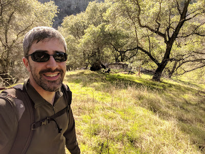
| Almost at the top of the steep section. |
Across the street from the pullout I found a gap in the fence. Above this is a gully that is fairly open. I climbed up the side of the erosion gully. It was steep, like the final push up Junior Benchmark, but not as long. At the top of the ridge the terrain levels off. Here there are some old roads from when there was talk of building houses up here. There are lots of markers along the way.
 |
| Lot number 15. |
The trees are sparse enough that there were views as I climbed up. There are a few paths running along the top of the ridge. I took the left fork at every intersection I came to. From the satellite view, it appears either direction would be fine. The summit was a short distance above the road.
 |
| Mt Vaca (I think). |
On top I put my pole against a tree branch, then strung out the antenna and got on the air. There was decent cell service, not as strong as on the other two peaks, but I had no problem filling the log. Around the time I got to the summit, the sun came out. This made it more pleasant to sit on top and play radio. The hike back was quick, since I no long had to fight gravity.
 |
| On the way back down the steep section. |
Trailhead: Pullout on CA 128.
Website: SOTA Site
Maps: AA6XA SOTA Hikes map
Route: Cross the road and fence, and find a way up the steep slope to the top of the ridge. Follow one of the old roads up to the summit.
Red Tape: None.
Website: SOTA Site
Maps: AA6XA SOTA Hikes map
Route: Cross the road and fence, and find a way up the steep slope to the top of the ridge. Follow one of the old roads up to the summit.
Red Tape: None.
 |
| Following the road down the ridge. |
Cease Operating on Wragg Ridge W6/NC-343 - Private Property:
ReplyDeleteMr. Burton, the owner of Wragg Ridge, a ranch property has contacted Brian Boschma , W6 / CC Region Manager, asking us to stop all operators from trespassing onto Wragg Ridge Summit, W6/NC-343. I have researched the area and indeed this is private property. The nearest public lands are part of a land trust that is to the west on the other side of Monticello Road. The roadway nearest Wragg Ridge is ringed with barbed wire fencing and there locked gates in front of the few dirt roads that enter the property. There appears to be a barn and home near the main roadway to the south. One written report on operating from the peak indicates that it was necessary to pass over/under a fence line. There may be a path from the north but eventually a fence line will be encountered. This analysis was done using Cal Topo, SOTLAS, and the Napa Valley Agricultural Preseve website.