This peak is right on the edge of the Red Rock Canyon area outside of Las Vegas. The best place to start seems to be at the Red Rock sign. There is a large pullout here where people like to stop and take pictures with the sign. I parked at the end of the pullout, then crossed the road. After a short road walk I turned up the hill. You could go up sooner, but there is a very steep embankment. If you cross the cattle guard, you have gone down the road too far.
 |
| A few feet up the hill. Cattle guard, with the red rock hills in the distance. |
There are a few sub peak that you have to climb over or around on the way to the summit. The slope up to the first is a nice grade, with good footing. When I got near the top I could start to hear the shooting at the gun range on the other side of the hill. This was a constant annoyance the entire time.
 |
| Taking a breather on the way up. |
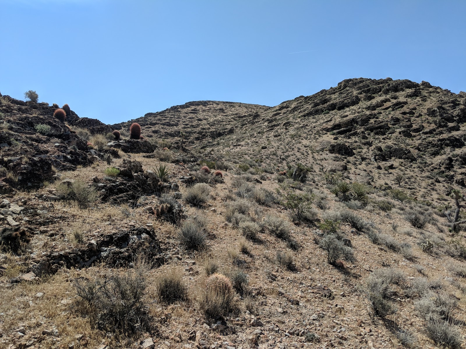
After the first knob the ridge is fairly flat for a distance then starts going up again. There were some cliffs around the next knob, but they were easy to avoid by staying on the ridge. I did some side hill around the top of the sub-peak, and got to the col between Red BM and Pk 3853.
 |
| Looking at the peak, from the last col. |
From here it looked like the easiest way up was to ascend the dry streambed. This took me directly to the summit plateau. I found the benchmark, then found a nice rock to sit on and got set up. It was the day of the VHF contest, but I was up early, so I started on HF. Someone on the Slack group had said that 17 was open, so I started there.
 |
| One of the cliffs on the summit. |
I made a bunch of contacts, then went down to 20, then 40, where I made one each. By this point the contest had started, so I got out the HT and started calling on the FM calling frequencies. I was surprised how little activity there was. After two hours, I only made 11 VHF contacts. If I had been in the Bay Area I would have made many many more. Despite the dismal results on VHF, I made some more HF contacts when I got bored of yelling into the microphone.
After about 2.5 hours on the summit I decided I had had enough, so I packed up and retraced my steps back to the car. It had gotten windy while I was on top, but not as much as when I was over
near Hoover Dam. The footing was very good, not many areas of loose sand or gravel to slip on.
Trailhead: Pullout at the Red Rock sign.
Website: SOTA Site.
Maps: AA6XA SOTA Hikes map.
Route: Go cross country up the ridge.
Red Tape: Don't go down the wrong side of the mountain or you'll end up on private land or worse, a gun range.
 |
| Interesting rock on the way down. |


No comments:
Post a Comment