Thursday, December 26, 2019

W1/MV-008 Saddleback Mountain

After activating Pawtuckaway Mountain I drove a few minutes north to get this peak. The easiest trailhead appears to be Saddleback Mountain Road off of NH 43. This is where I started. The road is dirt, and there is a fence with a sign about a half mile in saying cars are not allowed past this point. I turned around and parked there.
Park here.
The sign doesn't say anything about hikers, so I just walked up the road. There is a house near the top, and as I was heading up, they drove past. We waved, and both continued on our way.
Getting close to the summit.
There are a few towers on the summit at the end of the road, but the true summit is a bit higher and through the woods. At the top I found a spot where the forest looked thinner at the end of the road and started bushwhacking. You need to head mostly northeast to get to the high point. Others have said they found faint trails, but I didn't see anything and didn't look.
Not lost in the woods, yet.
It was easy to avoid the thick areas in the forest, and I soon found my way to the high point. I knew I was there when I found a register behind a log. I signed it then got my antenna set up in a clearing. It was close to noon, so not very many EU stations, but plenty of other chasers.
Nice clearing near the summit to operate from.
After working the pileup I packed up since it was chilly out. I followed my footprints back to the road, then headed down to the car. There was still plenty of daylight left, so I decided to go over to Fort Mountain for a final summit.

Trailhead: Saddleback Mountain Road.
Website: SOTA Site.
Maps: AA6XA SOTA Hikes map.
Route: Walk up to the road to the towers, then bushwhack over to the summit.
Red Tape: None. Don't drive past the sign.
Register on the summit.

W1/NL-019 Mt Pawtuckaway

Another day for some New Hampshire SOTA. I had to drop my dad off at work in order to use the car, so I decided to head east and get some peaks. First up was Mt Pawtuckaway North. This peak is in the northwest corner of Pawtuckaway State Park. The closest trailhead is on Reservoir Road, and this is where I started.
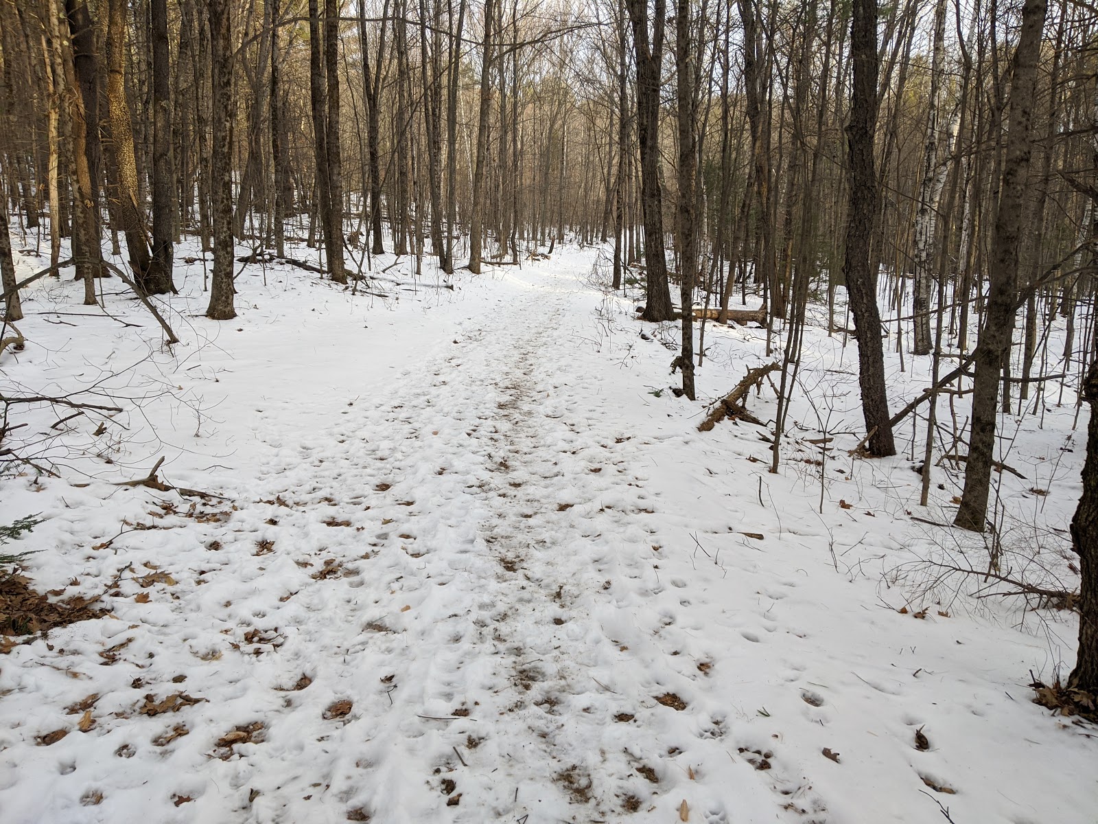
Starting up the trail.
There was parking for 4-5 cars, and it looked like it was a heavily used trailhead, even in the winter. There was no one else there when I started, and I didn't complain. The first half mile is a flat approach to the hill. Then there is a 500 foot climb, then a walk along the ridge.
About to start the climb up.
The only tricky part is at the junction, you have to go right then immediately left to go up to the summit. I took off the spikes when I started climbing since there was much less snow on the slope. It was an easy climb, but I took it slow since I didn't want to get too sweaty and freeze when I got to the top.
Big rock at the summit.
There were a few viewpoints along the ridge looking back into the park, and I stopped to enjoy them. The summit is a large, flat, glacial erratic boulder. I climbed up, then decided to sit up there to operate. I strung out my antenna and got on the air. Like on Monadnock the previous day, there were plenty of European chasers on 20m.
About to drop off the ridge.
Once I started getting cold I packed up and headed back to the car. The hike down was pretty easy, there wasn't enough ice to make it hard. At the car I had a snack and drove over to the start of Saddleback Mountain, my next goal of the day.

Trailhead: North Mountain Trailhead, Reservoir Road, Pawtuckaway SP
Website: SOTA Site.
Maps: AA6XA SOTA Hikes map.
Route: Take the North Peak Trail up to the summit.
Red Tape: None.
On the summit.

W1/HA-009 Grand Monadnock

I was back in NH to visit family for Christmas, so of course I needed to go out and get some peaks. I only had the car for a few hours, since my sister needed to go to work, so I picked a nearby peak to do. At the trailhead I talked to the ranger, and he said the White Dot Trail was the best way to the summit and that the other trails might require full crampons. I only had microspikes, so I took his advice.
Starting up the trail.
The trail was cold and snowy, but I quickly warmed up and had to take off a layer. The first part of the trail is relatively flat, and I quickly got to the base of the climb. Here I really started to heat up. There was only one other car in the parking lot, and I didn't see anyone else in the woods.
Still heading up.
The snow seemed to get thinner when I reached the open, rocky ledges, but there was still enough snow and ice that I left the spikes on. It also got very windy when I got out of the trees. I caught up to a couple near the summit, and they were wearing full crampons and had ice axes. I wondered why, it didn't seem that bad out there to me.
First view of the summit.
I tagged the high point, then retreated down a short distance to get out of the wind. I found a spot that was a bit calmer, and got set up. I was hoping to get a bunch of European stations, since it was still late morning. I wasn't disappointed. Nearly half of the people who chased me were in Europe, mostly Spain.
Only a little hazy.
I called a few times on 40, but didn't get many responses. I was getting cold in the wind, so I packed up and headed down. The temperature had increased, and the snow was very slushy, which made a few sections more interesting. I made it back to the car in plenty of time, and headed home.
View from my operating position.
Trailhead: Monadnock State Park.
Website: SOTA Site.
Maps: AA6XA SOTA Hikes map.
Route: I took the White Dot Trail, but there are many many ways to get to the summit and back.
Red Tape: None.

Monday, December 2, 2019

W6/NC-154

This peak was the second of the day, continuing my loop from Lowery Benchmark. From the col between the two peaks, where the Fiske Creek Trail meets the road, I started hiking up the road. It had rained earlier in the week, and the mud was super sticky.
Such heavy mud.
I had to stop every few minutes to scrape the mud off. Really got my leg workout in. I also saw a number of mountain lion tracks, but no mountain lions.
Glad I didn't meet the maker.
It seemed like a long climb up, but I made it to the top of the ridge eventually. The views were great here, but blocked to the east by Blue Ridge. I turned right, and made my way to the summit.
Looking back at Blue Ridge.
There is a short spur road that goes over the summit. With lots of open space I picked a bush to hold my pole and got set up. Planning ahead I put on my puffy jacket when I stopped. I was disappointed with 20 and 30, but I got lots of contacts on 40. Still warm, I decided to try VHF, but didn't get any contacts. I would have spent more time on the summit, but some dark, ominous clouds appeared to be moving closer.
Dark clouds just outside the frame.
It was about seven miles back to the trailhead, mostly downhill. I ran most of them. A truck passed me right before I left the ridge, the only other humans I saw on the loop. The descent was the same vertical, but over twice the distance as the climb up to Blue Ridge. This made it a very pleasant jog down. The darkening sky certainly helped move me along too.
Blue Ridge across the valley.
I hadn't brought a raincoat since the forecasters had said it would be nice all day. I felt better once I got into the forest again. I was surprised to see tire tracks since the road is closed at the north end at Cache Creek.
Large barn near the trailhead.
A few moments after I got back to the car, it started raining. I couldn't have timed it any better. I got in, started the heater, and began the long drive back home.
My favorite road sign.
Trailhead: Cache Creek Canyon Regional Park (Fiske Trailhead). This is also where Road 40 turns off of CA 16
Website: SOTA Site.
Maps: AA6XA SOTA Hikes map.
Route: Take Road 40 up to the ridge, then head south to the summit. It is possible to drive to this summit with an appropriate vehicle.
Red Tape: None.
I don't think I'd want to drive over the bridge, but I'm glad its still open to pedestrians.

W6/NC-120 Lowery Benchmark (Blue Ridge)

The day after Thanksgiving was looking like it would be the only nice day of the week, so I took advantage of it and went for a hike. I chose a loop over two unactivated peaks in the Cache Creek area, in the Berryessa-Snow Mountain National Monument. First up was Lowery Benchmark.
Heading up. The lit peak is on the other side of the river.
My car said it was 28F when I pulled into the parking lot. The lot is the first one you pass, on the left, after entering the canyon on CA16. Plenty of parking, and a bathroom. I got moving quickly to try and warm up. After a mile or two of climbing I had gotten myself to a comfortable temperature. The trail was easy to follow, and I warmed up even more when the trail wound around to the east side of the ridge and I got some direct sunlight.
Cache Creek canyon, and the parking area.
After about 2300' of climbing I reached the ridge, and shortly after Fiske Benchmark. This seems to be the place where most people stop. I signed the register on top, then continued along.
On the summit of Fiske.
I quickly lost the trail and did a short but horrendous bushwhack to get back to the trail. I was worried the trail would be very bad and I wouldn't be able to get to Lowery in a reasonable amount of time. This wasn't a problem, and the trail was generally easy to follow, if overgrown.
This was the snowiest section of the hike.
The ridge was nice. There wasn't a breeze, so I stayed warm enough, and the views were excellent. A bit too hazy to see the Sierra, but I could see Mt Diablo to the south and the Snow Mountain area north of me. Plenty of snow on the higher peaks.
The high point there is 2798.
The benchmark was just off to the side of the trail. I stopped there and set up my antenna, sitting next to it. Propagation seemed decent, and I made plenty of contacts. I hadn't put on my warm coat, and after about 20 minutes of sitting still I was getting cold. I packed up and continued on to the crux of the route.
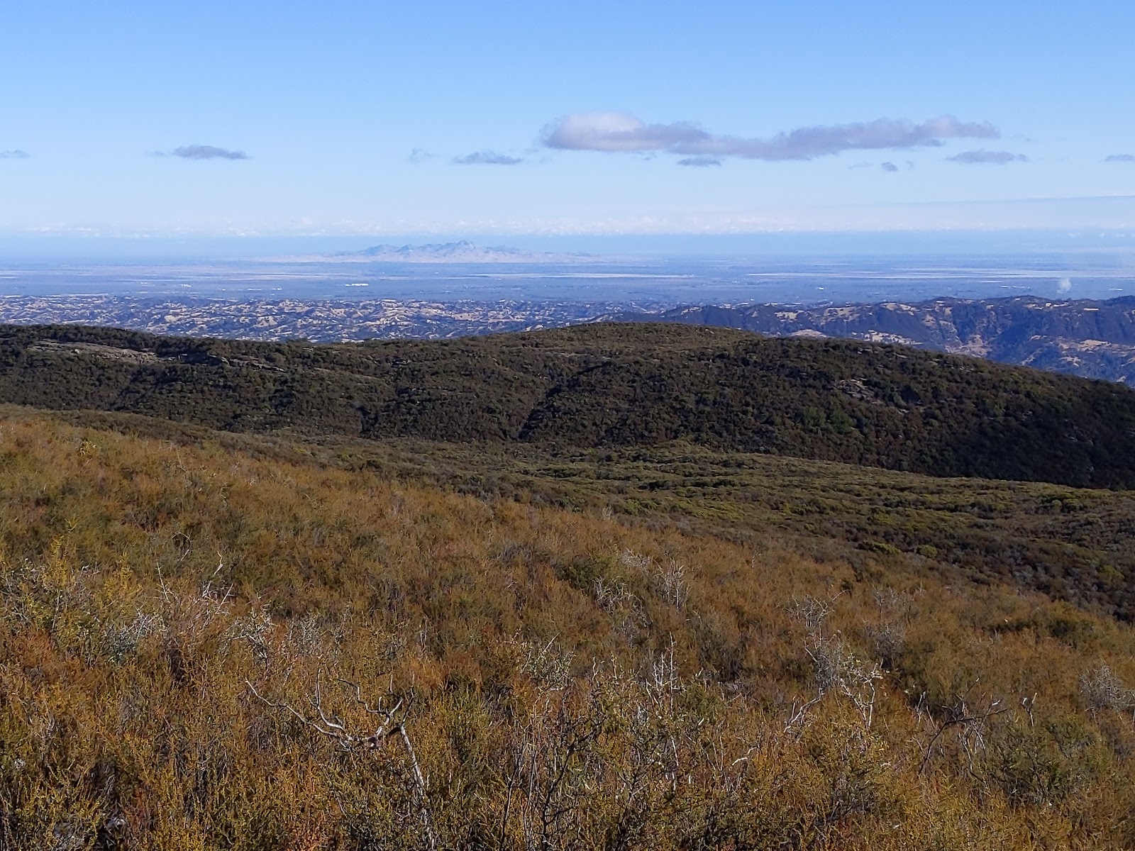
The Sutter Buttes were clearly visible.
There is a road network below Blue Ridge that I was planning to take up to Pk 2798, but no trail connecting the ridge to the road. From the satellite imagery it looked like there might be a break in the cliffs on the west side of the ridge, and I was hoping there would be a reasonable route down to the road. I was in luck.
The road below me as I stepped off the trail.
It turns out the Blue Ridge Trail switchbacks down to the end of the road. I stepped off the trail before the end, but I think if I had continued it would have been obvious the trail went down. As I was descending a steep but reasonable slope, I noticed something that looked like a trail below me. When I got down to it I could see it went towards the turnaround at the end of the road, so I took it. Saved me some difficult bushwhacking.
Trail sign at the road's end.
If you have a 4WD, high clearance car you could probably drive up to here and have a 1.5mi hike up to the summit. On the road I jogged down to the col, where the Fiske Creek Trail leaves to the north. I then started the long climb up to Peak 2798.
Mt St Helena.
Trailhead: Cache Creek Canyon Regional Park (Fiske Trailhead). This is also where Road 40 turns off of CA 16
Website: SOTA Site.
Maps: AA6XA SOTA Hikes map.
Route: Follow the Blue Ridge Trail up to the summit. Trail is overgrown south of Fiske BM.
Red Tape: None.