We woke up early at our AirBnB on the Taos Plateau so we could get to the summit before it got too hot. On our way through town we stopped to get some breakfast burritos to fuel our hike up to this impressive peak.
 |
| The massive cliffs of Hermit Peak were visible from miles away. |
After a long but scenic drive we made it to the El Porvenir Trailhead. There are two small lots for parking before you go over the bridge. On the other side is a campground, which looked pretty nice. You can walk on the road over the bridge to the start of the trail, or take the footbridge near the kiosk and stay on trails. We didn't know where the other side of the bridge went, so we walked around the road.
 |
| The start of the trail was very well marked. |
The first mile or so of the trail crosses some private land, and you are required to stay on the trail. This is also the flattest section, and we made good time. We got glimpses of the peak through the trees. Eventually the trail enters a canyon and begins to switchback up.
 |
| At the bottom of the canyon. |
This is the hardest part, and where most of the elevation is gained. We took it easy since none of us was fully acclimated. At the top we stopped at an overlook for some pictures before continuing.
 |
| Made it to the top of the canyon. |
From here there is still a little elevation, but it is very gradual. We passed the spring which still had quite a bit of water in it. We then managed to walk over the summit without realizing it, we were so enraptured by the view ahead.
 |
| Joe and Allison enjoying the view. |
After spending a few minutes taking in the view, we found some places to set up. Since Allison wasn't operating, she walked around videoing us as we set up and operated. I started on 20 since I had had such good results on it the previous day. We both had 2m HTs, and we used them to coordinate band changes. This seems to work well.
 |
| A decent number of trees provided shade and held up my antenna. |
After working everyone, we packed up and retraced our steps back to the car. The descent was long, but it wasn't hard. Switchbacks make everything easier. Back at the campground we decided to try and take the trail back to the parking. There was a nice set of steps down across from the trailhead sign, and a pleasant walk back to the bridge.
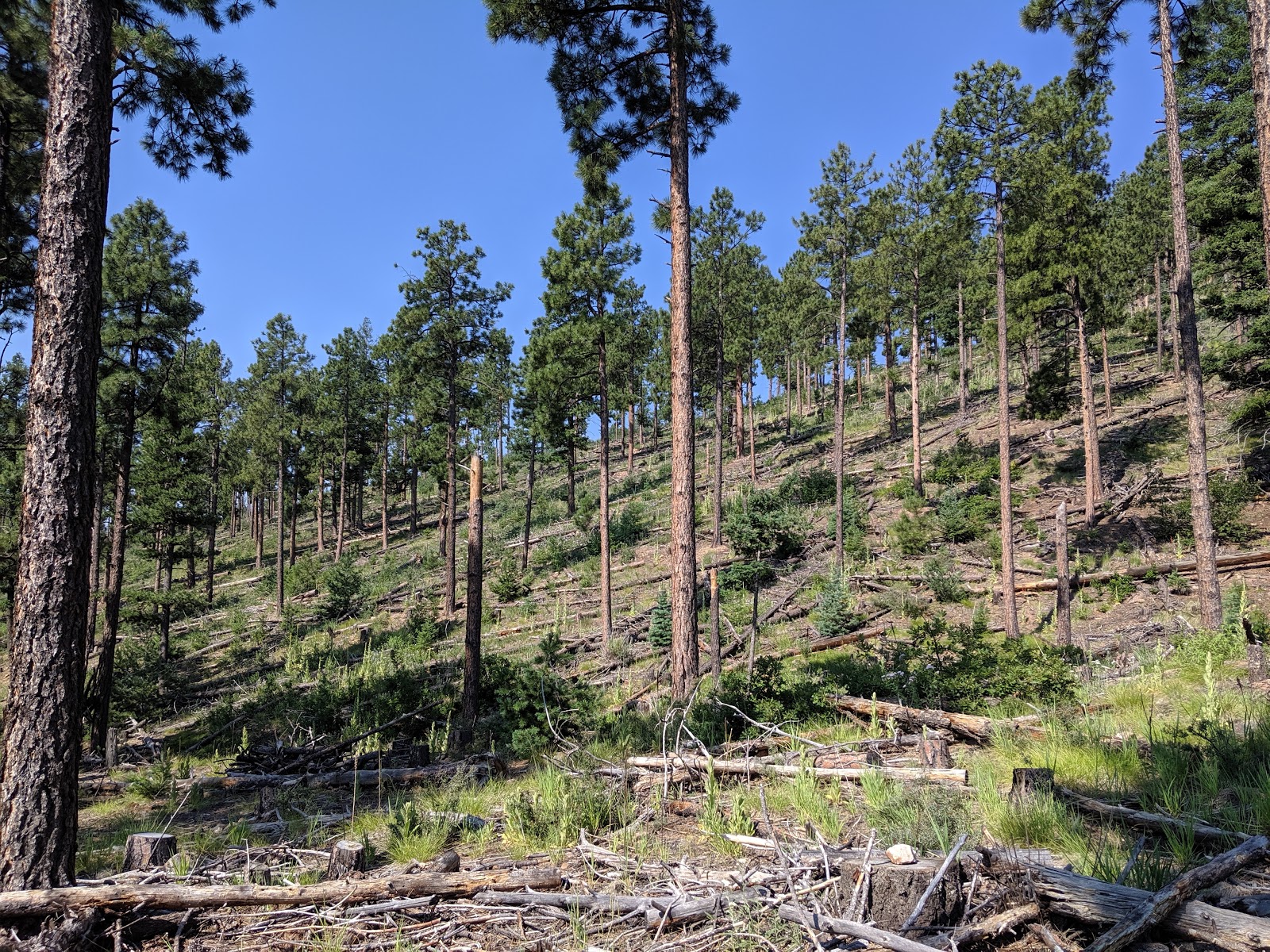
 |
| Open forest at the start. The area has been logged. |
Also see Joe's video of the hike:
https://www.youtube.com/watch?v=acho2IWkkvE
Trailhead: El Porvenir Trailhead. If you get to the campground you've gone too far.
Website: SOTA Site.
Maps: AA6XA SOTA Hikes map.
Route: Cross the footbridge by the kiosk. Cross the road and start up the trail at the big sign. The junctions near the bottom were signed well, and mostly led to private land. Only one trail to the top.
Red Tape: None. Stay on the trail where it crosses the church camp's land at the start.


No comments:
Post a Comment