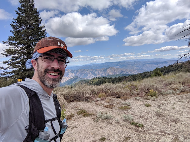
I was in Idaho for work for a week, and decided to take advantage of some down time to get some peaks. First up was Shafer Butte and
Mores Mountain. After arriving at the airport I got my car and drove up into the hills. The road is paved until you get to the ski area, where it is a good dirt road. Since I wanted to get both peaks I started at the Shafer Butte Campground and Picnic Area. Google was able to get me there with no issues.
 |
| First view on the way up. |
After paying the $5 fee and changing into my running clothes I headed up the road to Shafer. The trails appear to be ski trails in the winter, or access roads, so they are wide and easy to follow. There is also a large network of them on the side of the mountain, but going up was always a safe bet.
 |
| There was some forest on the peak, but lots of vistas. |
I was feeling good, and made good time up to the summit. It wasn't high enough for me to notice any altitude effects. There were some construction working near the summit, so I stayed out of their way. After tagging the high point, I went down a bit to some trees where I set up. I had good service on top and was soon on the air.
 |
| Closed fire lookout on top. |
There was no trouble getting contacts despite the mid-week activation. It was a bit chilly, but the long-sleeved shirt and windbreaker were enough to keep me warm. After I worked everyone I packed up and headed down. It was a quick run back to the start. I took nearly the same path, but missed a turn and did one long switchback instead of a few short ones.
Instead of stopping at the bottom, I continued immediately up the trail to
Mores Mountain.
Trailhead: Shafer Butter Campground and Picnic Area. There are lots of trails on the mountain, and lots of other possible trailheads.
Website: SOTA Site.
Maps: AA6XA SOTA Hikes map.
Route: Go through the group area, then follow the trails to the summit. None were marked with names/signs, so a map is necessary.
Red Tape: None.


No comments:
Post a Comment