After coming down from
Shafer Butte I continued across the parking lot to the nature trails that lead up to the top of Mores Mountain. I didn't have a map and the USFS maps don't show any trails, so I was pleasantly surprised to find some trails on the mountain.
 |
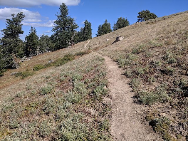
| The sun had come out, and the trail was excellent. |
Since I didn't have a map, I was guessing the best way to go at each intersection. Luckily my forest sense is good enough that I made it to the top without having to backtrack. The trails were in excellent shape, lined with logs in most places. It was great having them, since the forest seemed a bit dense for easy bushwhacking.
 |
| Rocky areas on the west side, on the way up to the peak. |
I was a bit worried I had chosen a bad trail since it seemed to be avoiding the summit. but eventually it turned up and went right to it. I signed the log, then set up my antenna.
 |
| Open meadow just below the summit. |
I had good service and good views as I operated. This area of Idaho is beautiful, and I could have spent days exploring the mountains, but I had to get to Twin Falls for work. So I packed up and headed back. The trail seemed to be a loop, so I continued around on it.
After a little while I recognized a meadow I had passed on the way up, so took a trail across it then back down to the car. The drive down the mountain was nice, then the long drive on the freeway to Twin Falls.
Trailhead: Shafer Butte Campground and Picnic Area
Website: SOTA Site.
Maps: AA6XA SOTA Hikes map.
USFS map
Route: Take the nature trail.
Red Tape: None.
 |
| That point might be higher, but both are in the AZ. |


No comments:
Post a Comment