Tuesday, September 24, 2019

W6/NS-065 Hawkins Peak

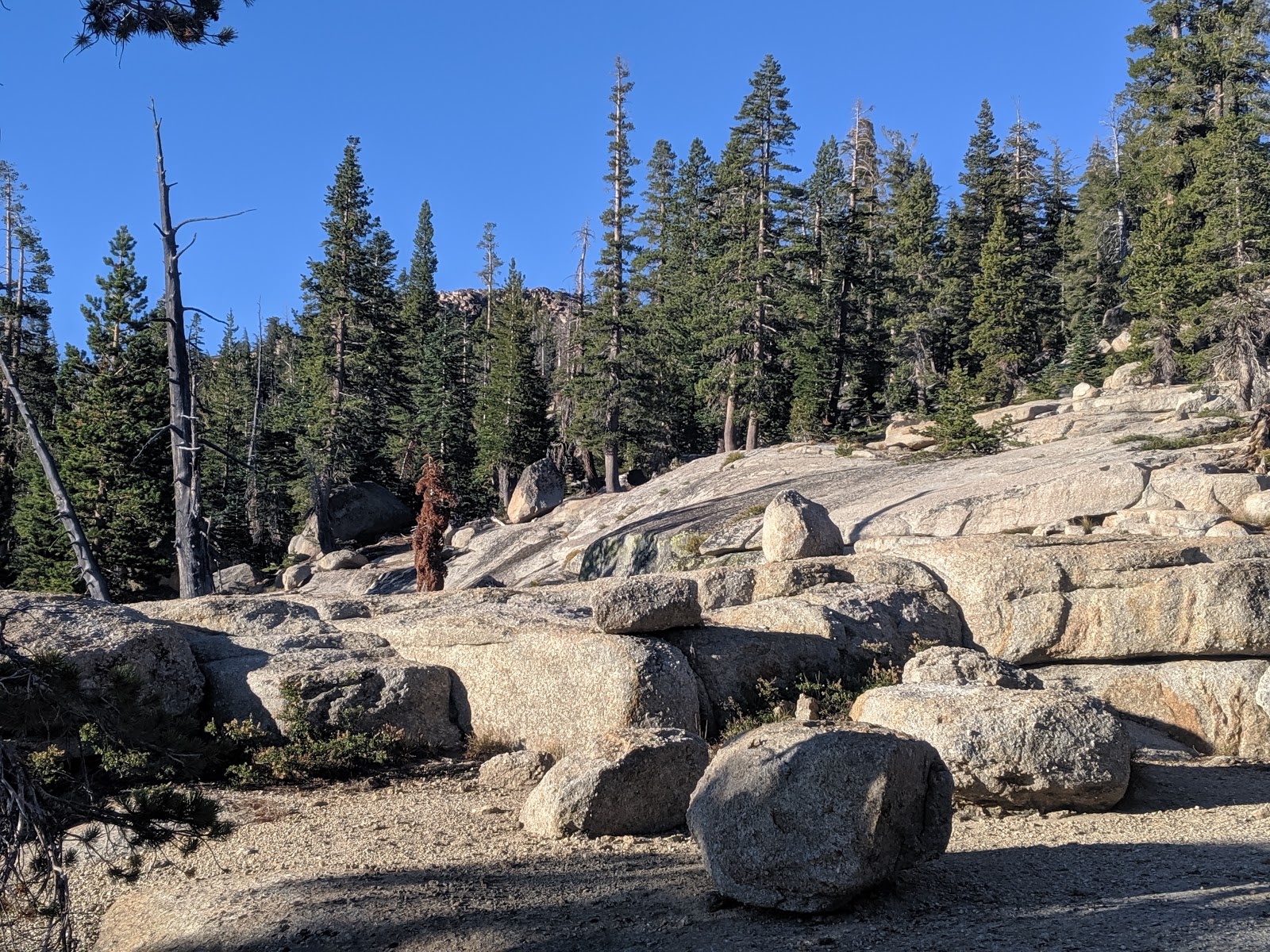
After hiking up a small peak south west of Burnside Lake, I headed up Hawkins Peak. There is a decent road up to near the top, but it requires clearance and low range to get up. Since my car has neither, I walked.
Looking over to Red Lake and Stevens Peaks.
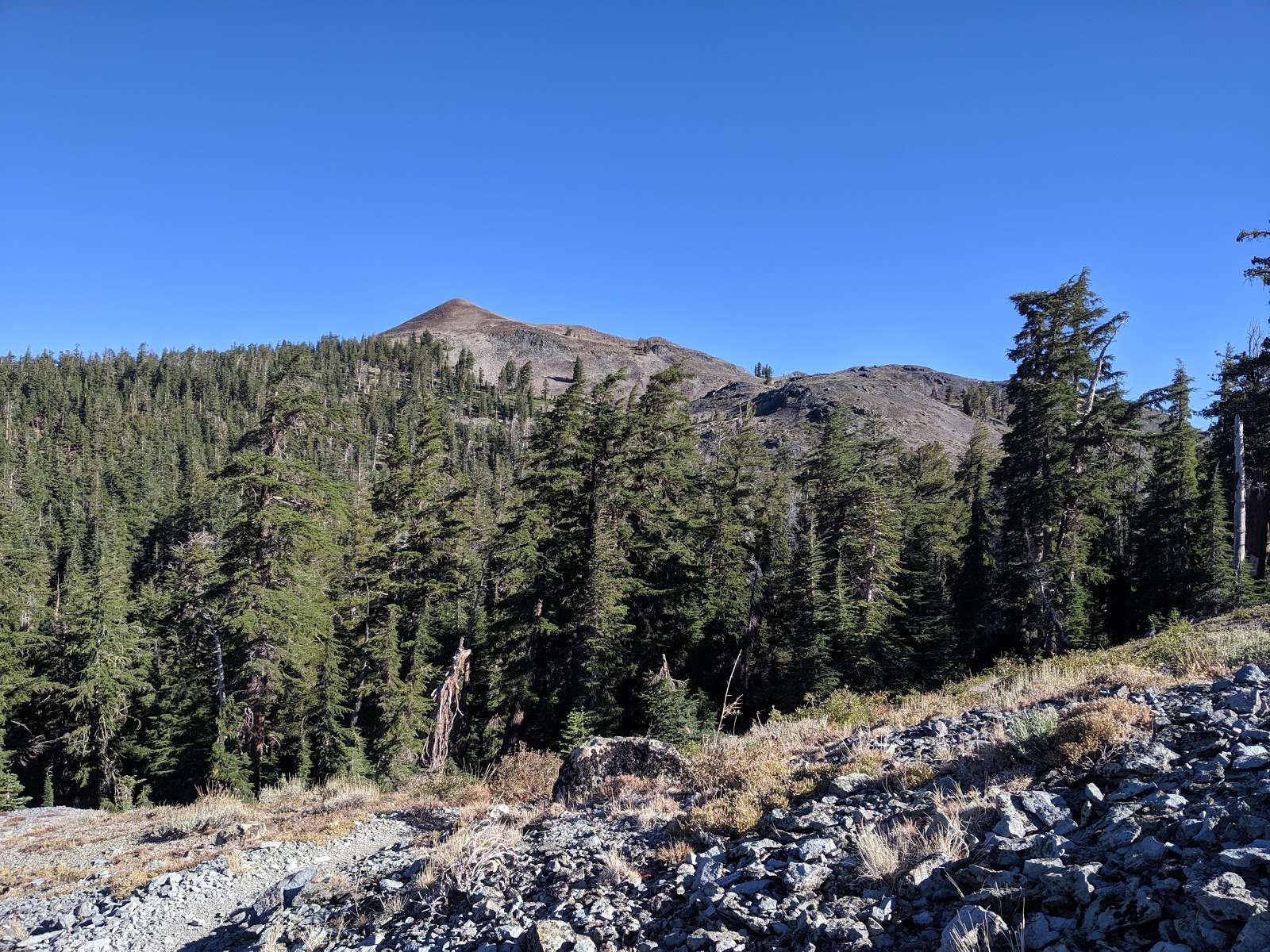
The road quickly climbs out of the trees, and the views just get better as you climb. I was passed by a bunch of dirt bikes and side-by-sides. They kick up a lot of dust, so I started walking it the middle of the road to prevent this. There are some steep sandy sections of the road, but no problem on foot.
Getting closer.
I took the road around to the back side of the peak, where there is a large structure covered in solar panels. It seems to be sheltering some equipment. I had assumed there was a path to the top since there are towers up there, but I couldn't find one. So I just picked a place that didn't look too bad and went up.
On the summit.
The hike up the summit cone was steep, but not as bad as I feared it might be. I found some faint use trails, but nothing that looked official. It was pretty windy on the summit. but there were enough bushes to hold up my pole and antenna. After operating HF, I made my only VHF contact of the weekend, to a guy driving out Blue Lakes Road.
Looking back at the summit.
The hike down was pretty quick, and I passed more vehicles going up. Back at my campsite I settled in for a relaxing afternoon in the Sierra, at least I was stung the second time by a yellowjacket.

Trailhead: Forest Road 019A
Website: SOTA Site.
Maps: AA6XA SOTA Hikes map.
Route: Take the road up. Near the summit cone, find a good route to the top.
Red Tape: None.

W6/NS-125

Day three of my Labor Day Sierra SOTA trip. I had camped along Burnside Lake Road, so I was able to get an early start. The I walked along the road to forest road 205E, then took that. Regular cars could get to this point without much trouble.
Up the path.
The road is blocked to vehicles, and is of varying quality. There were parts that were wide open, an others where I had to push through the trees and brush. Eventually the road peters out, and here I turned and went straight up the hill.
Off the road.
This section had some open rock with small cliffs, but no trouble route finding. At the ridge, turn left to get to the highest peak. The summit requires a bit of class 3 scrambling to reach the top. I set up a bit below on a wide ledge. I had great views over to Hawkins Peak, where I was heading next.
Hawkins Peak
There was no problem getting the contacts I needed. I hung out for a while enjoying the sun and views before retracing my steps back to my campsite. I took a quick break there before heading up to Hawkins Peak.
View to the south.
Trailhead: Intersection of Burnside Lake Road and 205E.
Website: SOTA Site.
Maps: AA6XA SOTA Hikes map.
Route: Take the road up to where it ends, then go cross country up to the peak.
Red Tape: None.

Tuesday, September 10, 2019

W6/NS-102 The Nipple

After climbing Peak 9347, I started heading over to get The Nipple. I retraced my step along the PCT, climbing up from Lost Lakes. There is quite a drop off to the Blue Lakes from the trail, which means there are excellent views in that direction.
Looking back at one of the Lost lakes. 9347 is the peak behind them.
I wasn't sure where the best place to leave the trail was. I had seen some small cliffs on the way in, and wanted to avoid them. When I was below the col between the main summit and west summit, I saw a small use path. It appeared to be heading in the right direction, so I followed it.
The nipple at the top.
As I suspected, it took me right to the summit. There was another guy who had hiked up and was enjoying the view. I signed the register, then found an open area to setup in. It was still very breezy, but I sat on the lee side to get out of it some.
Looking over towards Markleeville (center) and Hawkins Peak.
Again, I had no trouble getting the contacts to activate the peak. It was a beautiful day, and I could have stayed up there for hours, but I was getting a bit chilly in the breeze, so I started heading down. I went straight down the side of the mountain, seeing no reason to backtrack along the use path.
Back into the trees.
I made good time down, passing a number of backpackers and day hikers who were just heading in. Always is busy in the Sierra on holiday weekends. Back at the car I headed out Blue Lake Road, then up the unpaved Burnside Lake Road to my next campsite at the foot of Hawkins Peak.

Trailhead: PCT Trailhead off of Sunset Lake Road, very close to Blue Lakes Road.
Website: SOTA Site.
Maps: AA6XA SOTA Hikes map.
Route: Take the PCT to the spot below the col between West Peak and the Nipple. Find the use trail, and follow it to the summit.
Red Tape: None.
View to the south from the PCT below the Nipple.

W6/NS-380

Day two of my Labor Day Sierra trip. After climbing Little Round Top the previous day, I spend the night along Blue Lakes Road. In the morning, I drove the rest of the way to the PCT trailhead. There is a pit toilet here, and plenty of parking. After a chilly breakfast, I hit the trail.
Morning alpenglow on The Nipple.
Since its the PCT, it takes a gentle route as it climbs up the shoulder of The Nipple. I passed a few other hikers, likely thru-hikers who were heading south. I warmed up quickly once I got up and into the sun, and had to stop to shed some layers. It was a pleasant morning.
The Nipple again.
After crossing under the peak, the trail drops down to near the Lost Lakes. There are some OHV roads here, but I didn't see any vehicles. The dam construction at Blue Lakes has probably cut down on it.
Peak 9374 rising above the forest.
I took the PCT up to a shoulder, where I turned off the trail. Picking a route through the forest was easy, and it wasn't steep. When the forest ended, the slope increased and turned into large scree. It was stable enough I didn't slide around, but I had to pay attention. I made a bit of a switchback on the way up, and was soon at the summit.
Deadwood Canyon. Round Top on the right.
There is a small windbreak there, and I sat there. I put up the antenna, a nice ultra-light one made by Adam K6ARK, and was on the air. There was no problems getting HF chasers, but no one was on VHF. After I decided I had been blown around enough, I packed up and headed back down. 
Upper Blue Lake was partially drained for construction.
I took a bit of a straighter path back to the PCT, then started hiking up to get The Nipple.

Trailhead: PCT Trailhead off of Sunset Lake Road, very close to Blue Lakes Road.
Website: SOTA Site.
Maps: AA6XA SOTA Hikes map.
Route: Take the PCT past Lost Lakes. Turn off the trail and head up hill. If you have high clearance you could drive to the col above Lost Lakes.
Red Tape: None.

W6/NS-087 Little Round Top

It was Labor Day weekend, which meant I had a 5 day weekend to spend hiking and doing SOTA. This year I decided to go to the Sierra around Carson Pass and Lake Tahoe. I left relatively early on Friday morning to drive up to Carson Pass. I parked at the lot on the north side of the road, and paid my fee. My planned route was to take the PCT to the col, then follow the ridge to the summit.
Up the PCT.
I started up, then a quarter mile later realized I had forgotten my pole. I turned around to get it, then headed up the trail for real. It seems that the secret to quicker acclimatization is to drink plenty, and I had been drinking on the ride up, so I felt good. I made good time up to the pond at the col, where I stepped off the trail.
Little Round Top is up that ridge.
After crossing the flat area I started to climb up to the ridge. A short distance up I found a use trail, so decided to follow it. The trail follows the ridge on the east side. The ridge is open, and would be easy to follow without a trail. The trail got better as it dropped to the low col along the ridge, where another trail comes up from the meadow below.
Red Lake Peak (right) and Stevens Peak (left) across the meadow.
I started to see more people around this section of the ridge. A few ladies stopped me to get a picture. The ridge flattened out before the final climb. At the top there was a large group of kids, probably part of some camp. I looked around, then went down to some trees to set up. It was nice to have the wind break and get out of the sun.
Lake Tahoe in the distance. This part of the Sierra is very pretty.
I worked everyone on the three bands I had, then packed up. The kids had left, so I was able to take a better look around on the summit. I retraced my steps back to the PCT, however I discovered that the use trail starts in the bushes on the north side of the pond. Back at the car I had a snack then drove down to Blue Lakes Road, where I would be starting my next hike.
Caples Lake, and the peaks I did with Jamie N6JFD last year: Round Top, 9795, Thimble.
Trailhead: Carson Pass Trailhead.
Website: SOTA Site.
Maps: AA6XA SOTA Hikes map.
Route: Take the PCT up to the small pond at the top of the climb. Follow the ridge up and over to the summit. There is a use trail most of the way.
Red Tape: None. Make sure you pay the day use fee!