After spending the morning walking around Luxembourg City I headed back to the countryside to get some more summits. First up was Grengenwald. I parked where ON7DQ recommended in his
super useful chart. I had trouble finding the turn off and drove past it and had to turn around. I parked off to the side, not blocking the dirt roads.
 |
| Walking up the path. |
I started up the track. At the signed intersection I turned left. This section was very flat, and probably went over the highest point, but it is so flat it is hard to tell. I was in no hurry, so I kept walking around looking for a good place to operate from. I'm glad I did because I found a picnic table on the side of the path. It doesn't look like Luc found the table when he
came here.
 |
| Table with my antenna pole. |
I got set up and went to tune the antenna. Again, nothing happened. After trying a few things, I realized that the cable that connects the rig to the tuner had become intermittent. Luckily I had brought 2 feed lines because I had been having issues with one of mine. So I used one to replace the short connecting cable and got on the air.
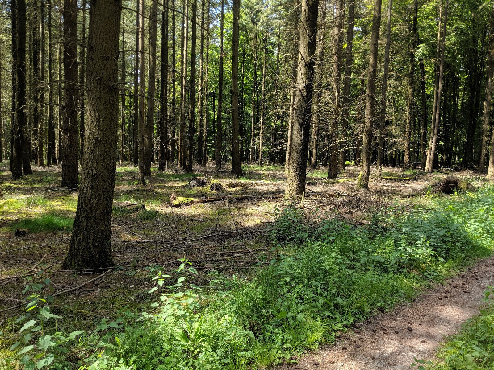
 |
| Very peaceful in the woods. |
The WPX contest was going on, so I started on 30. I quickly got a small pileup. After working through it I decided to try 40 since I had seen a number of other spots there. I was surprised that it was easy to find an open frequency. I worked the chasers there, then decided to pack up and head over to
Widderbierg.
Trailhead: 49.670951, 6.206298
Website: SOTA Site.
Maps: AA6XA/P SOTA Map
Route: Up the track to the right, then left at the signed intersection.
Red Tape: None that I'm aware of.


No comments:
Post a Comment