After getting Bloods Ridge and Corral Hollow Hill, I drove down Highway 4 a few miles to get Bailey Ridge. The trailhead is on forest road 7N09, just past the highway maintenance station if you're heading west. 7N09 is a well graded dirt road that any car can drive up. I drove up about half a mile to just past a cattle guard where the road to the summit turns off.
7N09 is a nice road, the other one to the summit not as much.
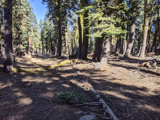
Sunny section of road.
Late afternoon view through the trees.
Summit area.
Trailhead: Forest Road 7N09, just past the cattle guard.
Website: SOTA Site.
Maps: AA6XA SOTA Hikes map.
Route: Go up the dirt road to the summit.
Red Tape: None.
Website: SOTA Site.
Maps: AA6XA SOTA Hikes map.
Route: Go up the dirt road to the summit.
Red Tape: None.


No comments:
Post a Comment