 |
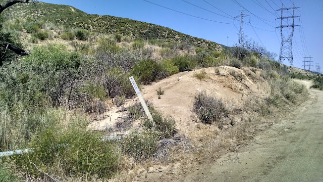
| Road going past the summit. |
From here it is about a quarter-mile walk up the hill on the west side of the road to get into the activation zone. There was a fence marking the edge of private property which I followed to the high point. Here I set up, lashing my pole to a fence post. There are a lot of trees here, and I could have gotten the antenna higher with a little effort. I had enough service to send out a spot, but it was not reliable. (2018: Good Verizon coverage) As I made three HF contacts, the mosquitoes started to attack. More calling didn't give any results, so I turned on the HT. There was a QSO going on between two stations, one on a Chabot 2 Benchmark, so I waited for them to finish then got my fourth contact with AB6SO. I think I have the most summit-to-summit contacts with that hill. The bugs were getting bad at this point, so I packed up and got moving.
 |
| Operating area. |
To get here from the Castle Rock parking, you can walk along the road, or there is a trail on the east side which you take, then bushwhack up into the activation zone. Neither option is difficult. I recommend going when there aren't any mosquitoes, so not in the spring.
Trailhead: Castle Rock State Park.
Website: SOTA Site.
Maps: KB1KXL SOTA Hikes map. Castle Rock SP map
Route: Follow the road, then hike up into the A.Z.
Red Tape: None. Castle Rock lot fills up and it can be hard to find parking. Go early to avoid this, or park far away and hike in.


