Thunder Mountain is a sub peak of Cache Mountain, a much taller and more prominent peak, in the southern section of Sawtooth National Forest. It had snowed a bit the night before, and some of the cars in the valleys had snow on them as I drove by. My plan was to drive up as far as I could on the road, then hike up hill. Google maps took me to the Forest Road, number 708. I had called the rangers to find out if you could take this road to the National Forest boundary, and they assured me that it was all on BLM land, and to make sure to leave gates in the state I found them.
 |
| Looking East, towards the Jim Sage mountains, from partway up. My car was visible from here. |
I went through the gate, and after a few feet the dirt road started getting much rougher. Not wanting to get stuck or damage the rental car, I backed up and parked in an open area next to the road. This added about two miles each way to my trip, but they were on relatively flat ground. I also think that the route I took was better than the one I had planned. There were some cliffs that didn't show up on the aerial imagery. Walk up the road until you reach a gate. Here the main road goes straight, and there is a faint road that follows the fence to the left. Take this path. If you have a high-clearance vehicle, you could easily drive to this point.
 |
| First Gate. Follow the fence on the left side. |
Shortly before crossing a small stream, there is another fence, with gates. Go through the gate, and continue following the fence.
 |
| Second gate with Thunder Mountain. |
 |
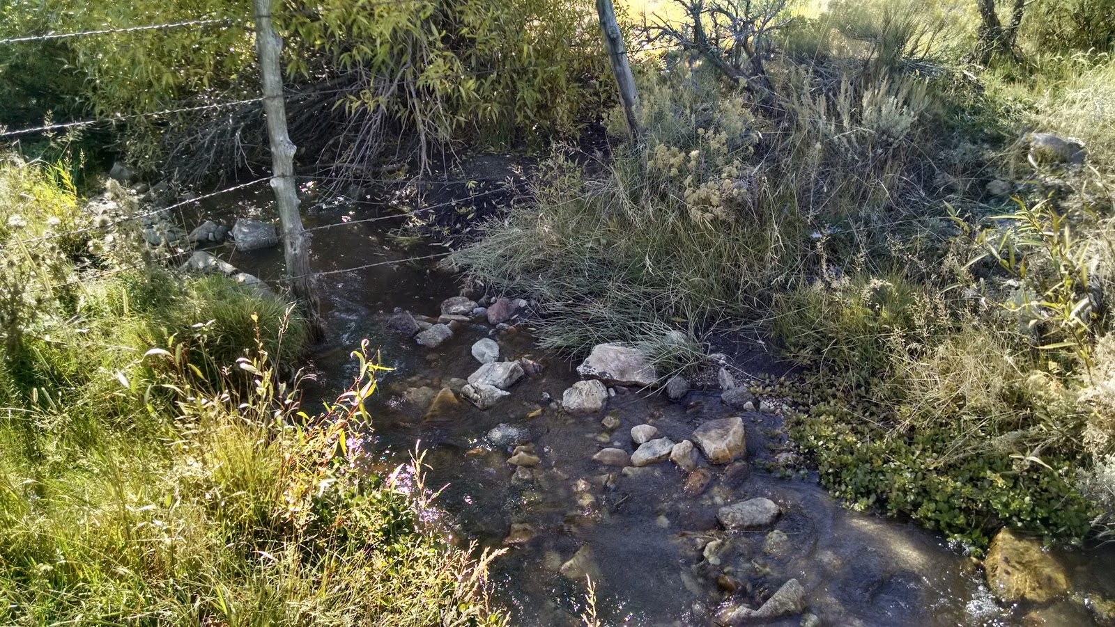
| Nice stream along the fence. |
The fence will continue across a re-entrant and up the hill. Partway up it makes a sharp 90 degree turn and goes across the face of the mountain. From this corner I started going cross-country up the hill, aiming for the ridge running down the south side of the hill. At the ridge, I turned and took it up to the summit. The summit area is covered in sparse trees, easy to find a way through. Some of the other faces have cliffs or rock slides, it was hard to tell at a distance. There were great views of
Peak 6220 and the
Cotterel Mountains on the way up and down as well.
 |
| Setup at the summit, Cache Peak behind me. High point just to the left of the photo. |
I found a reasonable flat area, and got set up. I had intermittent 4G service. I made a total of 22 contacts on the 30, 15, 17, 20, and 40 meter bands. The thermometer said it was in the mid thirties when I left the car, but the summit was pleasant in the sun, as long as the wind didn't blow too much. After spending an hour on top, taking in the views and playing radio, I headed back the way I came.
 |
| Beginning of the trees on the way up. |
Trailhead: Regular car: Beginning of Forest Road 708, by the highway. High Clearance: At the first gate along the road.
Website: SOTA Site.
Maps: AA6XA SOTA Hikes map.
Route: Follow the road to the first gate. Follow the fence to the left, through a gate, then up the hill. Where the fence turns sharply left (south), go uphill cross-country towards the south ridge. Follow the ridge up to the summit.
Red Tape: None. All on BLM or FS land. Leave gates in the state you found them.
 |
| Happy Jeff. |


No comments:
Post a Comment