After activating Hoyt Mountain and Peak 4202, I started up the trail to Josephine Peak. There is a fire road all the way to the top, maintained for the tower on the summit. This meant the hike wouldn't be as steep as Hoyt, but it would be a lot longer.
 |
| Just past the trailhead gate. |
This would be a great peak to do by bike. I had just arrived by plane however, so nothing that easy for me. It was hot as I started, but I figured I had enough water to make it to the summit. I began the trudge to the top.
 |
| Finally getting some views. |
As you climb the views get better. I was hoping there'd be some breeze higher up, but I was disappointed. The first half of the climb is on the south side of the ridge. At a col between Josephine and Strawberry the road crosses over and climbs up the rest of the way on the north side.
 |
| Almost at the summit. |
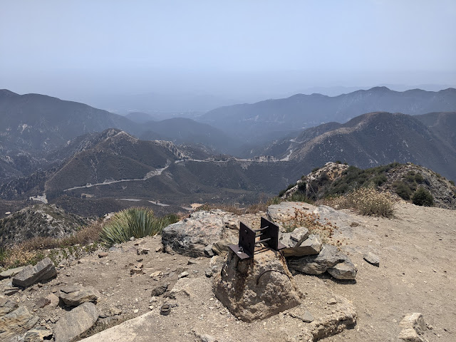
I was regretting my decision to go up, but I made it to the top without much trouble. It is not steep, except the last little bit after the road ends. There wasn't any shade on top, so I just picked a spot to sit that was comfortable and had a nice view.
 |
| Sign on top in case you forget where you are. |
There was no cell service on this summit either, but some local 2m chasers were willing to spot me, so I had a good run on the HF bands I used. By this point I still had a four mile walk back to the car, and not much water, so I packed up and headed back. It seemed like a really long walk down, but that was probably because of the lack of water.
 |
| Looking back at the two peaks I had done earlier. |
Back at the car I turned the AC on full, and headed down the hill to my hotel, ready for a shower and meal.
Trailhead: Just down the hill from Switzer Visitor Center.
Website: SOTA Site.
Maps: AA6XA SOTA Hikes map.
Route: Follow the fire road (2N64) up to the summit.
Red Tape: None.
No comments:
Post a Comment