After coming down from Pine Mountain I was still feeling good, so decided to get one more peak. Kennedy Peak looks over the small town here, and didn't look like it would be too hard. I first tried driving in from the north, along the road that is at the base of the mountain. This road is gated and signed, so no access this way.
 |
| Kennedy Meadow. |
The best place to park seems to be somewhere around the fire station, where the road turns left. From here follow the fence that encloses the old landfill across the field. It was not hard to find a path through the scrub, aiming towards the small building on the side of the hill. On the other side is the road that I tried to drive down. In this area it is not signed, so I followed it.
 |
| Up the road. |
Turn left on the road, and head up the hill. There are some switchbacks, then the road will end. It may be better to leave the road at the top of the switchbacks, but I continued to the end of the ridge, where I turned and went cross country up to the summit.
 |
| Excellent views on the way up. |
Most of the off trail section is easy walking, but the summit area is extremely rocky. The first summit you get to is slightly lower, so I went around the very high point, then climbed up the slightly higher south summit. Although it looks like it might be hard scrambling, it is all class 2, maybe 3.
 |
| On the high point, looking back at the second peak. |
At the high point I found the register. There weren't many entries since the last SOTA activators had come up. I took a pic to send to them, then put up my antenna. No cell service on the summit, so I relied on RBN again. It seemed to work better than on Pine Mountain, so I had no trouble getting my contacts.
 |
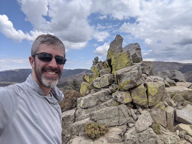
| Summit selfie. |
I mostly retraced my steps back, but cut straight down to the top of the switchbacks rather than following the ridge to the end. Going down, this was easy. Back at the car the clouds had fully dissipated, making the drive down Nine Mile Canyon pretty spectacular.
Trailhead: Near the landfill, west end of Goman Ave.
Website: SOTA Site.
Maps: AA6XA SOTA Hikes map.
Route: Follow the fence past the landfill and across the field. Take the road up to the ridge, then follow the ridge to the summit.
Red Tape: None. Hike appears to be entirely on BLM land.
No comments:
Post a Comment