I was looking for an easy peak in the area, and this one seemed like a good candidate. I had never been to Lake Isabella, so I was looking forward to seeing that too. For the peak, I parked in a very large pullout just past 25S17 on the paved 25S15, Rancheria Road.
 |
| Pullout to park in. Even got a shady spot! |
I then walked down to the dirt 25S17 I had just driven by and started walking up the hill. I took the road to the first switchback, where I stepped off and went up.
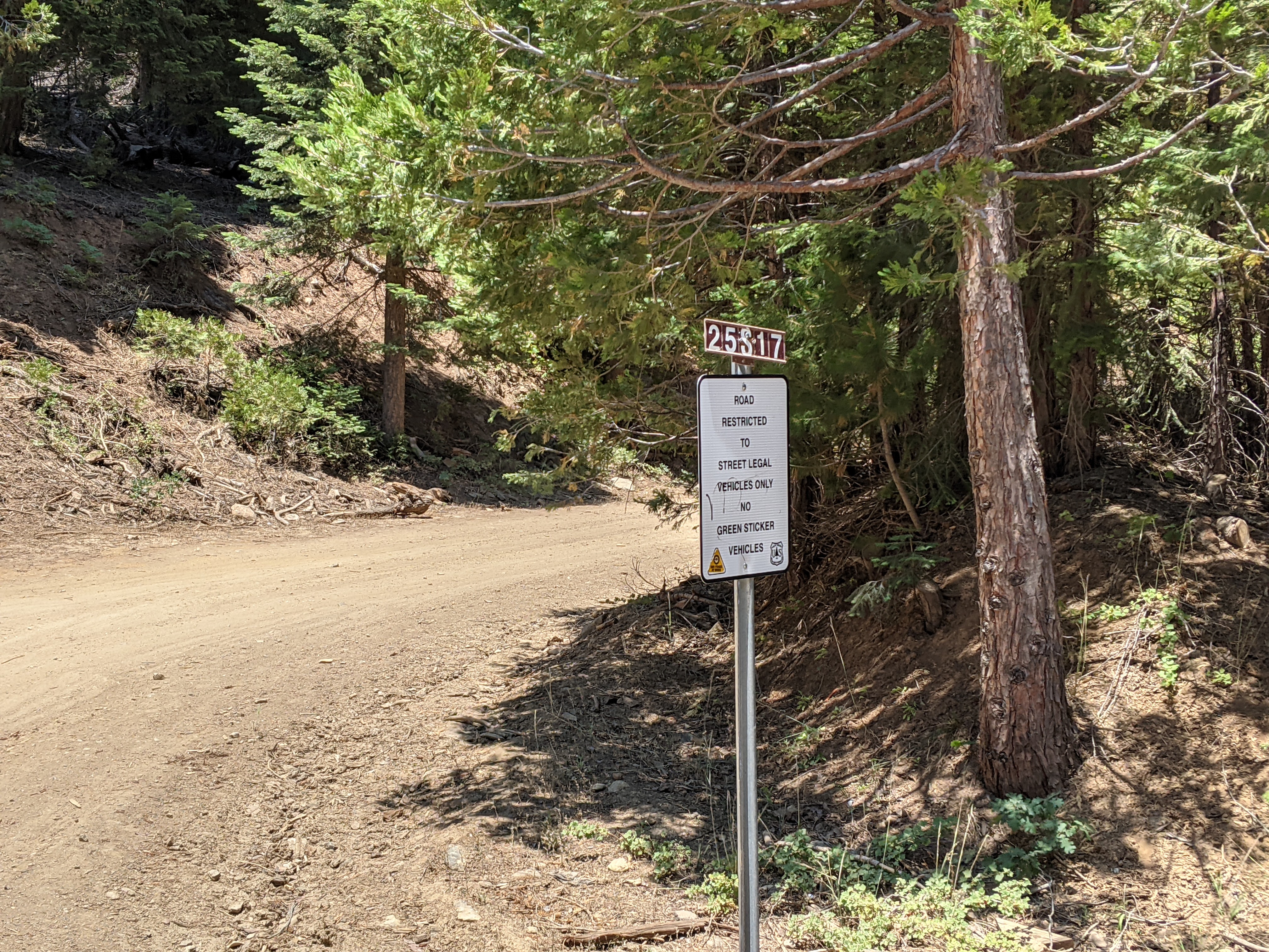 |
| Start of the dirt road. |
It was a little steep going up, but the open forest was easy to navigate. There was not a lot of deadfall like NA6MG reported. It was typical easy Sierra bushwhacking.
 |
| Nice open forest on the way up. |
Near the ridgeline I found an abandoned trail that seemed to run along the ridge. It was going the way I wanted to, so I followed it. There are a few small bumps along the ridge, but eventually you'll get to the highest, marked with a small cairn and ammo case register.
 |
| Summit of 7140. |
I signed the register, then started setting up my antenna. There was a nice clearing right at the summit, so I was able to stake out my pole and string out the antenna without any issues. I decided to put up the linked EFHW so I could do 17-40.
 |
| The only view from the summit. |
There was decent cell service on top, and I was able to spot myself for all the portable activities, SOTA, WWFF, and POTA. This resulted in some pretty good pileups, and I spent about two hours on the summit operating. When I was done, I retraced my steps back to the car.
 |
| Bear! (In front of the orange netting) |
As I was in my car, about to pull back into the road, I noticed something in the road above me. I stopped to look, and saw it was a bear! I tried to get some pics, but it started walking away from me. I was not in a rush to get back, so I turned and followed it up to the ski area. Here it went into the woods after looking at me for a few moments. It didn't seem like it was coming back, so I turned around and headed back down to the lake. This made the outing much more exciting, and I was glad I didn't run into it until I was in my car.
Trailhead: Pullout on Rancheria Road, between the ski area and 25S17
Website: SOTA Site.
Maps: AA6XA SOTA Hikes map.
Route: Go up dirt 25S17 to the first switchback, then go straight up to the ridge. Follow the ridge over to the summit.
Red Tape: None.
Website: SOTA Site.
Maps: AA6XA SOTA Hikes map.
Route: Go up dirt 25S17 to the first switchback, then go straight up to the ridge. Follow the ridge over to the summit.
Red Tape: None.
No comments:
Post a Comment