I was visiting Glacier National Park with my sister, and the forecast was for some not so great weather in the park, especially up high. To avoid this, we decided to do some hiking in the National Forest just south of the park. A ranger had recommended Buffalo Lakes, so we decided to go there, then head up to this summit.
 |
| Gate at the trailhead. |
The trailhead is not marked, it is just a pullout with space for about four cars on the south side of US 2, a few miles past the Reservation border. There is a gate to stop cattle, then the trail. The trail up to Buffalo Lakes is pretty well worn, and was easy to follow. The first part of the trail is parallel to the highway, but after a quarter mile or so it turns and follows a ridge towards the lakes.
We did make a wrong turn a little below the lakes, but quickly realized it wasn't the trail when we started having to fight through the brush. In one of the meadows on the way up we saw a bear. We made some noise, and it ran off, but scary for a moment.
At the lakes we followed the shore around the south side. There was no obvious use trail, so we just picked a point to head through the dense brush surrounding the lakes and into the forest. The brush band was not wide, thankfully, and we were soon heading up through a nice open forest. We quickly gained the ridge, and the views really opened up, along with the wind.
It was quite windy on top. We tagged the summit, took some pics, then retreated down the hill a bit to get out of the wind. I set up near the bottom of the activation zone, at the edge of some trees. This provided enough of a wind break to make operating mostly pleasant.
I was surprised to have good cell service on top, so I took advantage of it to spot. I got contacts on all the bands I had, 20, 30, and 40, but not very many on each. After about 20 minutes, the wind was getting us both cold, so I packed up and we retreated down the hill.
We mostly followed our track down, and quickly warmed up once we got back into the forest. We didn't see our bear friend on the way down, but I was ok with that. Overall, this is a relatively easy summit, and I'm surprised I was the first to activate it.
 |
| Climbing up to the lakes. Glad I wasn't doing a high peak! |
We did make a wrong turn a little below the lakes, but quickly realized it wasn't the trail when we started having to fight through the brush. In one of the meadows on the way up we saw a bear. We made some noise, and it ran off, but scary for a moment.
 |
| The Buffalo Lakes. Very pretty. |
At the lakes we followed the shore around the south side. There was no obvious use trail, so we just picked a point to head through the dense brush surrounding the lakes and into the forest. The brush band was not wide, thankfully, and we were soon heading up through a nice open forest. We quickly gained the ridge, and the views really opened up, along with the wind.
 |
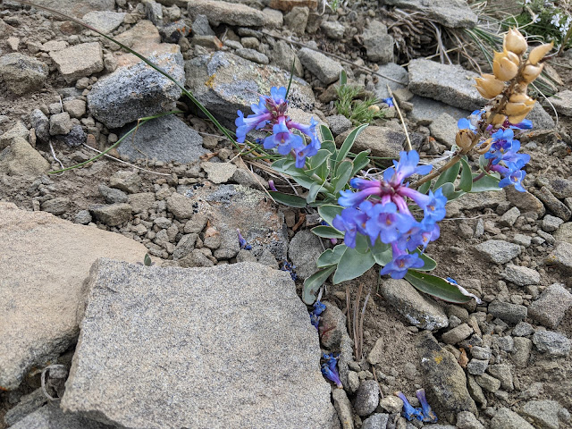
| Flowers holding on near the summit. |
It was quite windy on top. We tagged the summit, took some pics, then retreated down the hill a bit to get out of the wind. I set up near the bottom of the activation zone, at the edge of some trees. This provided enough of a wind break to make operating mostly pleasant.
 |
| Always nice to have a view while operating. |
I was surprised to have good cell service on top, so I took advantage of it to spot. I got contacts on all the bands I had, 20, 30, and 40, but not very many on each. After about 20 minutes, the wind was getting us both cold, so I packed up and we retreated down the hill.
 |
| Buffalo Lakes would be a nice place to camp. |
We mostly followed our track down, and quickly warmed up once we got back into the forest. We didn't see our bear friend on the way down, but I was ok with that. Overall, this is a relatively easy summit, and I'm surprised I was the first to activate it.
Trailhead: Unmarked parking area, US 2, a few miles west of the reservation boundary.
Website: SOTA Site.
Maps: AA6XA SOTA Hikes map.
Route: Take the trail up to Buffalo Lakes. At the southeast end of the lakes, take the ridge up to the summit.
Red Tape: None. The hike is in Lewis and Clark NF.
Website: SOTA Site.
Maps: AA6XA SOTA Hikes map.
Route: Take the trail up to Buffalo Lakes. At the southeast end of the lakes, take the ridge up to the summit.
Red Tape: None. The hike is in Lewis and Clark NF.
No comments:
Post a Comment