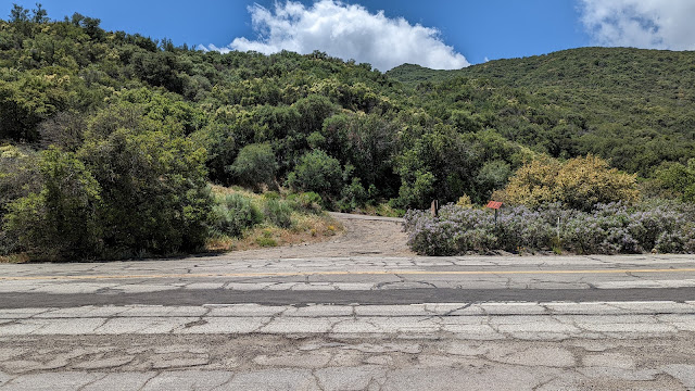
I was down in southern California for work, and before starting I decided to get some hiking in. It seemed like Whitaker and its nearby neighbor (CT-263) would make a nice hike. From the airport I drove up I-5 to the Golden State Highway, where I parked at forest road 6N53. Sadly, the gate was closed at the base, so I had to walk and extra few miles.
 |
| Start of Whitaker Peak Road. |
The road is paved up to the junction with 6N53B, though it would be a rough drive in places. It is about two miles to the communications site where the road splits. From here, I took the left fork and descended to the col on the now dirt road.
 |
| First view of Whitaker Peak. |
The road then climbs at a steady grade. It was Mother's Day, so I was surprised to see other people out hiking, but I basically had the place to myself. The best way to get to the summit seems to be an approach from the north side. However, it is a challenge getting off the road, since there is an impassible embankment.
 |
| The annoying embankment. |
I tried a few places to get up it, but it was too steep or slippery for me. I needed to walk past the peak, to the col with the towers peak to find a place low enough to scramble up. I then had to walk all the way back through the brush to the base of Whitaker proper.
 |
| Ready to go cross-country. |
The bushwhacking wasn't particularly difficult. I could find open passages, or the places I needed to push were fairly thin. It seemed like the south side was slightly more open, but not enough to stay on it. At the summit I found a benchmark and register. After signing it, I set up the antenna. Somehow I managed to get the wire all knotted up as I was unwinding it, but the end-fed got in the air eventually. I had decent cell service on the summit.
 |
| Excellent views. |
Once I was done operating I retraced my steps back to the road and down. It was nice getting back on the easy to follow road, and I made good time back to the road junction. Here I turned left again to go get the other peak.
Trailhead: Forest Road 6N53. If you're lucky, you can drive up to the communication site.
Website: SOTA Site.
Maps: AA6XA SOTA Hikes map.
Route: Follow paved 6N53 (Whitaker Peak Road) to the junction. Turn left, follow the dirt road to the north side of the peak, the bushwhack to the summit.
Red Tape: None.
Video: ham_bitious YouTube
Website: SOTA Site.
Maps: AA6XA SOTA Hikes map.
Route: Follow paved 6N53 (Whitaker Peak Road) to the junction. Turn left, follow the dirt road to the north side of the peak, the bushwhack to the summit.
Red Tape: None.
Video: ham_bitious YouTube
No comments:
Post a Comment