This is an excellent peak. If it is not a clear day, don't come up.
 |
| Looking North. |
Drive up Grouse Ridge Road, 14. It is dirt, and rough in places, but my poor little sedan made it. I was going to camp there at night, so I claimed a site and set up my tent. I then grabbed my backpack and bag and walked up to the summit.
 |
| Watching the North Fire burn. |
It is a trivial walk up to the top. There is a sign on the lookout saying that it is being repaired and will someday be open for overnight rentals. I clamed a corner of the deck and got busy putting up my VHF stuff. I had two Yagis, and a 6/HF antenna to put up, as well as two transverters to hook up.
 |
| Majestic looking antennas. |
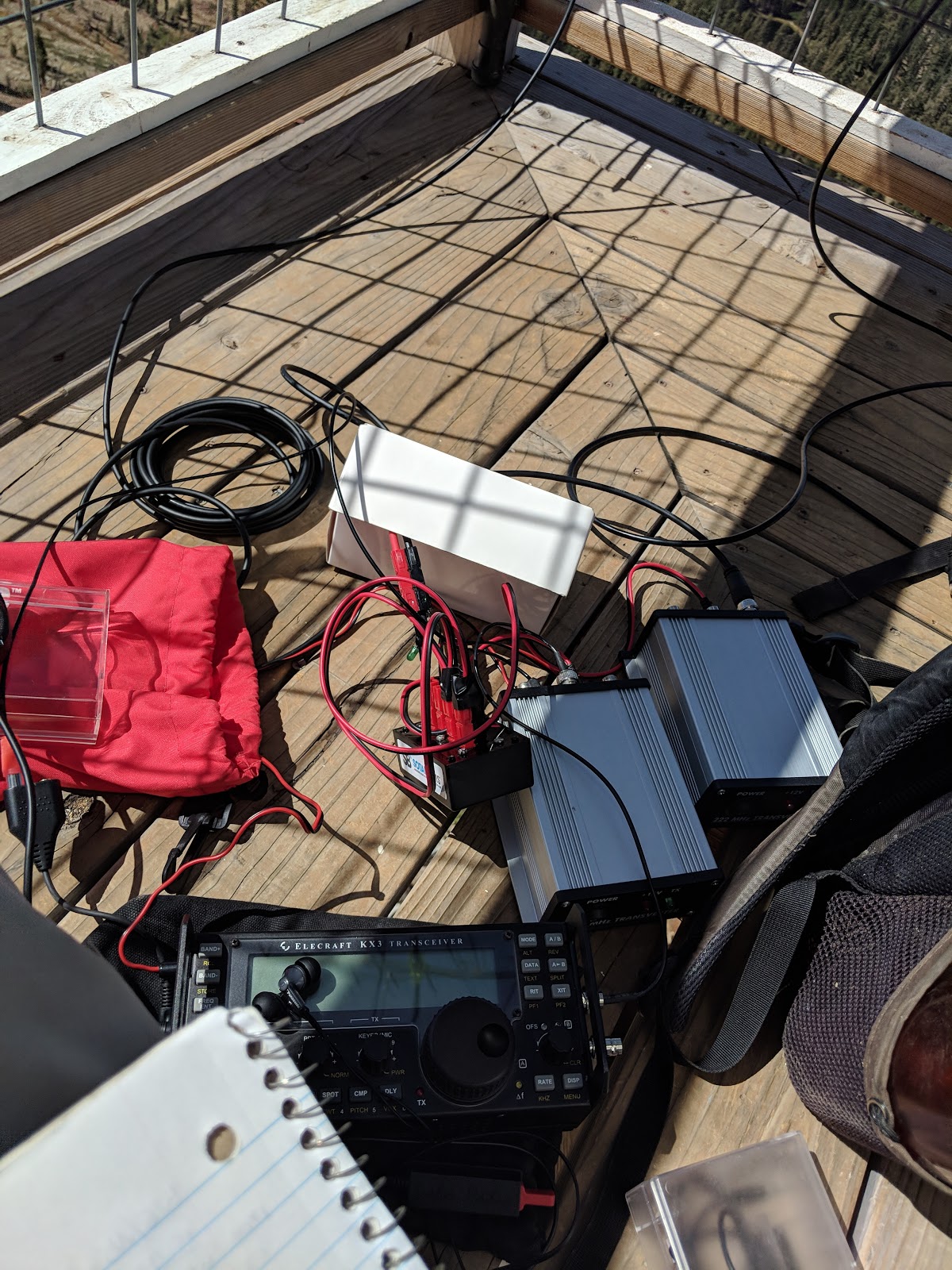
 |
| What a mess of cables! |
On the air I quickly began filling the log with contest stations. I got the most contacts on 2 meters, as I expected. 50MHz was deader than I expected. This could be in part because of the bad antenna I was using for the band. I haven't found a good solution for a portable antenna for this band. Once I found the offsets for the transverters for 220 and 440 I made some weak signal contacts on each band.
 |
| I think that is smoke on the horizon from the fires north of Redding. |
When VHF activity slowed down, I worked some normal chasers on HF. Considering how accessible this peak is, I was surprised how few people I saw while I was on top. After about 4 hours the action had died down, and the sun was starting to set, so I packed up.
 |
| I think those are the Sierra Buttes. |
Back at the campsite I had dinner and settled in for the night. Someone with some foresight had placed the campsite on the lee side of the hill. Thank goodness. The next morning I drove up to the Donner Summit area for a rogaine.
 |
| View from my campsite. |
Trailhead: Grouse Ridge CG. TH parking is just above the CG.
Website: SOTA Site.
Maps: AA6XA SOTA Hikes map.
Route: Follow the road up to the lookout.
Red Tape: None.
 |
| The road, just below the lookout. |


No comments:
Post a Comment