Clyde Mountain is a relatively easy peak near Lake Spaulding. WB0USI posted some directions to get to the top, but I found them hard to follow. I took his suggestions of parking in a small pullout past the dam of Fuller Lake and then went my own way.
 |
| Car parked in a small pullout. |
After parking I just went straight up the mountain. The bottom is fairly open forest, and I had no trouble going up. I crossed an abandoned road a few times, probably the one Rick mentions.
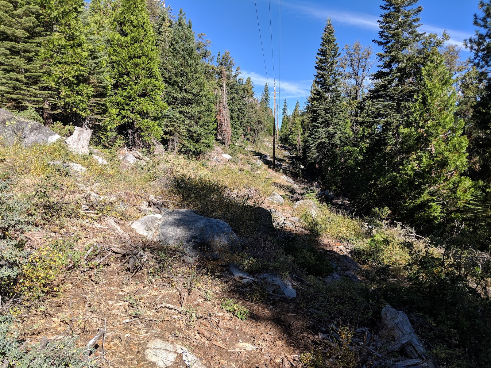
 |
| Under the power lines. |
About 120' below the summit I encountered some dense, waist-high brush. This slowed me down some, but I was able to just power through it. I got a few cuts on my legs, despite wearing pants, but they were inevitable when I started bushwhacking. I got to the summit ridge just north of the summit, and pushed through the manzanita the last few vertical feet to the high point.
 |
| The top of this rock appeared to be the highest point. |
On top I set up my antenna and was on the air. I had good cell service. As I operated I watched the North Fire burn, a few miles away on the other side of I-80. I didn't linger, since I wanted to get up to Grouse Ridge for the VHF contest later. After finishing radio stuff, I went straight back down the mountain.
I managed to pop out of the woods right at my car, which was a welcome sight. I then continued up to the next summit.
Trailhead: Bowman Road, past the Fuller Lake Dam.
Website: SOTA Site.
Maps: AA6XA SOTA Hikes map.
Route: Go straight up. Its not too steep.
Red Tape: None.
 |
| No dense brush ever stopped me (except on Pk 4850) |


No comments:
Post a Comment